Date: May 8, 2016
Time: 3:30 - 7:45 PM CDT
Place: Blair, Lawton, Central City, OK
Distance: 1104 mi (437 positioning, 151 chasing, 516 to home)
Camera: T3i, GoPro3 Black, Sony RX100ii
Warnings: SVR, TOR
Rating: S5
The Chase
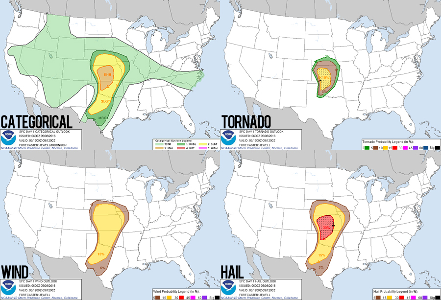
7:29 AM MDT: Leaving the Goodland, KS Holiday Inn Express targeting SW Oklahoma today. I can't help bet get PTSD flashbacks to our most dismal chase last year - May 16 - as today's setup has some eerie similarities. We are starting in Goodland again, but I'm not forgetting it's in the Mountain time zone. There is a huge swath of enhanced risk again, but I am concentrating exclusively on SW Oklahoma. And today we won't delay getting to the target area in plenty of time.
9:14 AM CDT: Gassing up in Oakley and then dropping south all the way to Altus. Trying to preserve mobile data by listening to the radio instead of Pandora. Choice is either 90's Christian rock or Rush Limbaugh reruns :/
10:34 AM: Some new hotels almost finished construction in Garden City. Gotta keep that in mind next year if we finish a chase day in Western Kansas.
1:25 PM: A new mesoscale discussion just issued reflects my basic thinking. Bulging dryline in SW OK will initiate storms late this afternoon, with deeper moisture there allowing a window for tornadoes. Current fly in the ointment is the anemic shear, but there's still time for that to improve.
2:42 PM: Lunch at Elk City Arby's? Well it worked so well for April 26th this year, why not? (Let it not be said that we are superstitious.)
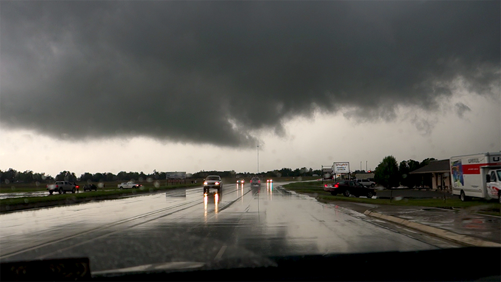
3:07 PM: Smack dab in the middle of a new Tornado Watch!
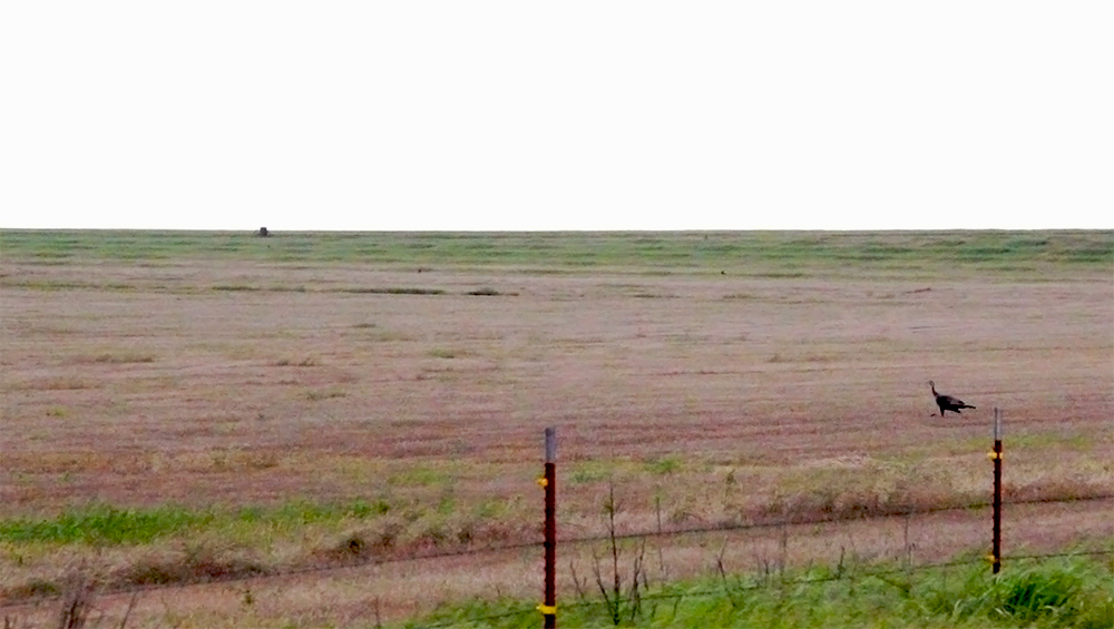
3:14 PM: Whenever we drive Hwy 6 in Oklahoma, I make it a point to stop here just for a moment. It's the first location we ever observed a plains supercell on our first chase back in 2012. Today there was a donkey in the fence that brayed hilariously at Toni when she tried to pet it.
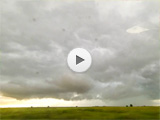
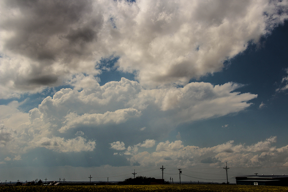
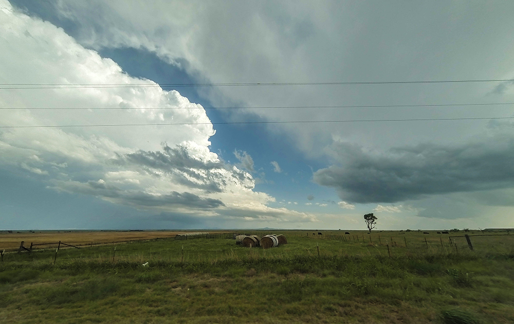
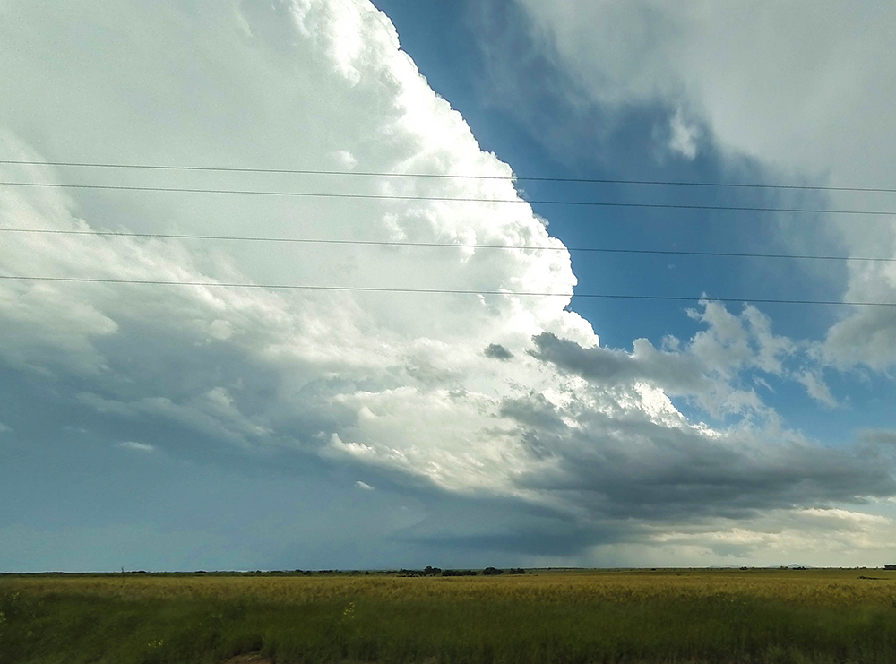
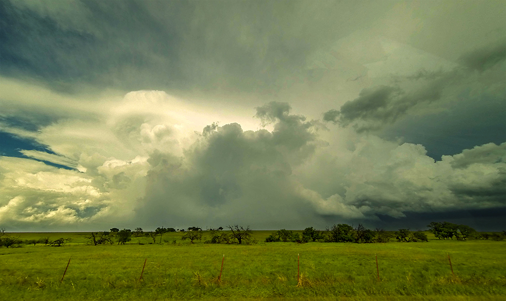
3:40 PM: Towers are initiated; watching them develop just north of Altus! Timelapsing the first growing storms of the day is such a great feeling - so much excitement and hope.
4:10 PM: The young cell I've been most interested in appears to be splitting now. Moving back north just a little to stay with it.
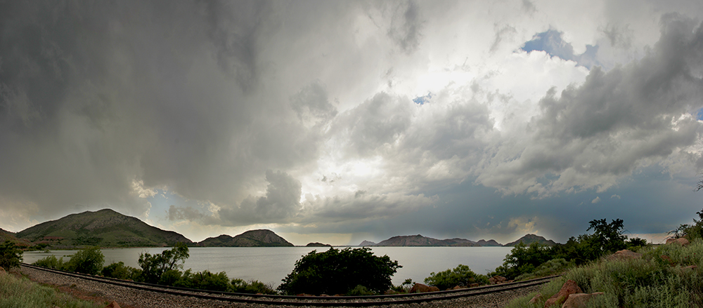
4:29 PM: We are sitting on the south end of Lake Altus now, and cells still aren't really taking off yet. Need to get these splits out of the way first.
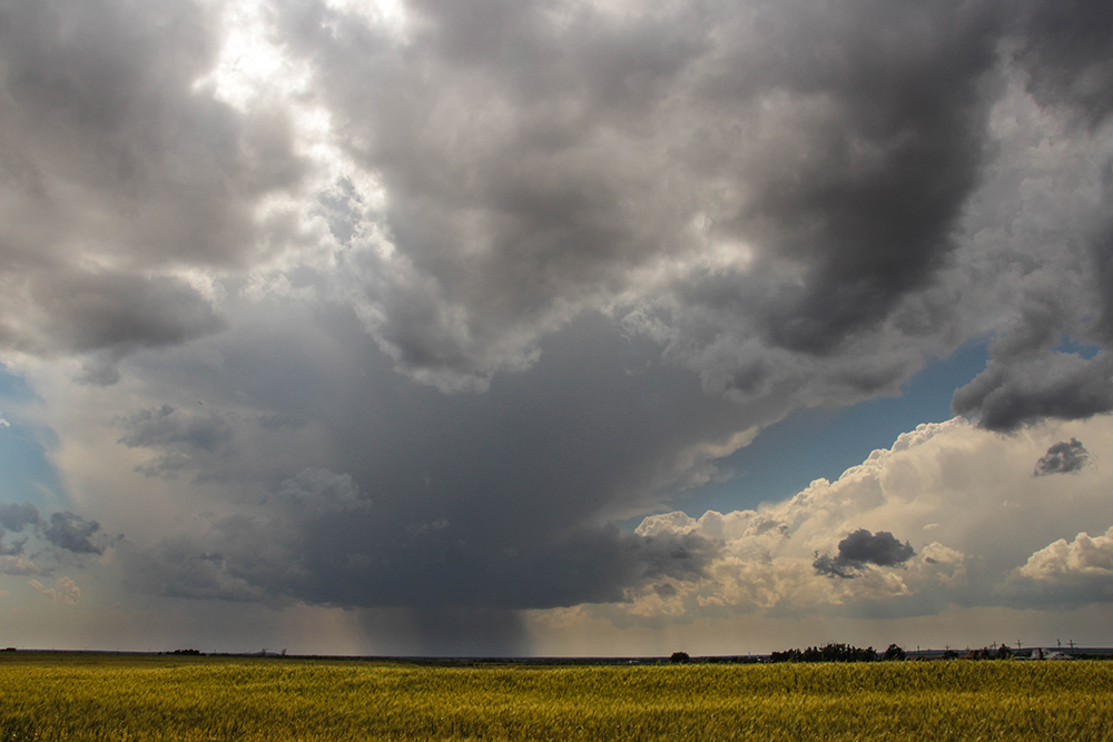
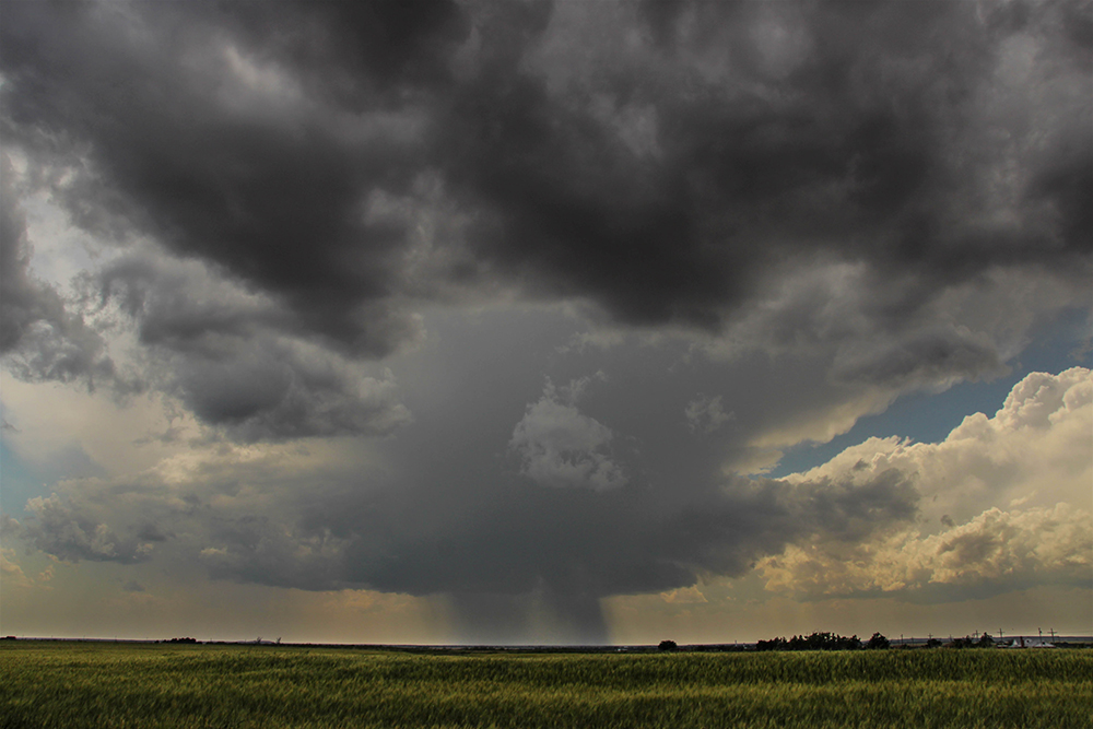
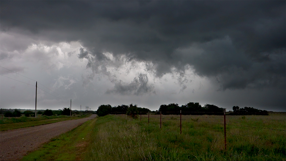
4:52 PM: Messy messy messy cells! Well separated but none have that look yet. Might be about time to drop back to some new storms nearing Snyder.
5:24 PM: Just south of Gotebo, we are passing the most impressive left-split cell I've ever seen. Almost an exact mirror-image of a supercell - rotating anticyclonically. Nothing interesting under the base though. These strong left-splits are probably indicating a straight-line hodograph wind profile, which was mentioned in a couple forecasts.
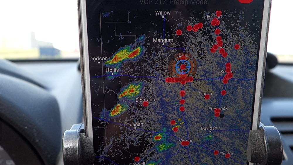
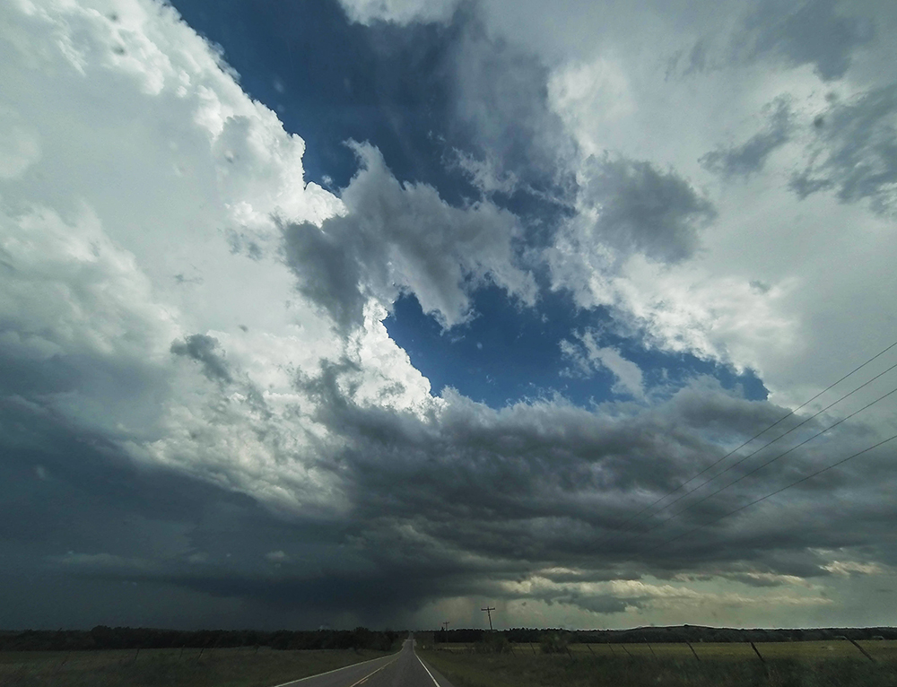
5:40 PM: Nearing the Hwy 54/62 intersection. There's a cell that might be finally right-turning and slowing down (but it did just put out another monster left-split cell). We are going to be in tough position to get in front of it though - currently northwest of it :(
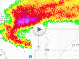
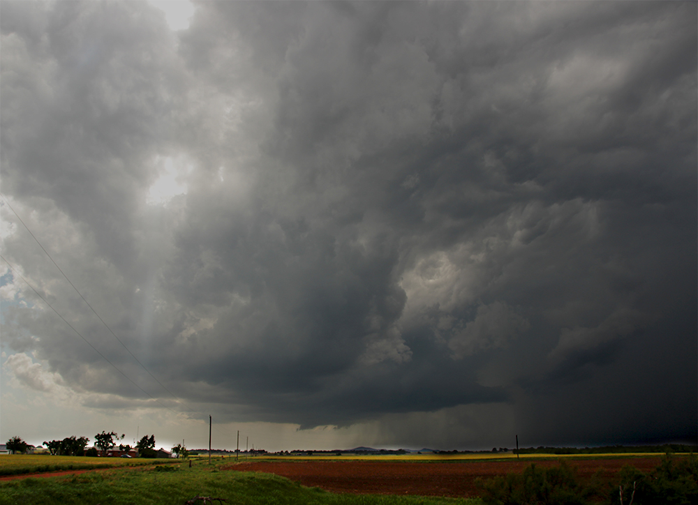
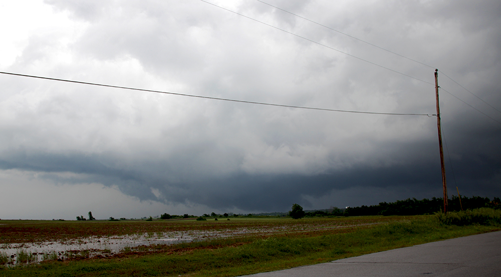
6:03 PM: We've caught the storm, but now our trickiest maneuver is at hand. Baseline Rd south of Indiahoma is a great east-west road, but it cuts directly into the supercell hook. Hook slice time - eeek.
6:10 PM: TORNADO WARNING!
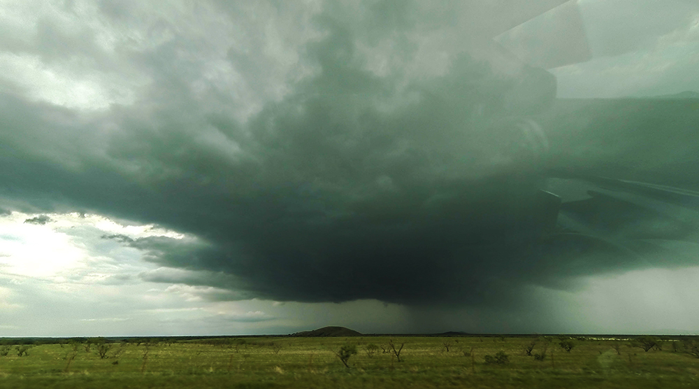
6:16 PM: We chickened out. Punching into the RFD precip of the hook, Toni started noticing something suspicious to our southwest. It seemed out of place to be tornadic, but radar was a bit old so we halted just to be safe. Gonna try and swing south around the hook instead.
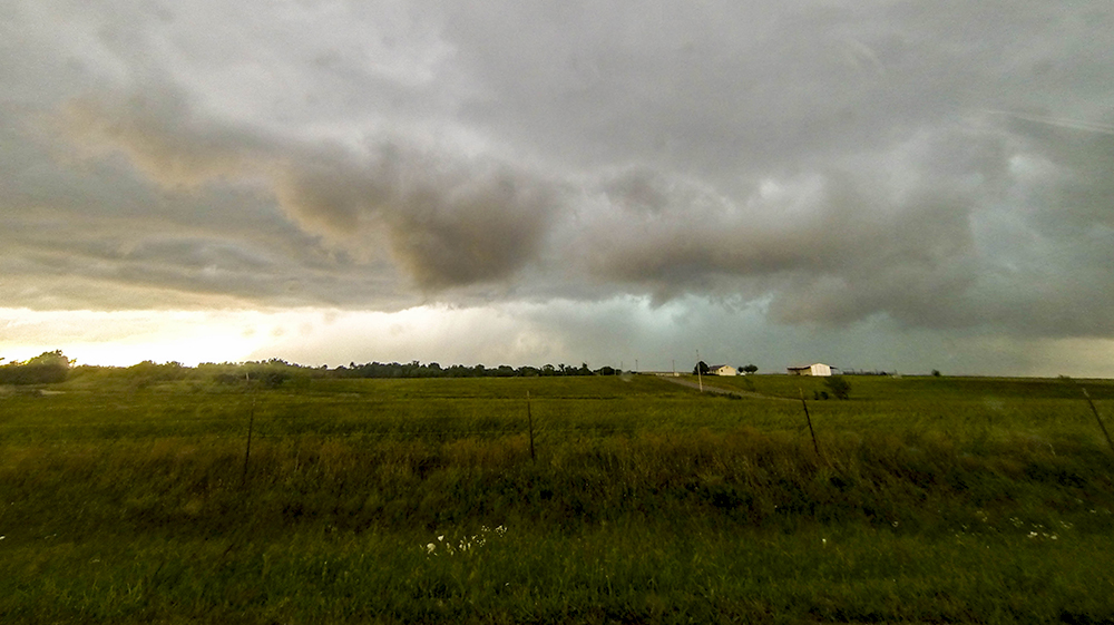
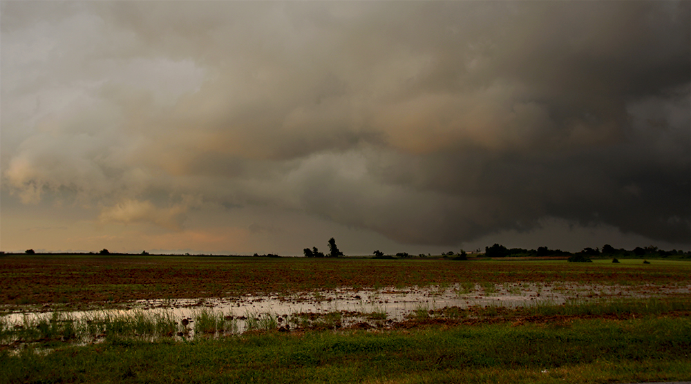
6:33 PM: Radar presentation is amazing as a beautiful RFD wraps around. We're just south of the tip of the hook, but don't see any obvious wallcloud from this vantage point.
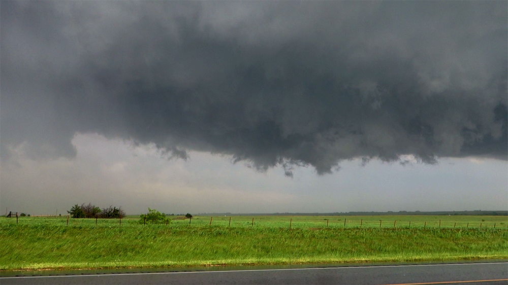
6:47 PM: Storm continues to look great on radar, but we can't seem to pull ahead of it on these grid roads. Frustrating to be so close with no view!!
6:57 PM: Stair-stepped a couple times but still not in better position. Motion looks a little more intense just a couple miles to our NNE.
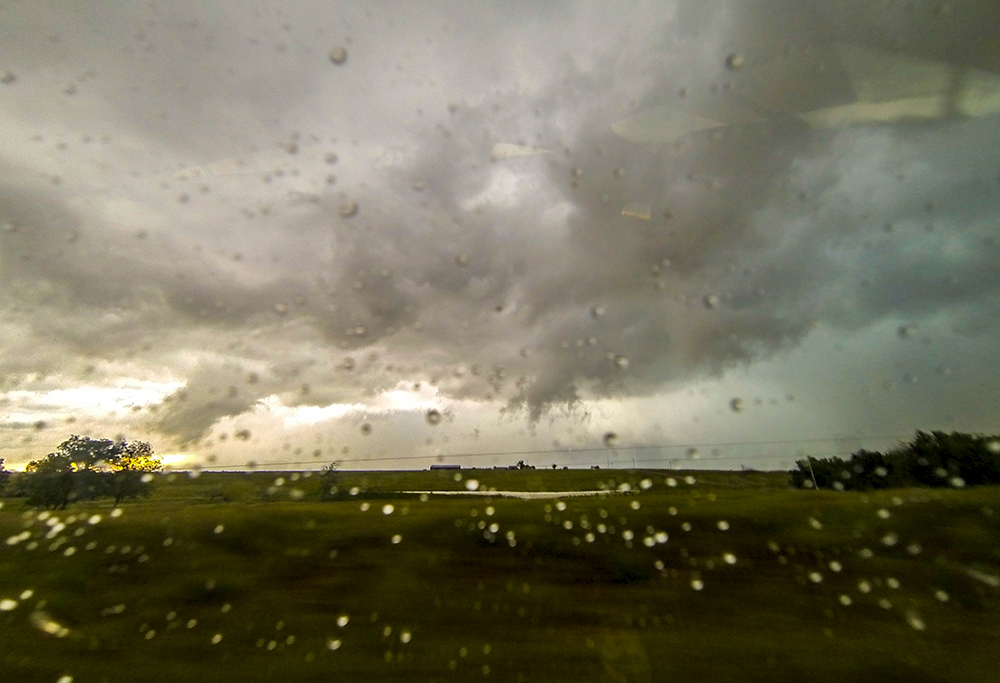
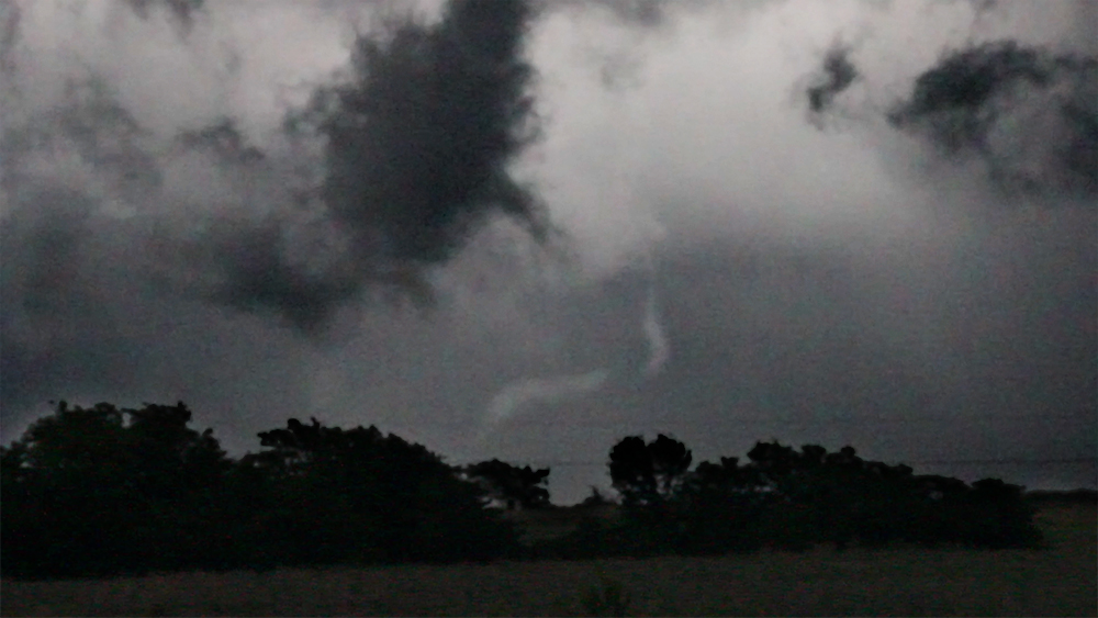
7:04 PM: Just stopped on a rise for a minute to get out and take a look at the storm. As I was walking back to the Crosstrek contemplating calling it a chase - BAM - rope tornado dangling out the storm. Had enough time to get maybe 10 seconds of footage before it was gone. BUT IT COUNTS!
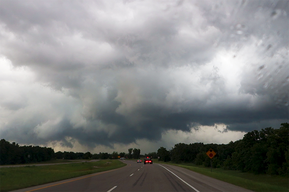
7:14 PM: With interest renewed in the storm, we are now approaching more substantial roads where we can get closer. Should be able to intercept near Marlow.
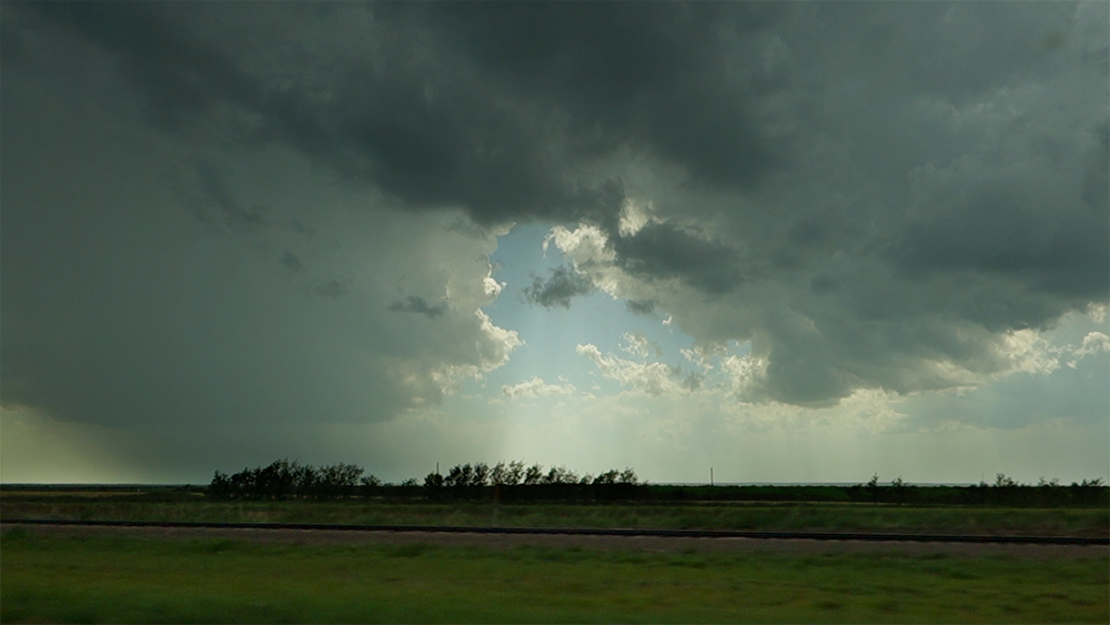
7:25 PM: Very suspicious cloud formation just north of us as we pass through Marlow. Not calling it a funnel, but close.
7:30 PM: There's some substantial rotation on this updraft column just north of town, but it seems very divorced from the main storm which has moved further northeast. Not sure what to make of it.
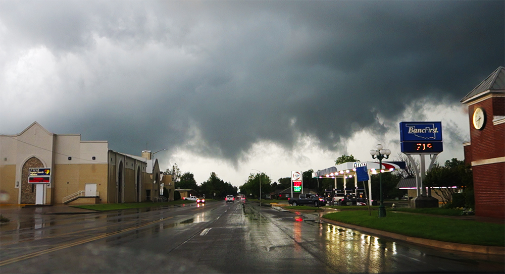
7:36 PM: Marlow blew their tornado sirens. Pretty sure that wasn't necessary, but it's a nice sound to hear anyway. This wonky little updraft column seems to be falling apart.
7:49 PM: Well, that's a chase. Tricky day today with all the left splits. I was hoping for a more classic dryline day. Now we have a long drive back to Amarillo, before heading home for work tomorrow.
8:32 PM: First time in Lawton - gotta hit up the DQ for dinner! Natch.
12:14 AM So tired! This Home2 Suites in Amarillo never looked so good.
Recap, Filmmaking Notes, and Lessons Learned
- This was the first time we've caught tornadoes on consecutive chase days!
- The Central High tornado ended up being the only tornado in Oklahoma. Left-splits flew north and choked off other supercells across the state. And of course, there were tornadoes back in west central Kansas where we started the day.
- It's pretty much impossible to get satisfactory, smooth timelapse while driving on grid roads. Maybe I should look into an in-car gimbal mount for a GoPro.
- Never turn your back on a supercell. If you've been chasing it for an hour, the 2 minutes you stop paying attention is when it'll drop something.
- I don't like hook-slicing.