Stephen's Storm Log
Date: May 22, 1987
Time: Early Evening
Place: McDonald Observatory, TX
Stephen's Storm Log Origin Story
It’s weird to be able to point back to a very early, singular event in your life that drives so many interests and decisions decades later. But for most people obsessed with weather, this isn’t that unusual. My life-long fascination began when I was only 4 years old on the evening of May 22, 1987.
At the time, we lived on a remote mountain in western Texas (McDonald Observatory where dad worked as an astronomer). 32 miles to our northeast, residents in the tiny town of Saragosa, TX prepared for a preschool graduation ceremony at the town hall later in the evening – never suspecting that one of the worst Texas tornado disasters was only hours away. Overhead, rich gulf moisture was being pushed eastward, and overrun with southwestwardly upper level winds. It was a fairly common springtime upslope scenario with high instability but relatively light shear.
That morning, the Lubbock NWS noted the possibility of storms all across western Texas, and the National Severe Storms Forecast Center issued a slight risk for severe storms in the area. At 3:11 PM a severe thunderstorm watch was issued for most of western Texas and eastern New Mexico, and by 3:20, the first echoes of convective initiation started to manifest on the Midland radar. Thunderstorm tops soon reached 50,000 feet in the unstable environment, and reports of large hail began to trickle in from multiple strong cells in the vicinity of Saragosa. In the relatively light steering winds, this storm complex remained nearly stationary for several hours as the afternoon wore on – building strength for something much worse.
I was, of course, oblivious to all this at the time. For me, it was a completely normal day and I have no memories of the morning or afternoon. But that all changed at suppertime when our family dinner was disrupted by one of the most intense storms I had ever experienced. I can distinctly remember the sound of the rain, hail, and wind beating on the ceiling – punctuated by booming thunder. It was so loud that we could hardly talk during supper. Storms were not unusual on the mountain, especially during the summer monsoon months, but this was something that stood out as distinctly ominous and scary. To a four year old, our house was an invincible sanctuary, but this storm threatened that perception in a very visceral way.
But as we ate dinner, we had no clue that something much worse was developing just 30 miles northeast on another storm in the complex. At 7:20 PM, the cell near Saragosa began to take on supercell characteristics as cloud tops neared 60,000 feet – tilted and shifted over the storm’s inflow region by the light shear. Amateur radio spotters reported a rotating wall cloud 4 miles west of Balmorhea at 7:46 along interstate 10, and at 7:54 a tornado warning was issued for Reeves county. At 8:10, a brief tornado touched down just outside Balmorhea, and then at 8:16 another dropped just southwest of Saragosa. Initially, this second tornado was also weak and narrow, but as it approached town it suddenly evolved into a massive half-mile-wide, multi-vortex F4 tornado. Nearly half of the town’s 200 residents were gathered in the town hall for the preschool graduation, which was actually one of the better-built structures in Saragosa. Unfortunately, however, the hall was no match for a direct hit from a violent tornado. Tragically, 30 people lost their lives that evening in Saragosa – 22 at the graduation ceremony.
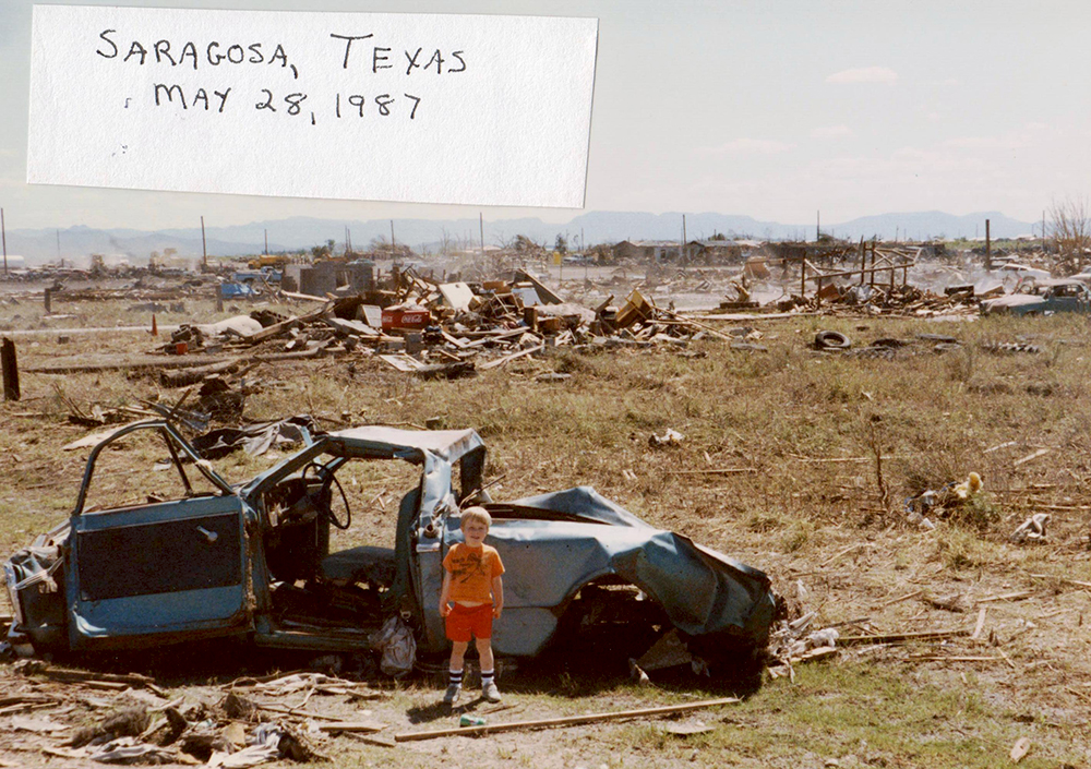
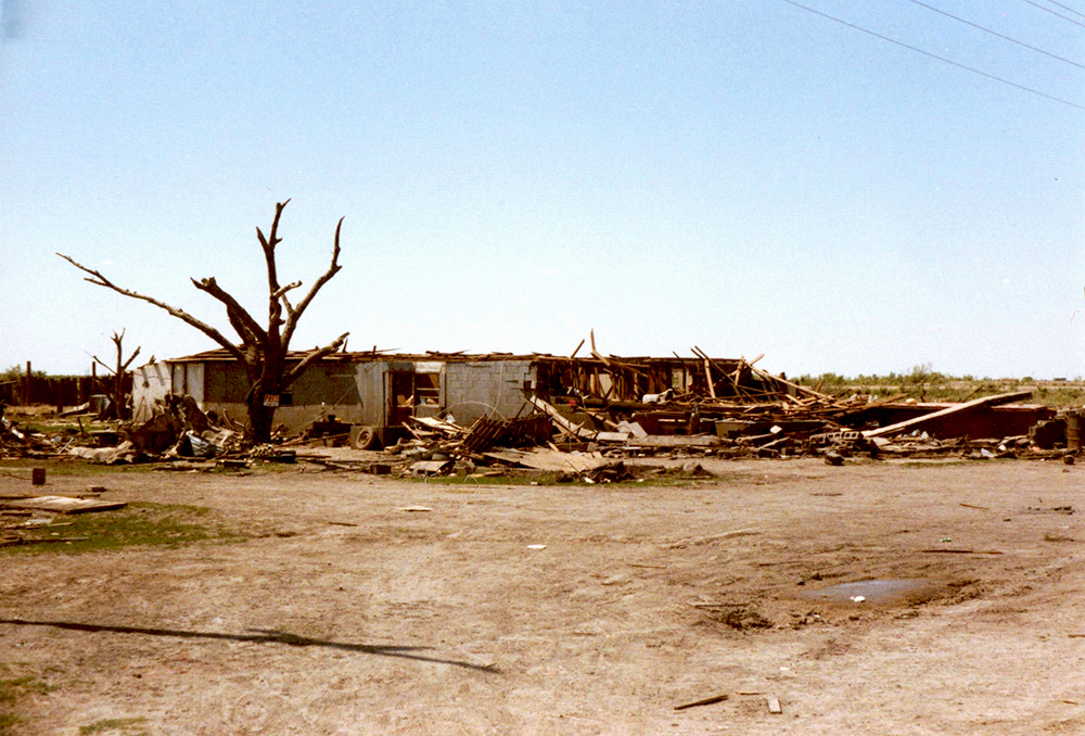
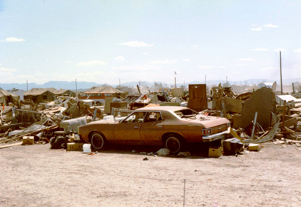
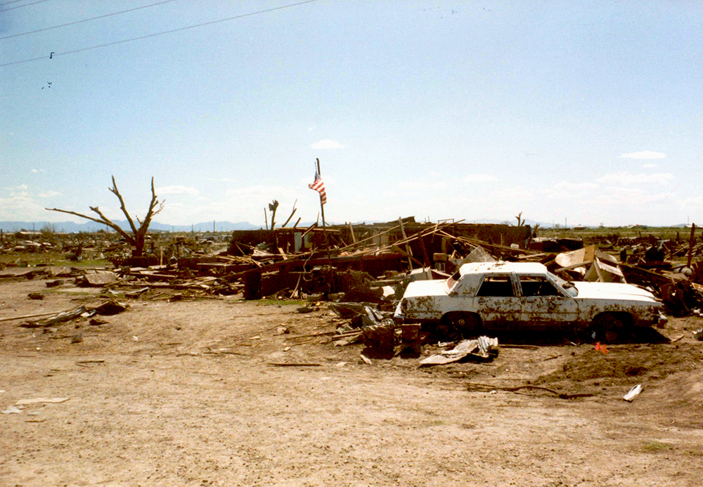
Six days later, with the scary suppertime storm still vivid in my memory, we visited the damage at Saragosa. What I saw then still sticks with me clearly to this day. House after house was reduced to a pile of boards and rubble. These were houses that were probably like mine, except they were in the way of this tornado - it was a powerful realization for a 4 year old. On the north side of town near Hwy 17, a blue pickup had been tossed and tumbled to the side of the road. Dad told me to go stand next to it for a picture, and as I approached this battered truck I was scared to death that a person, or maybe dead cats, would be inside. It was a profound experience – this was somebody else’s car and it had been torn apart like it was nothing.
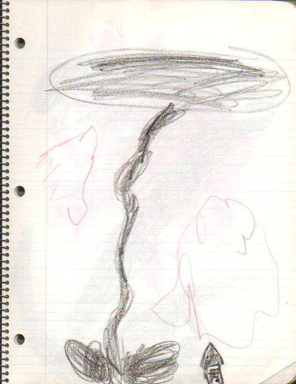
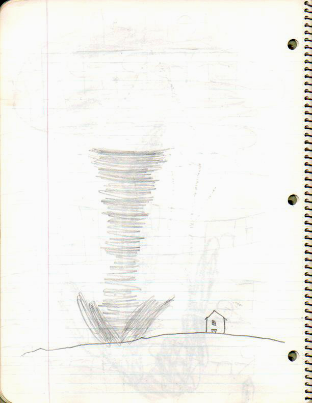
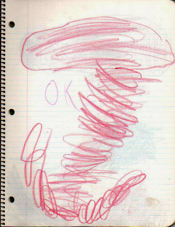
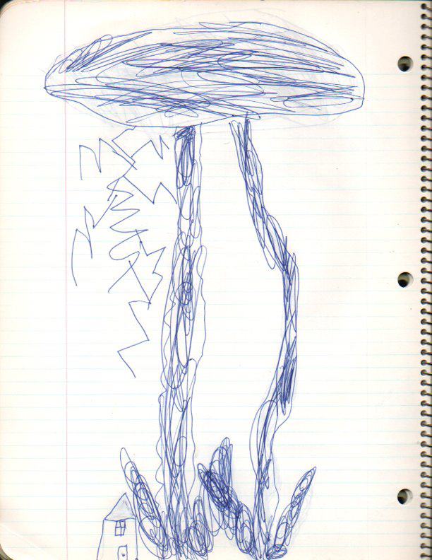
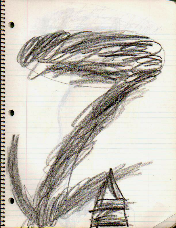
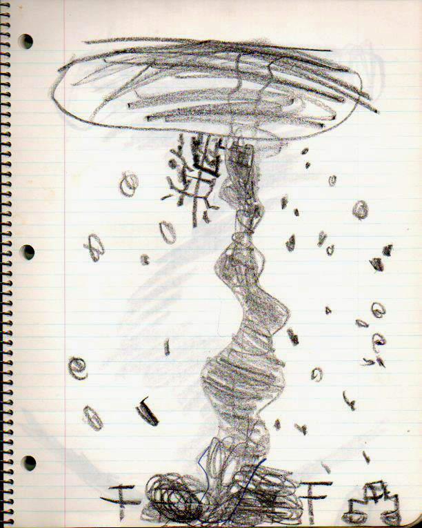
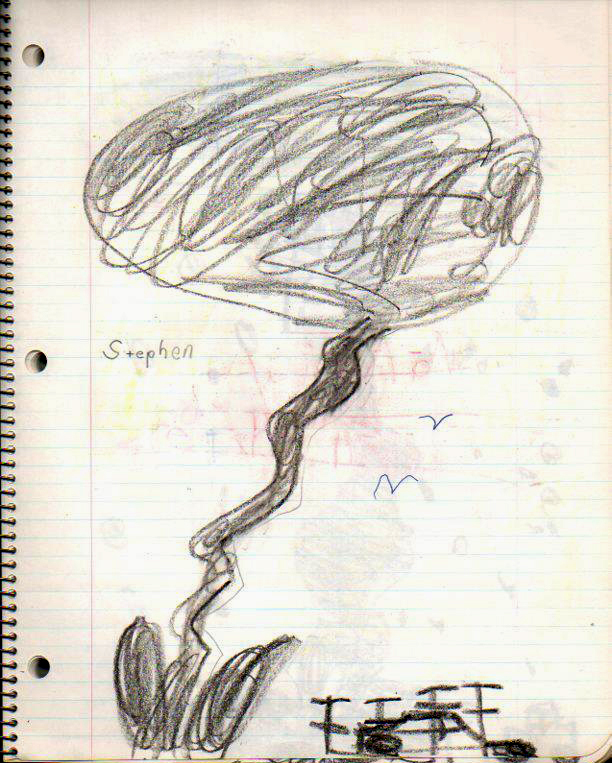
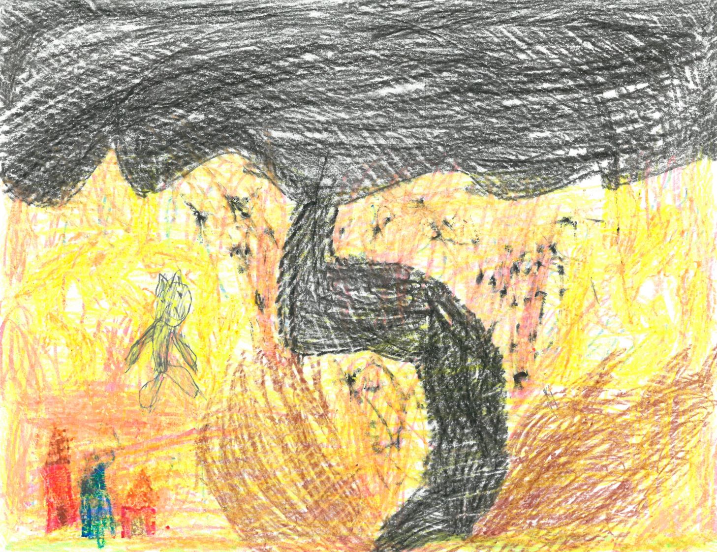
From then on, the obsession was planted. My very first storm logs consisted of page after page of hand-drawn tornadoes. A family friend who worked for the NWS sent dozens of tornado pamphlets and hours of unedited VHS tornado footage – including early chaser footage. These were the things I watched over and over as a kid. As time went on, I began taking pictures of storms that would hit our house and writing little logs about each event. These are some of the early, embarrassing entries you can find here on the site. Then finally in 2012, after 25 years of obsession, I finally had the ability and opportunity to chase storms in the plains. My interest in every facet of storm chasing, from the analytical challenge of the forecast, to the freedom of the open road, to the excitement and majesty of the storm, all point back to that west Texas spring day in 1987.