Date: May 22, 2019
Time: 4:00 - 8:30 PM CDT
Place: Orlando, Red Rock, Skadee, OK
Distance: 524 mi (301 positioning, 147 chasing, 76 to hotel)
Camera: T3i, GoPros5 & 7, Karma, Note5, Note9
Warnings: SVR, TOR
Rating: S3
Pre-Chase
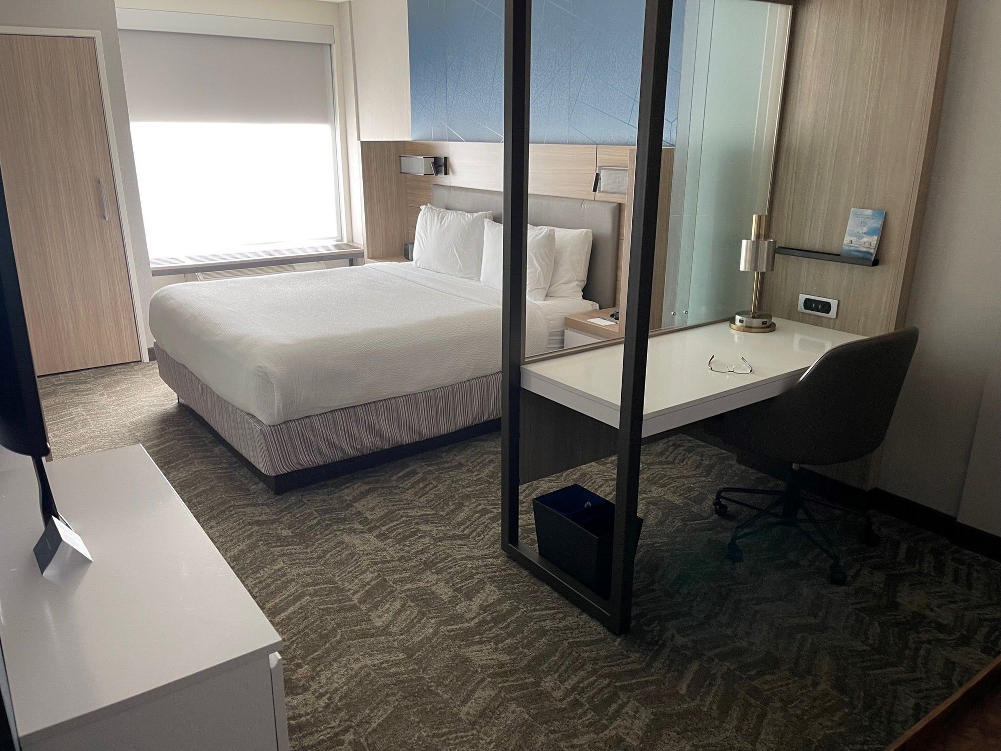
10:00 AM - 4:00 PM CDT: I love waking up late in the chase target, and I especially love when that happens at a Springhill Suites. Sneaking in a few hours of remote work with their great room setup (aka the cuck command center) is always nice. Even better, today is the 32nd anniversary of the Saragosa tornado -- the start of my obsession. I spent the morning catching up on work emails while Toni lounged and picked up some Golden Chick for lunch (first time trying it, actually on par with Raising Cane's).
Today's setup is one of those weird middle-of-the-event days where the atmosphere is reloading with a new low digging into the western states but the central plains are caught in limbo. There's flow, but there's also height rises. There's scoured moisture from previous days, but also rich return flow. Would SW Oklahoma offer more discrete storms or do we bet on the more evident initiation in the jungles of NE OK? I never know what to expect on days like this.
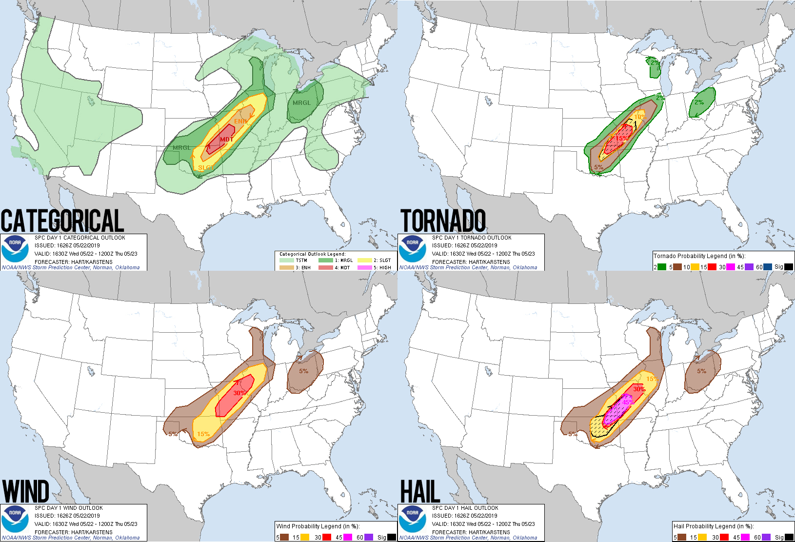
But the SPC saw good potential -- upgrading the 1630z outlook to Medium risk. After a late checkout, we watched T-38 trainers perform touch-and-go's at Vance Air Force Base until 4:01PM, when a growing storm caught our attention and went severe warned. Chase time!
The Chase
4:00 - 6:15 PM CDT: The compact supercell to our SSE was centered between Kingfisher and Cimarron City, heading northeast. That meant we needed to carefully aim our intercept route -- too far south and we'd immediately fall behind, too far east and we'd hit the core. Dodging turtle after turtle on the backroads east of Waukomis, we soon had our first view of the updraft and anvil. Definitely a small storm. My optimistic side said the LP structure would be amazing while the pessimistic side knew the storm was struggling. But at 4:38PM, pessimism took a back seat as NWS Norman issued a radar indicated tornado warning!!
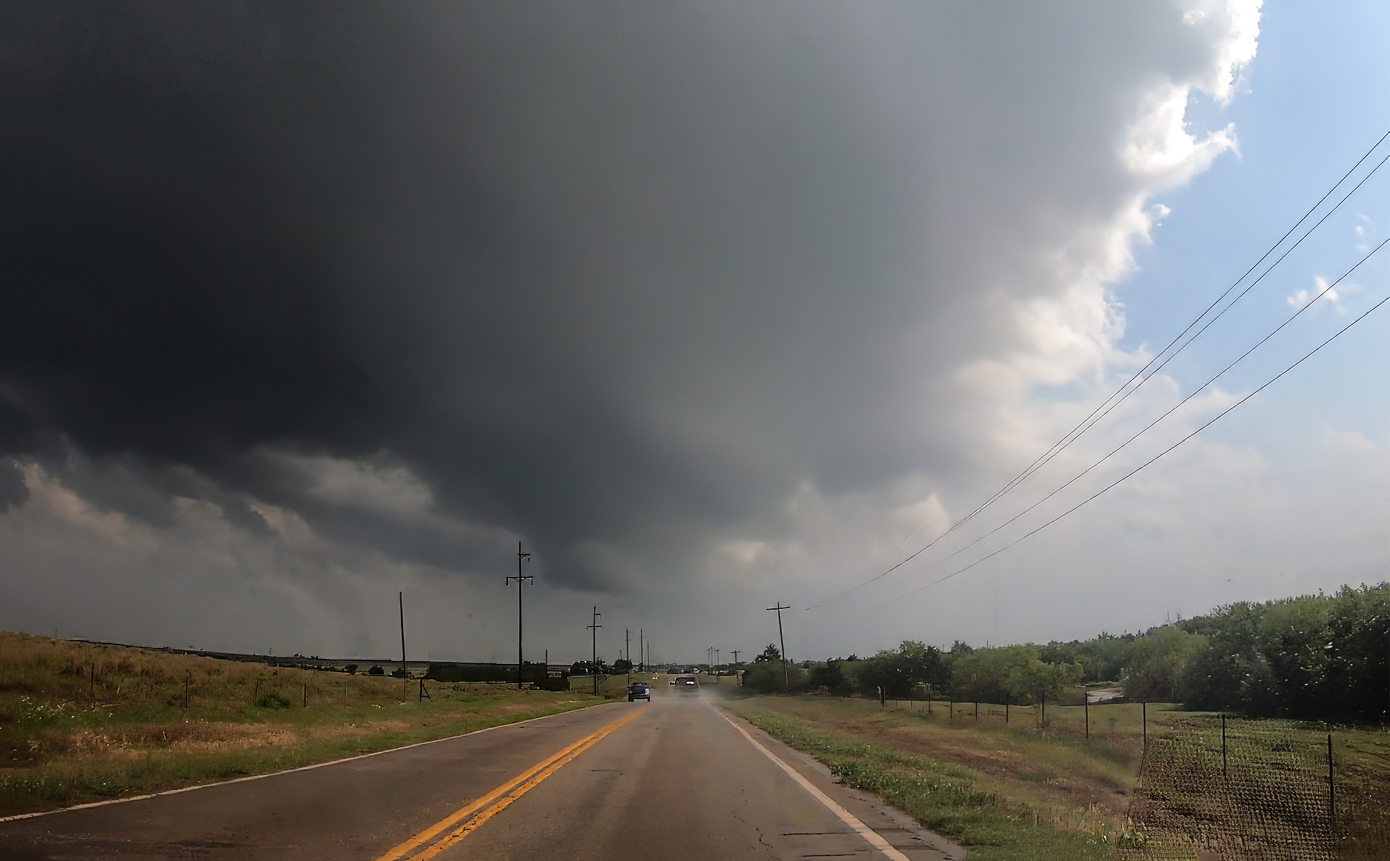
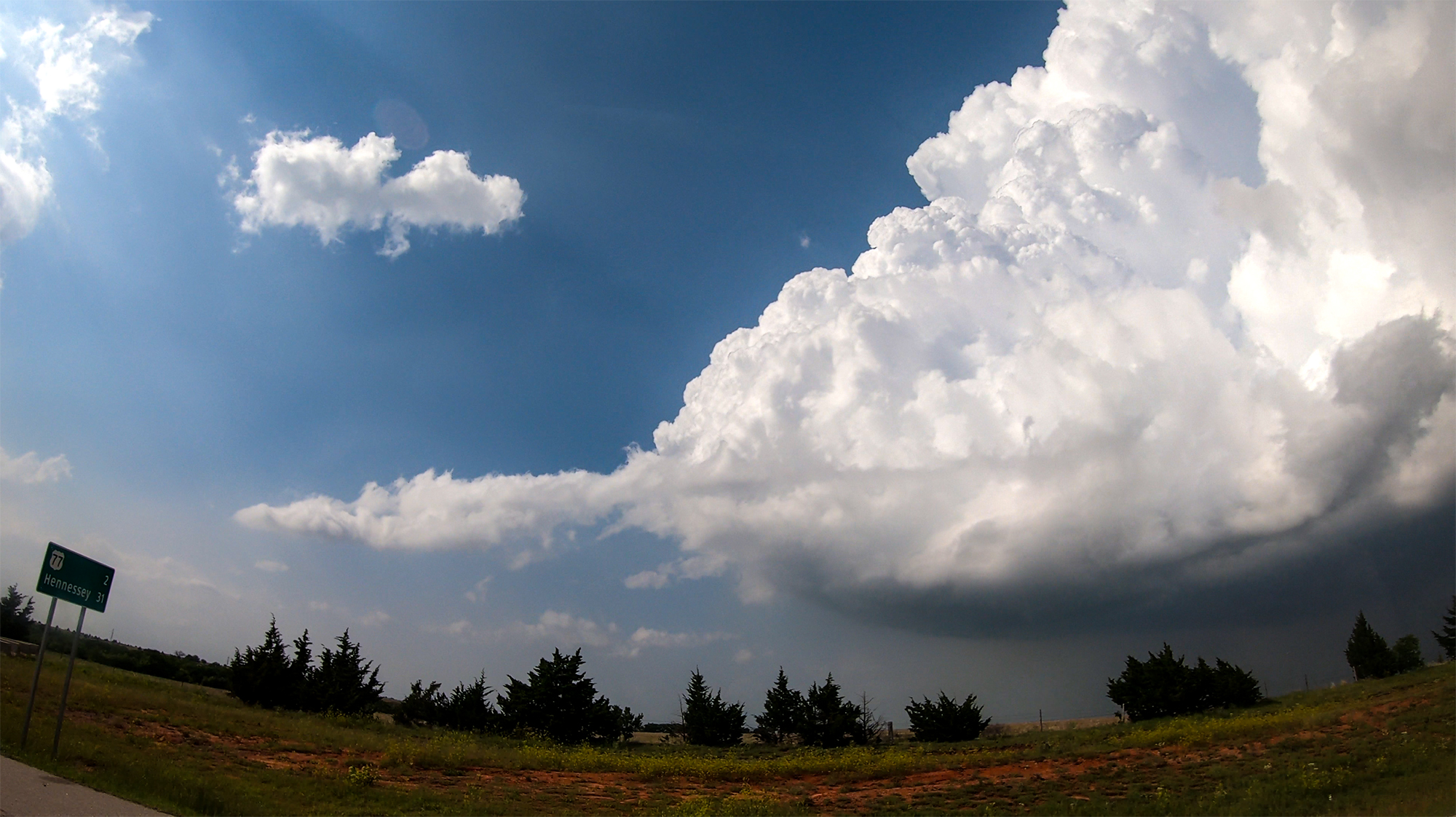
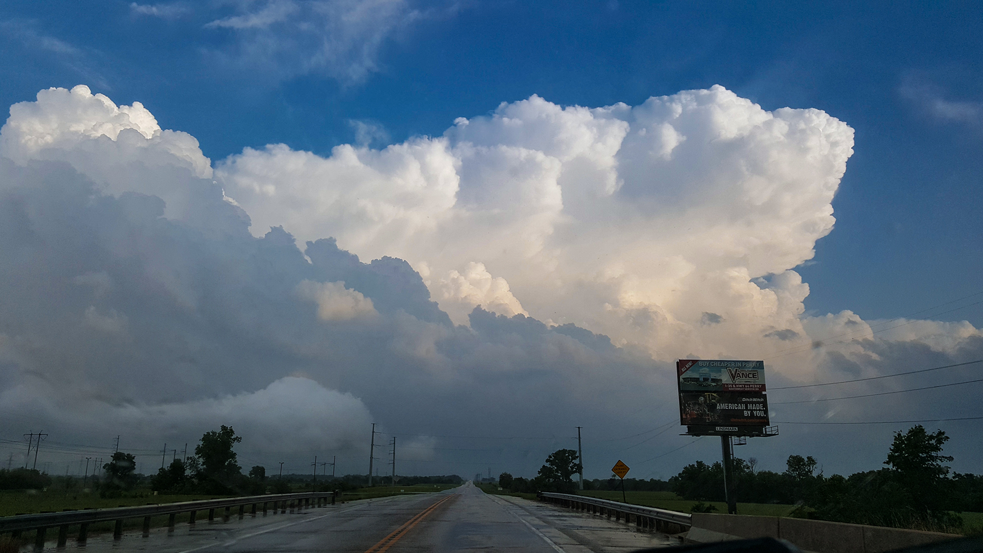
We cut south on Hwy77 into Orlando for the intercept. The hook was just ahead, and we could see through the precip to a stubby little wallcloud. Not the epic LP tornado I'd wished for. We swung under and around the meso, now heading east towards Stillwater. The cauliflower updraft column was a neat sight juxtaposed against the otherwise deep blue skies. There was even a hint of a weak RFD arc bowing out on the south side. But as we continued towards Stillwater, it was clear the storm was quickly fizzling.
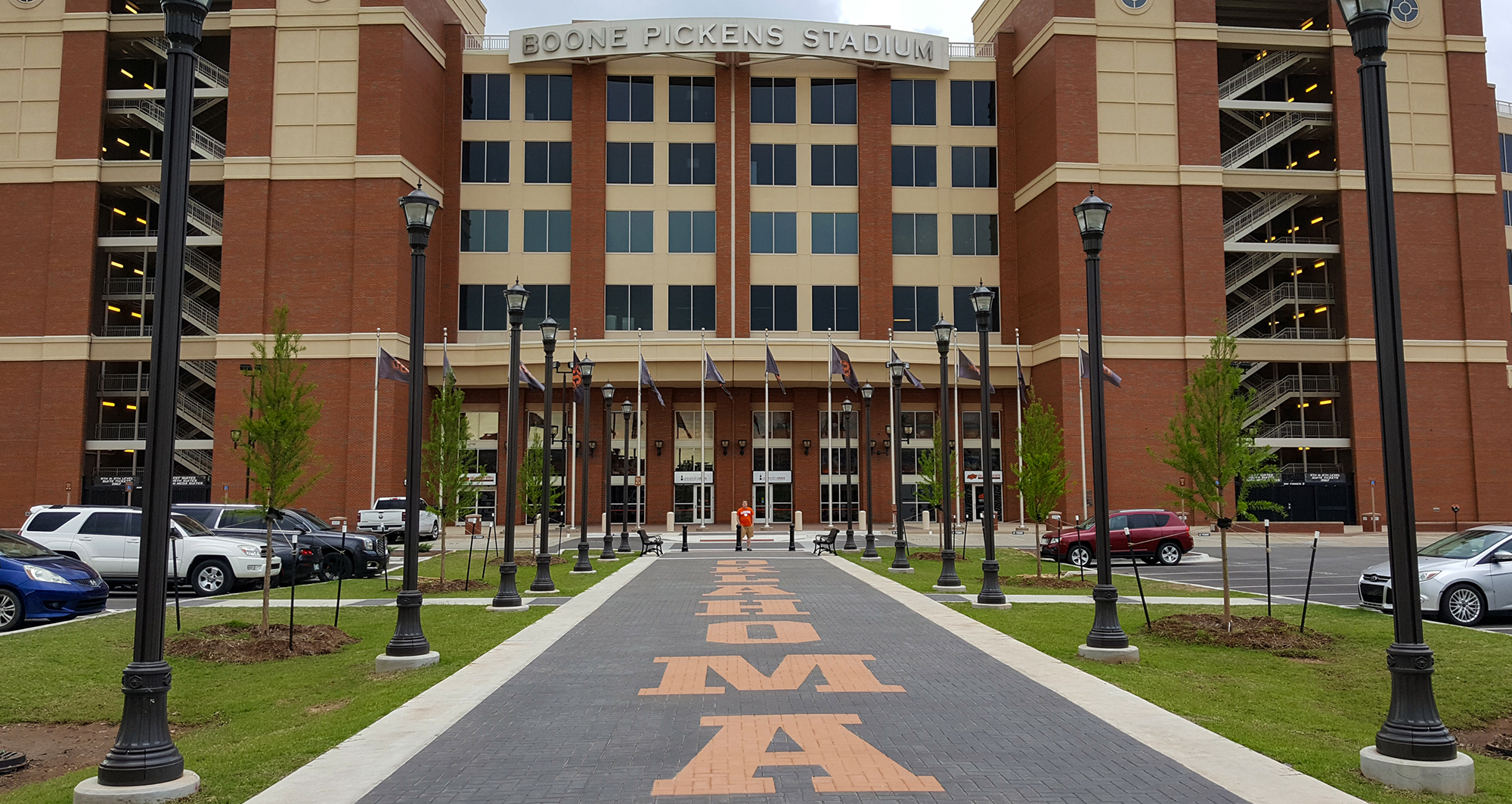
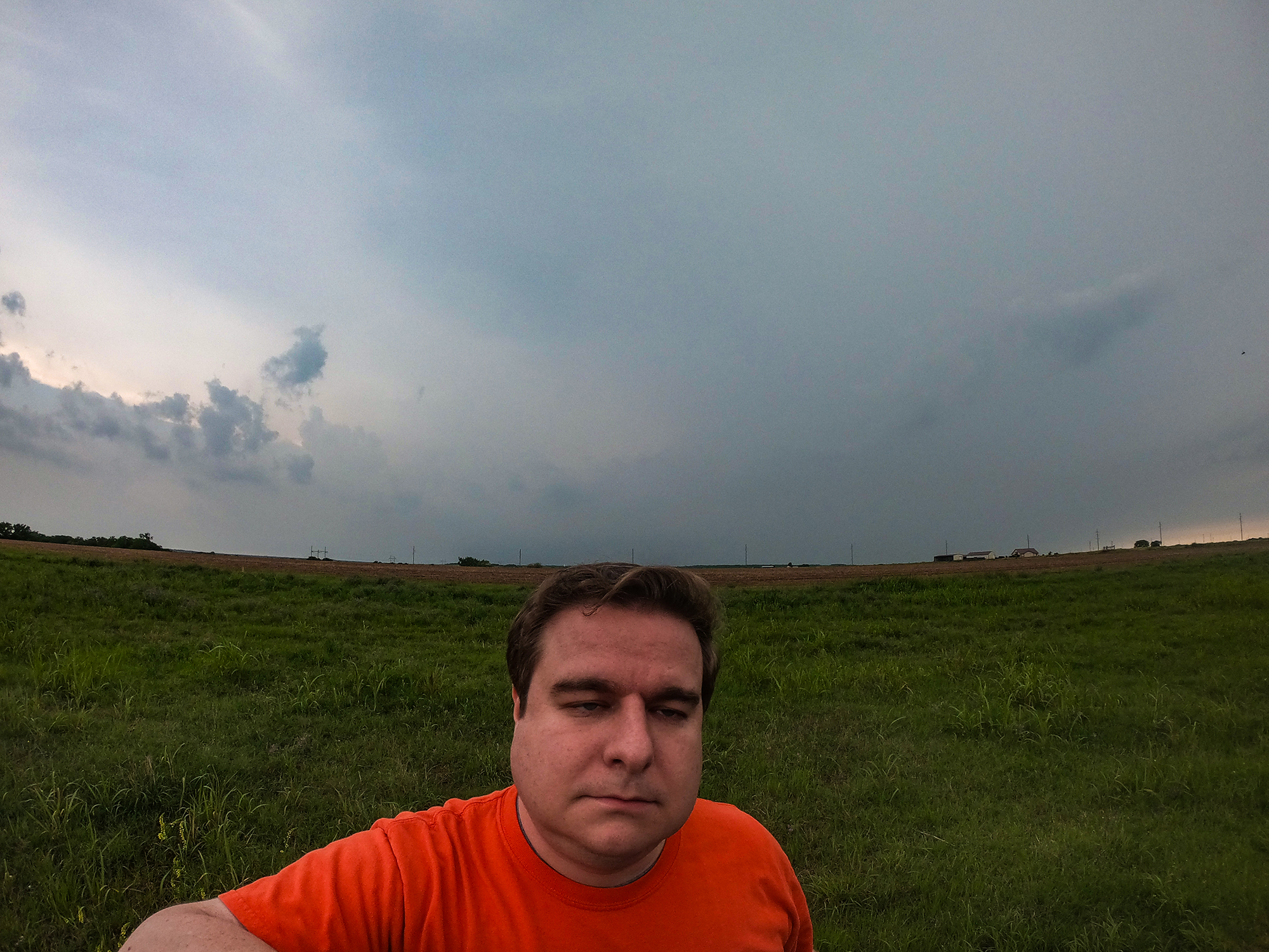
East of I-35, the plains quickly transition into jungle. And here in Stillwater (to date, tied for the furthest east we've ever chased), there was no immediate need to plunge even further into to the trees. Instead, we spent some time driving around the Oklahoma State University campus. Camouflaged in my Clemson shirt, I safely blended in to the OSU Cowboy orange as we walked around the stadium. But by 5:40PM, new storms were maturing to our WSW. We rolled north of town to get downstream.
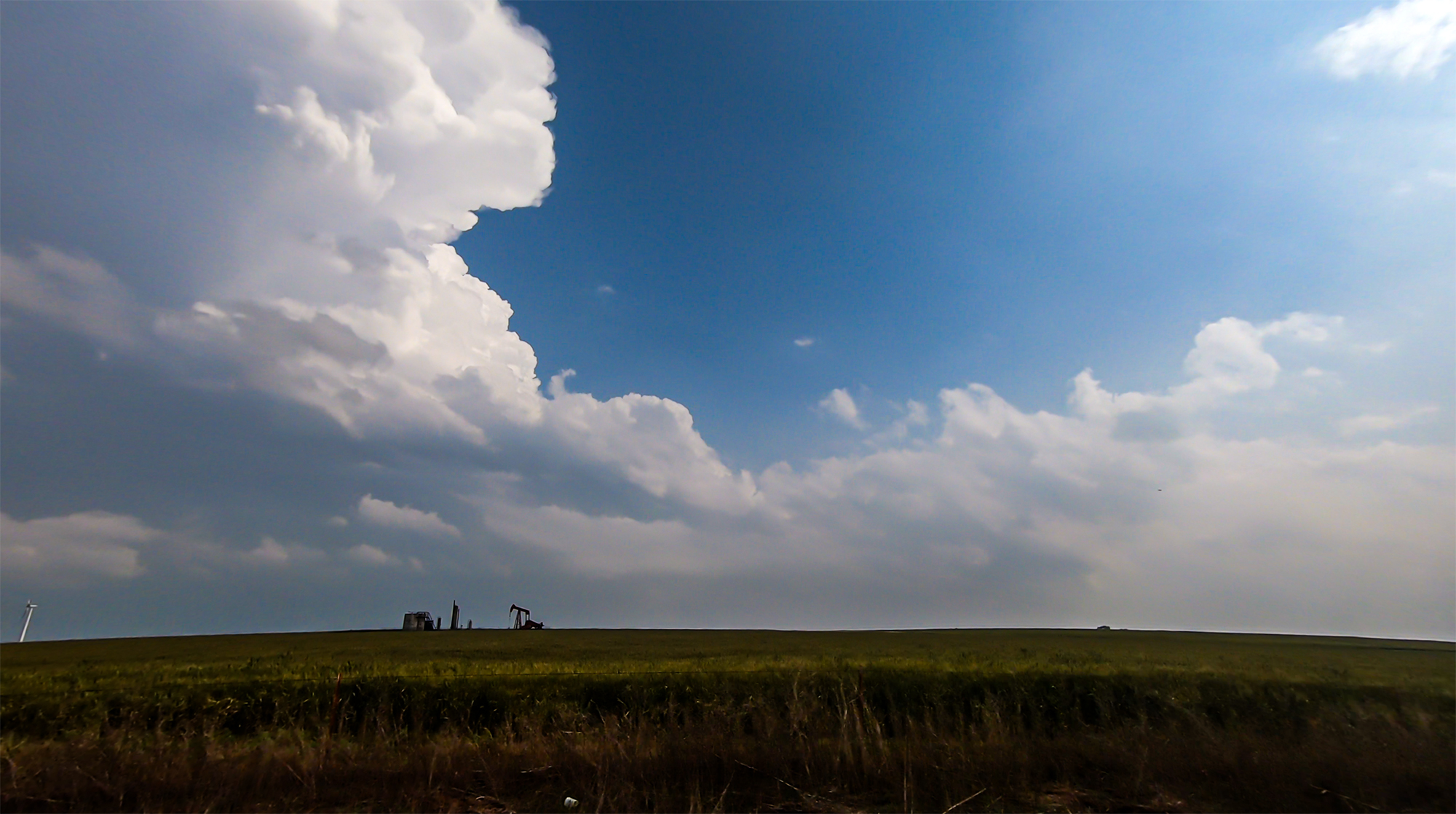
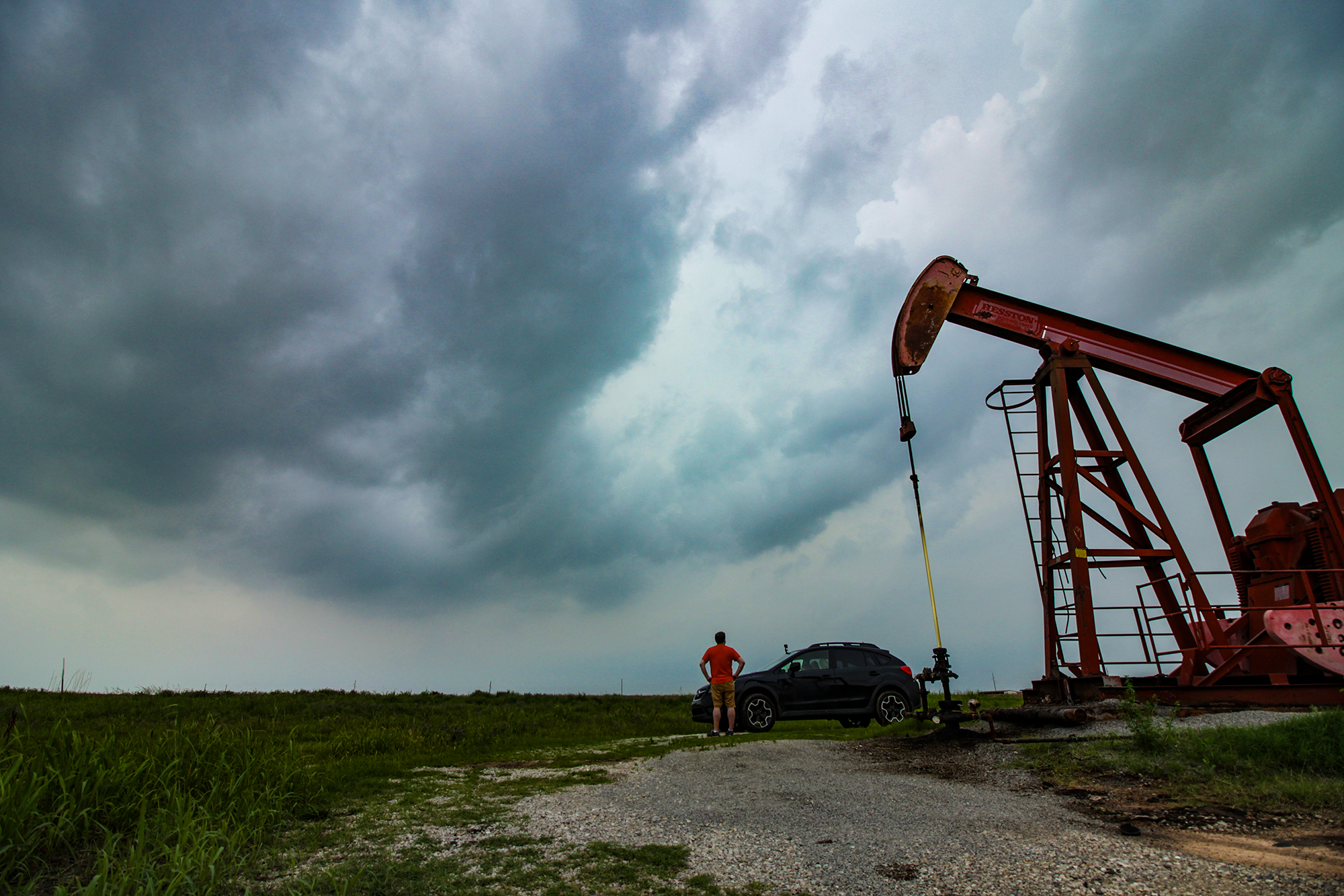
6:15 - 6:55 PM CDT: Google maps began showing road closures in our area as we pushed into the region most impacted by previous days' storms. We'd need to be very careful with these next intercepts. Pulling off near the Hwy64/177, an oil pumpjack providing some nice timelapse foreground motion, we awaited arrival of the growing storms. Unfortunately, as rich moisture continued to surge northwest, the crisp blue skies from an hour ago were replaced with soggy overcast. Not the most interesting for photography.
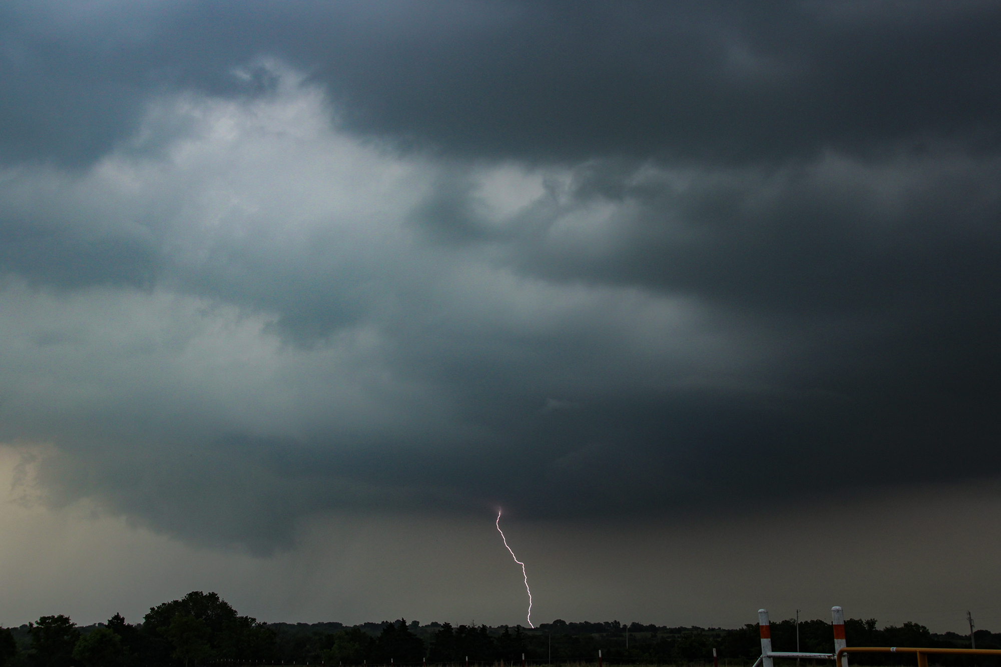
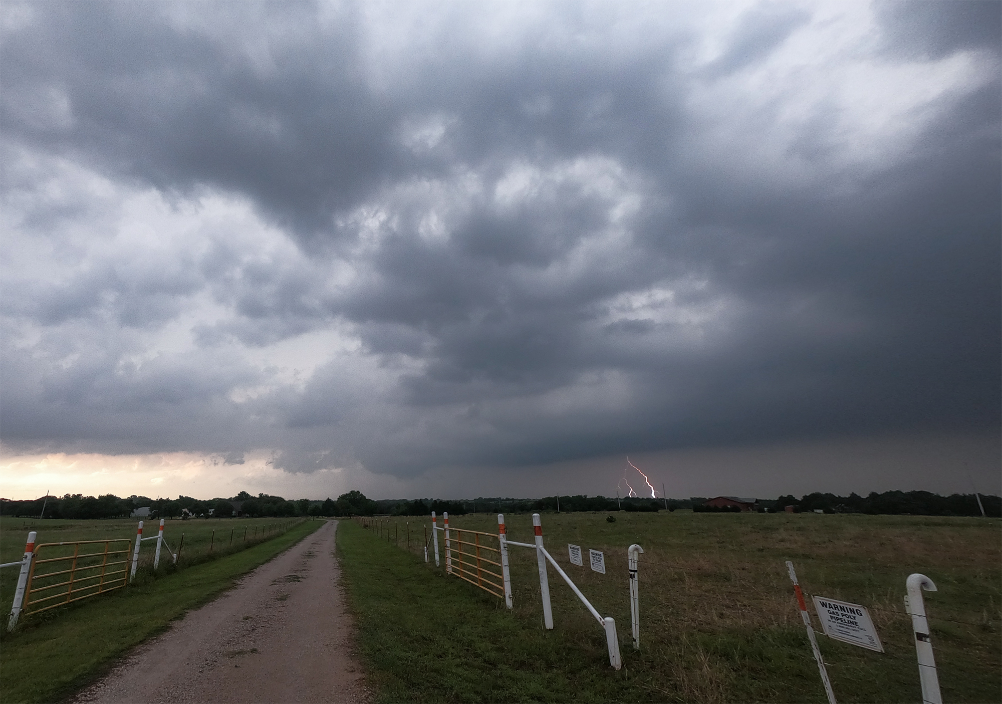
There were actually a pair of supercells organizing to our west, and the lead storm would cross a little to our north. Carefully minding the road closures, by 6:40PM we crept west on Hwy64 to a spot just a few miles south of the hook. And behold! We had eyes on yet another stubby little wallcloud on yet another compact and struggling supercell. Nevertheless, I deployed the timelapse cameras and got a few bolts as the wallcloud glided away to the northeast. Time to turn our attention to the bigger cell still to our west.
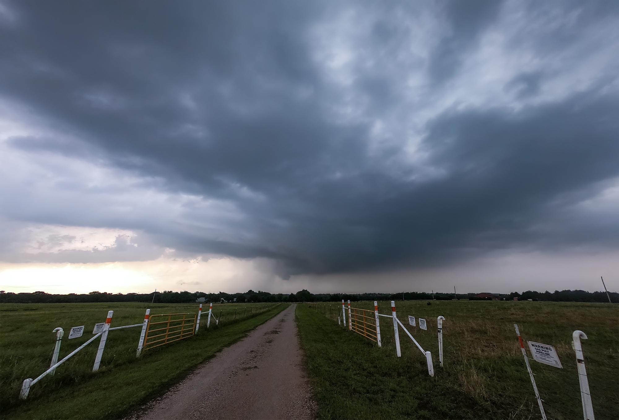
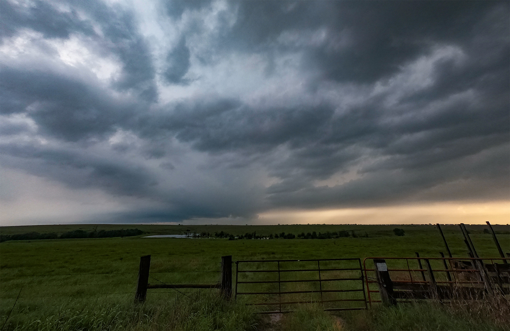
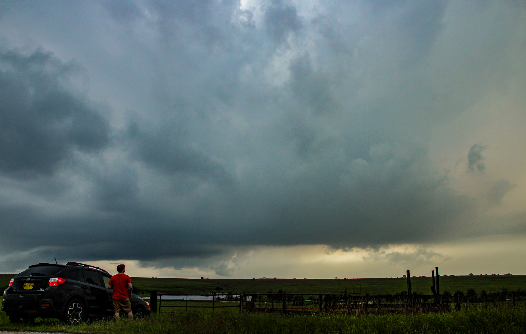
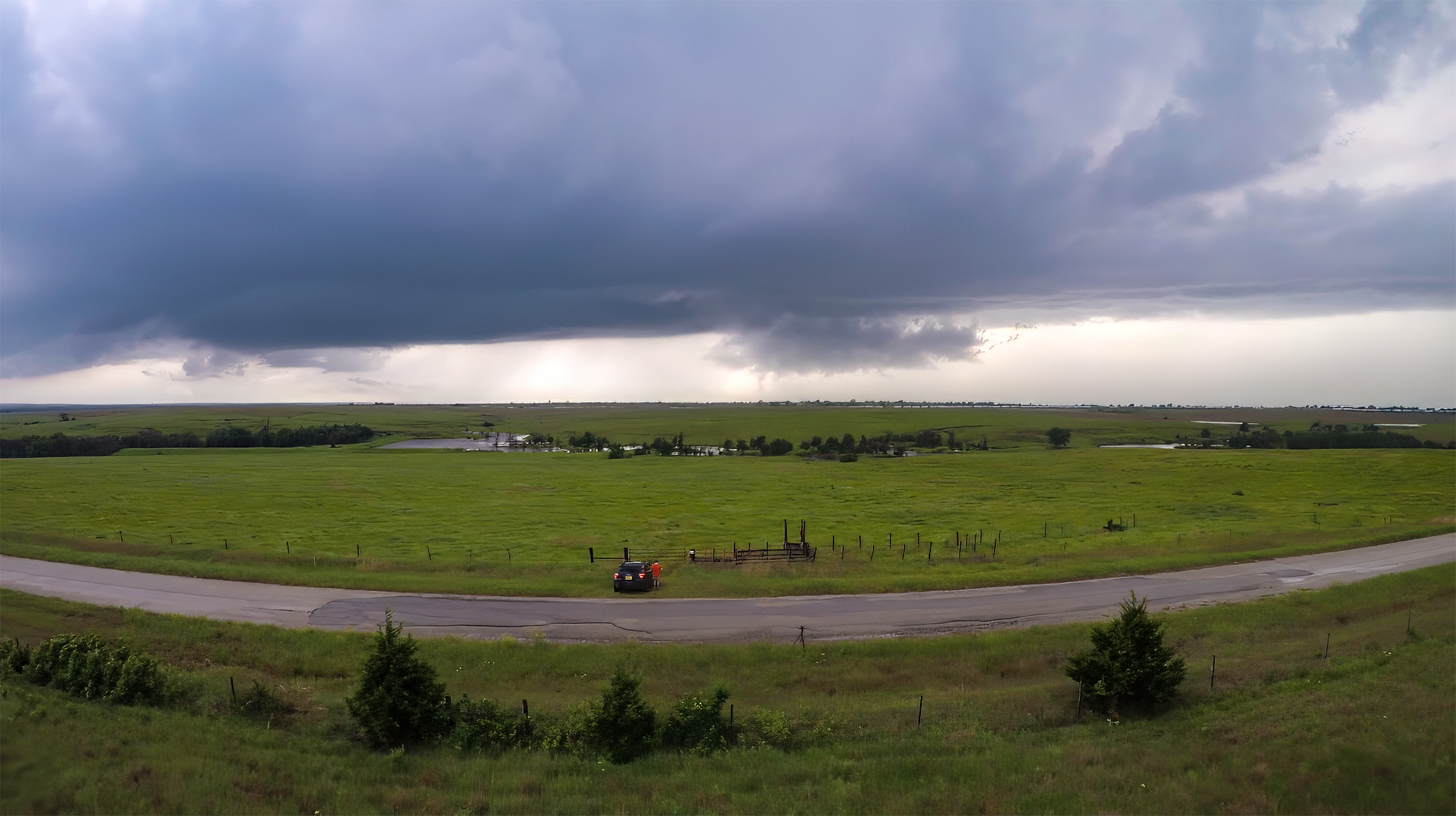
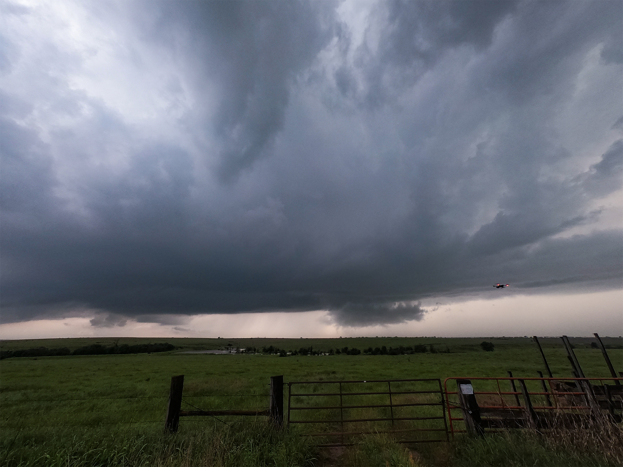
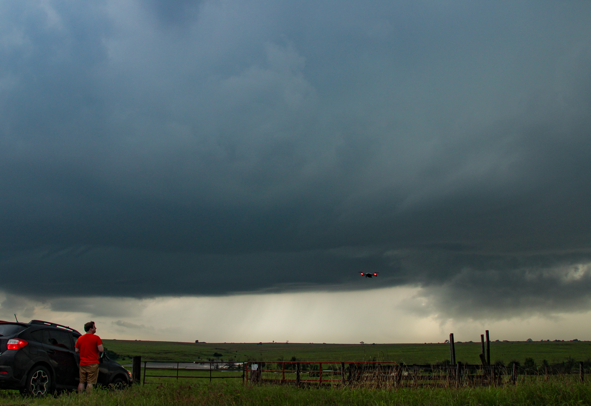
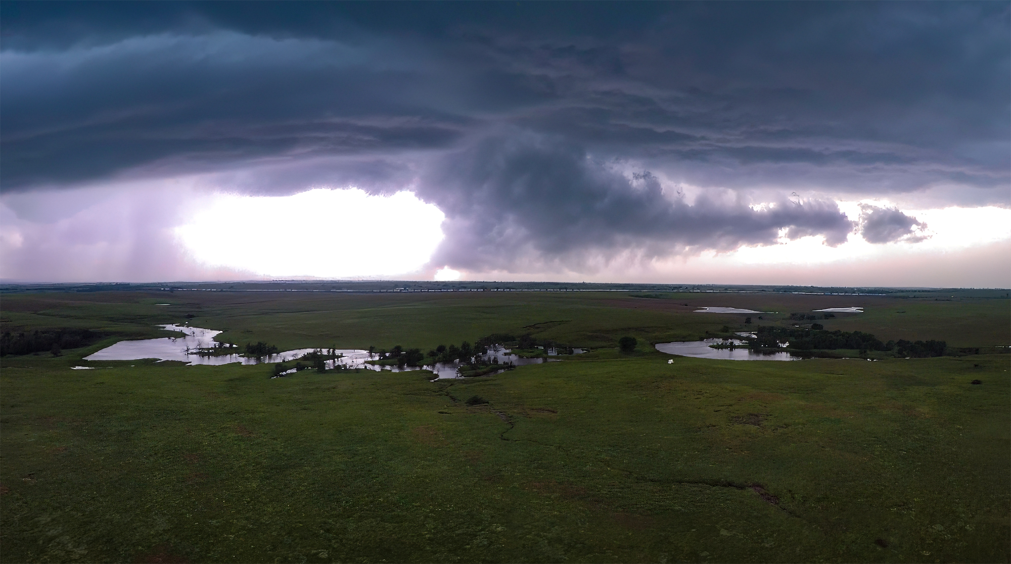
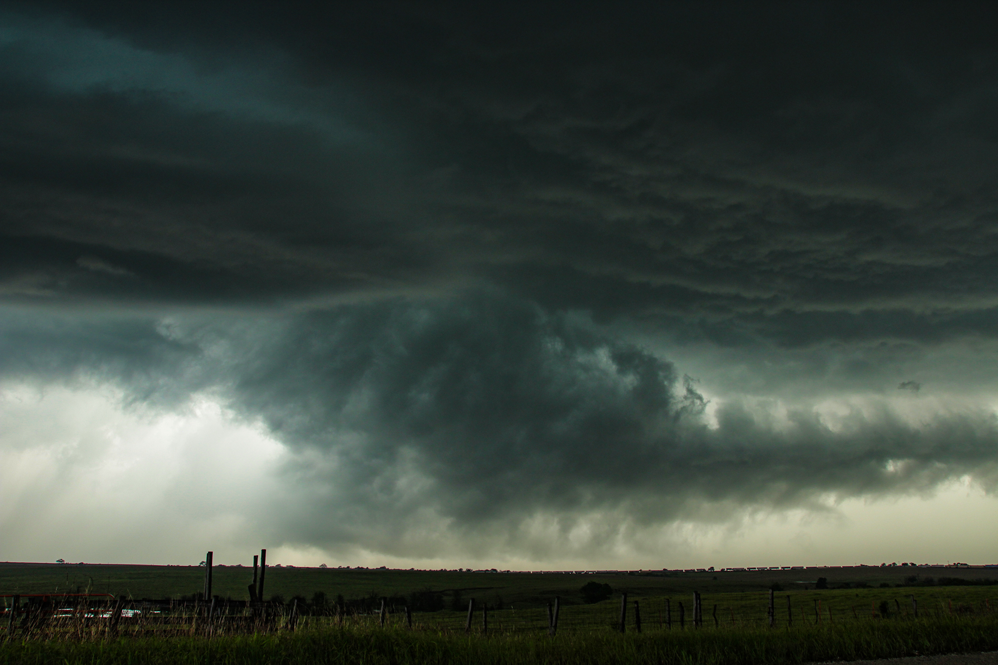
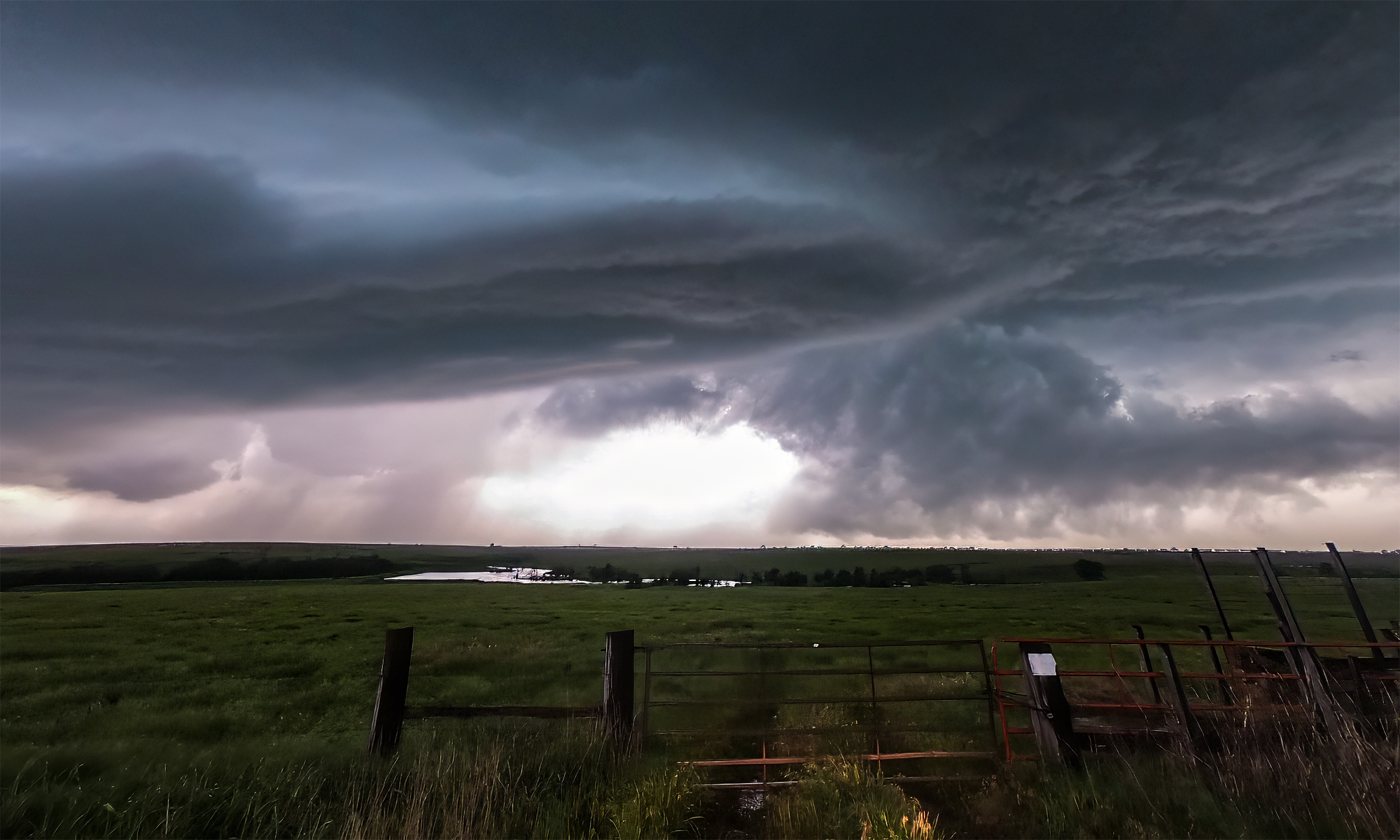
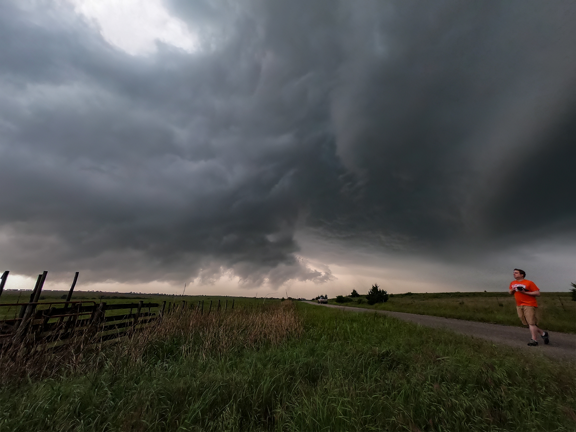
6:55 - 8:30 PM CDT: The western cell was actually a pair of competing mesocyclones, their combined core by far the largest of the day. Minding the flooded road conditions, we tentatively moved north on Hwy170 towards Red Rock -- directly in line with the hook 8 miles to the WSW. If needed, this move allowed a southern escape on already-tested roads. Breathing easier, what followed was the kind of intercept I love: 30 uninterrupted minutes to timelapse and fly the drone. The supercell base appeared on the western horizon with two competing lowerings (likely associated with the dual mesos). As they approached, both mesos traded dominance as one would briefly strengthen and lower before surging out and giving way to the other. But honestly, neither ever look imminently tornadic.
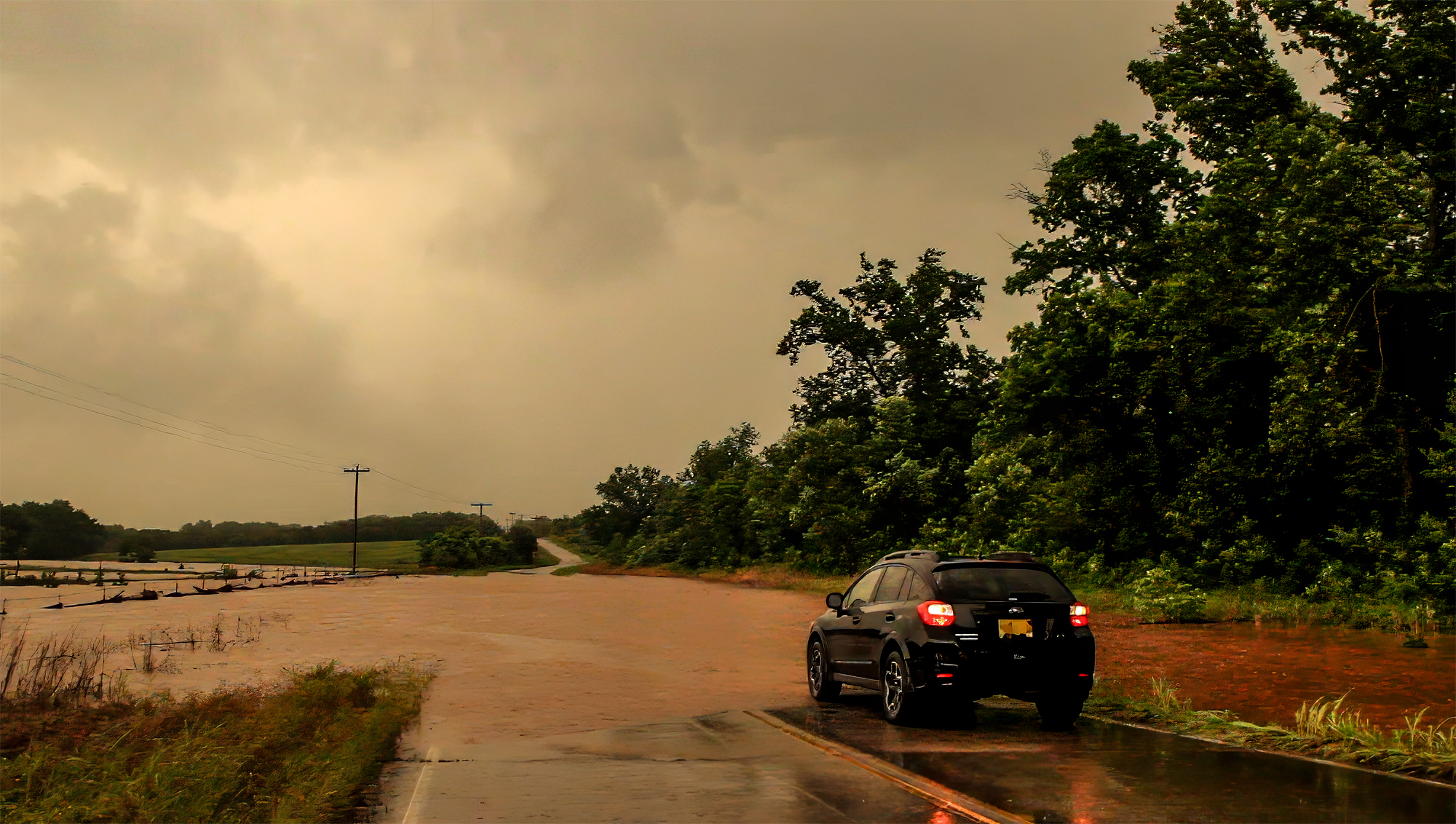
By 7:30, the hook was overhead; we needed to pursue north then east to keep up. For once, I purposely dallied a little too long, not wishing to chase ahead of a circulation with blind, flooded roads ahead. East of Red Rock was a standard low-visibility slog behind the hook. And honestly, I was ready to call the chase. But then a new cell growing on the southeastern flank suddenly went TOR WARNED. We were in just the right position that an intercept was feasible, and so we blasted towards the tiny town of Skadee, OK. But about 3 miles east of town, about a mile behind the circulation, flooding finally impacted our chase. In the lowlands near the Arkansas River, we'd barreled into some of the worst flood zones. Water completely cover E4400 Rd. There was no path north, east, or south. A possible tornado was tantalizingly close, but just out of reach.
I filmed the flooded roads in the fading brown twilight. Then we cautiously wheeled 76 miles back to Enid for the night. Our reward was another stay at the Springhill Suites and a Papa John's delivery. That and our safe return a decent reward for what was certainly a dangerous chase.
Recap, Filmmaking Notes, and Lessons Learned
- Plenty of tornado warnings and touchdowns across eastern Oklahoma and Missouri, but the EF1 Okemah/Okmulgee tornado family was the catch of the day. Adding some bitter irony, a pair of EF3s hit near Joplin -- on the 8th anniversary of the famous EF5.
- More impactful than the tornadoes was the prolonged flooding event, with training thunderstorms over northeast OK and southwest MO bringing multiple days of 6-10in rainfall. Becoming a meme for the event, a pair of barges on the Arkansas river broke loose and rammed the Webbers Falls dam. Thankfully the dam held.
- No escape route was dependable today thanks to multiple flooded roads -- including major highways. We did a pretty good job maintaining safe positions, either allowing escape back the way we just came, or by staying out of the direct path entirely.
- For the narration on today's video, I initially reached out to some random Youtuber's with great Daniel Plainview impressions. When that failed, I stumbled on the site Voice123.com, where I put out a simple project description and got a surprisingly rich set of voice proposals. It was really fun and different teaming up with David Markus on this, and I felt weird and excited having a professional voice actor do such an amazing job on my dumb little video.