Date: May 6, 2009
Time: 4:00 P.M.
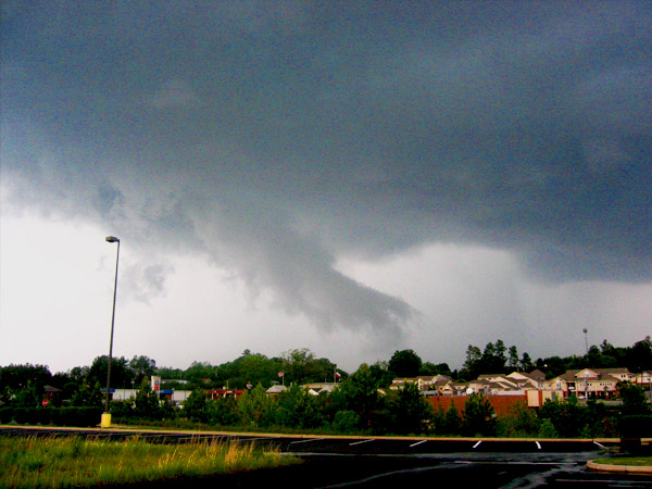
Place: Anderson, SC
Camera: Pannasonic DVCam and Canon PowerShot
Warnings: Severe Thunderstorm Warning
Rating: S3
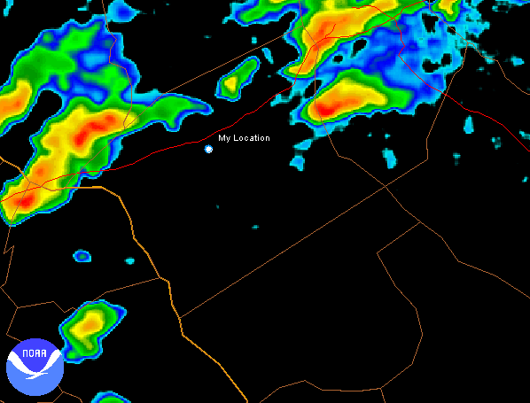
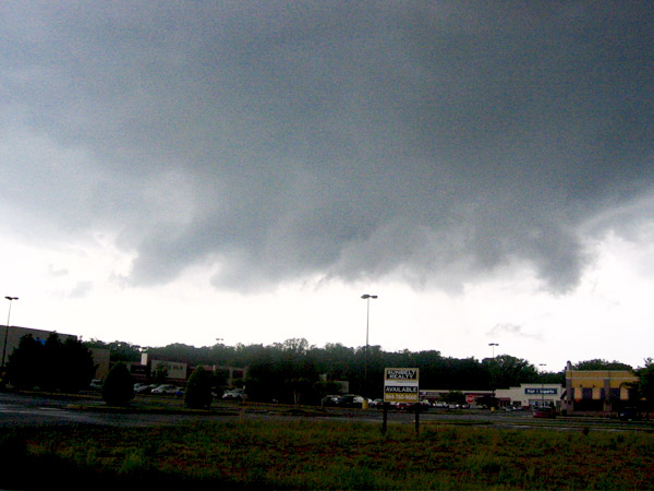
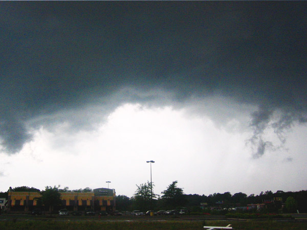
Today offered a pretty decent set-up for severe storms, at least for South Carolina. They began firing mid-afternoon, and I decided to take the camera and laptop (with GRLevel3!!) out and see what was up. I was kinda discouraged initially, as the storms were moving northeast a little too quickly. But thanks to the constant radar updates, I was able to spot a good looking cell, get in position, and let it come to me. The time-lapse shows the storm's approach, looking at the southwest corner in case it started rotating. I actually believe it was trying to form a weak mesocyclone, (both the time lapse and the radar seem to agree) but it just never could hold it together. Still, it was a very unique looking storm, and one of my favorite time lapse videos.