Date: April 10, 2009
Time: 7:45 P.M.
Place: Anderson, SC
Camera: Panasonic DVCam and Canon Powershot
Warnings: Tornado Warning
Rating: S5
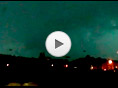
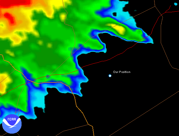
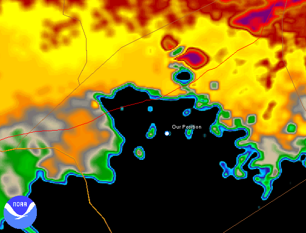
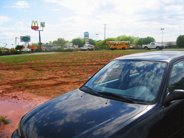
What a day. Storms started off in central Tennessee. The tornado of the day, an EF4, passed within a couple miles of my brother in Murfreesburo TN! So needless to say, I was very excited as the storms made their way east towards South Carolina. Around 6PM, supercells started firing in northern GA and headed our way. I watched the radar as they approached. One cell with a very nice hook was headed straight at Anderson! I let it get as close as possible, then Toni and I drove south to get just below the hook. We didn't have radar in the car, so I had to guess where the hook would pass. As the storm made its final approach, we got an awesome look at the immense main updraft. There was incredible upward motion. Even though it was getting dark, we also got a brief look at the wall cloud that put down an EF1 tornado just a couple miles to our southeast (obviously, I hadn't driven far enough south)!! As the storm moved over, very strong straight line winds knocked down power lines across the road just to our north. We ended up getting diverted into mud and got stuck! A tornado just south of us, damaging winds north of us, and an offroad misadventure. Good storm chase.