Date: June 13, 2016
Time: 12:00 - 7:30 PM MDT
Place: Douglas, WY and Ft. Morgan, Akron, CO
Distance: 588 mi (113 positioning, 334 chasing, 141 to hotel)
Camera: T3i, GoPro3 Black, Sony RX100ii
Warnings: SVR
Rating: S3
The Chase
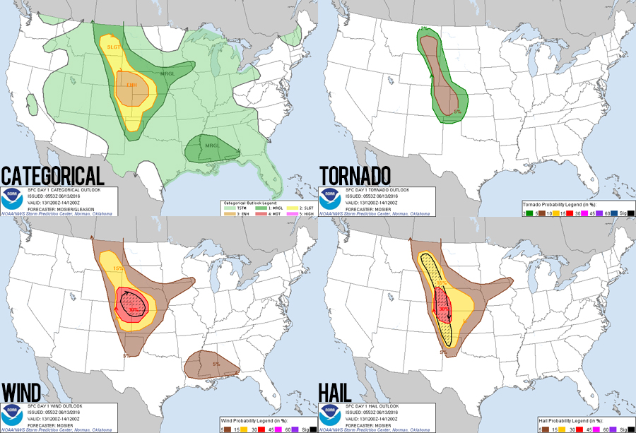
9:42 AM MDT: After a storm-free day yesterday that allowed us to visit the Badlands and Devil's Tower, today we are again starting out from Gillette, WY - this time targeting SE Wyoming. The setup looks like a classic upslope supercell day all across the high plains. A large 500mb trough centered over the four corners will eject a shortwave out over Colorado, spreading 30-40 kt shear atop SE surface flow and high-50s dew points - a great combination of general ingredients for this portion of the plains. Now we just need to get lucky and find that one cell that's gonna go nuts of produce another Simla, CO type event!
10:00 AM MDT: Had to make a quick pit stop already - one of the tires was REALLY low. No sign that it picked up a nail, so I pumped it back up and we'll watch in closely.
11:42 AM MDT: We've made our way down to Douglas, WY - the northern extent of my broad target today. Not surprisingly, it looks like we already have initiation over the Laramie Mountains to the WSW of town. We'll gas up here and see how things develop.
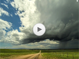
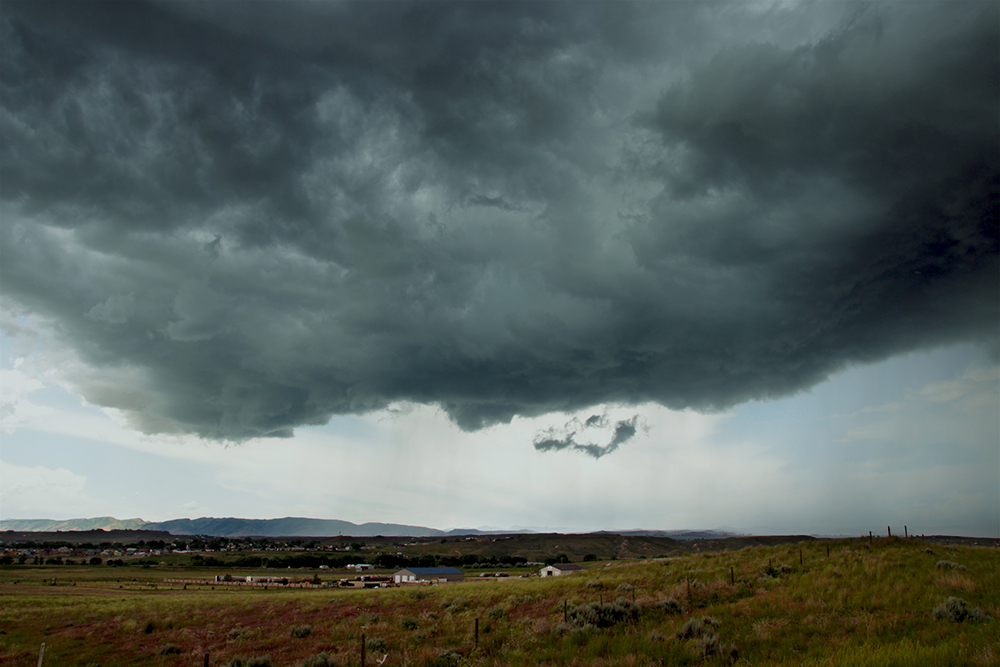
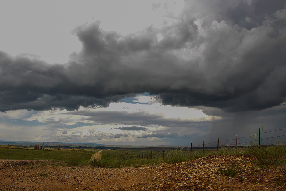
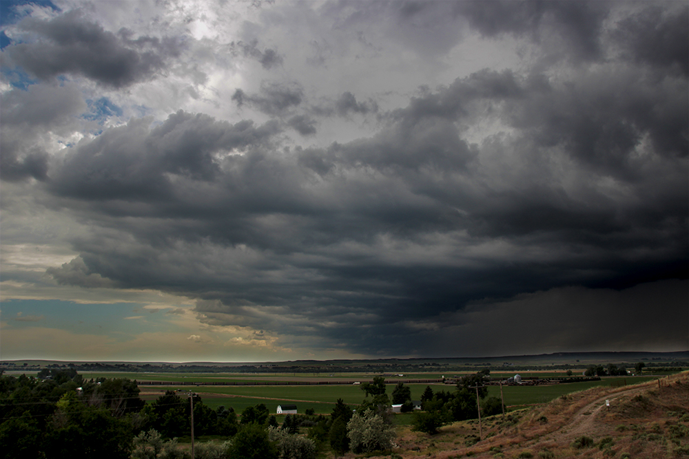
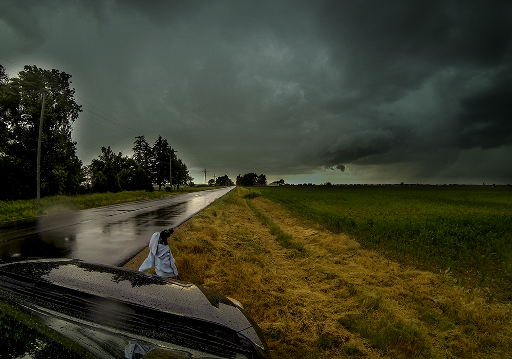
12:04 PM MDT: Well what do you know? We've got a nice little storm blowing up over the mountains and heading straight at us. We repositioned to the north side of Douglas for a better view. Rain shafts are just starting to darken the north side of the updraft base. I'd be a fool not to get some of this gorgeous scenery in timelapse. A new MCD just went out a few minutes ago as well!
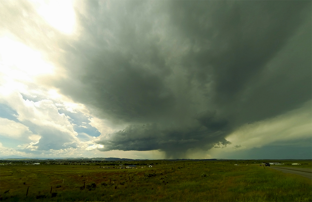
12:32 PM MDT: The compact updraft base has been folded in half by an RFD punch - a stunning process to watch, even if the base is still way too high for tornadogenesis. RFD precip is almost here, so we gotta head east.
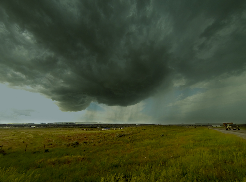
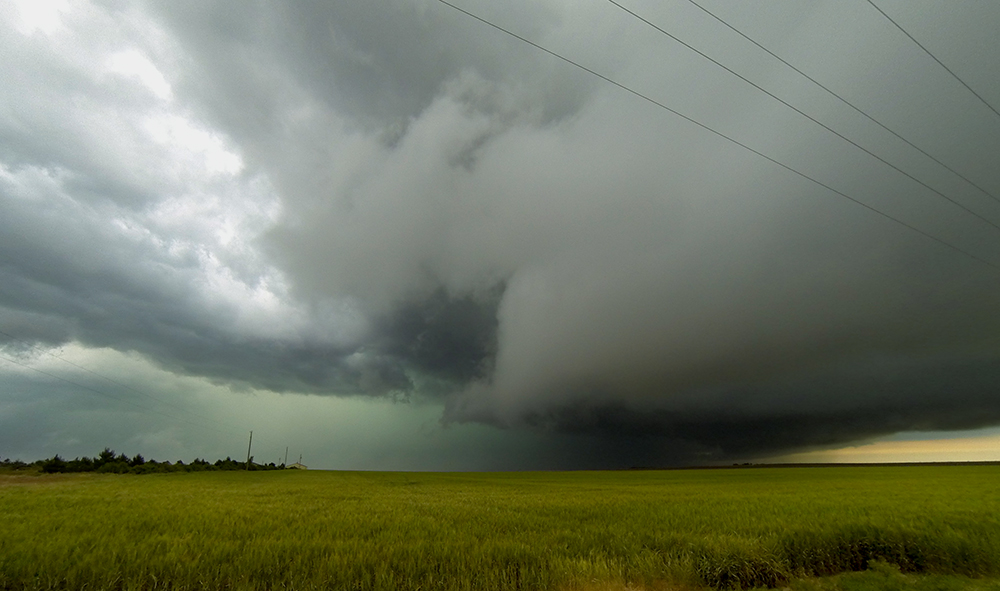
1:14 PM MDT: The updraft now looks like a backward comma as the RFD wraps up on the north end and leaves a trailing line of bubbling cumulus to the SW. So fun to see all this happening overhead above this beautiful Wyoming prairie.
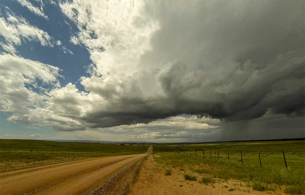
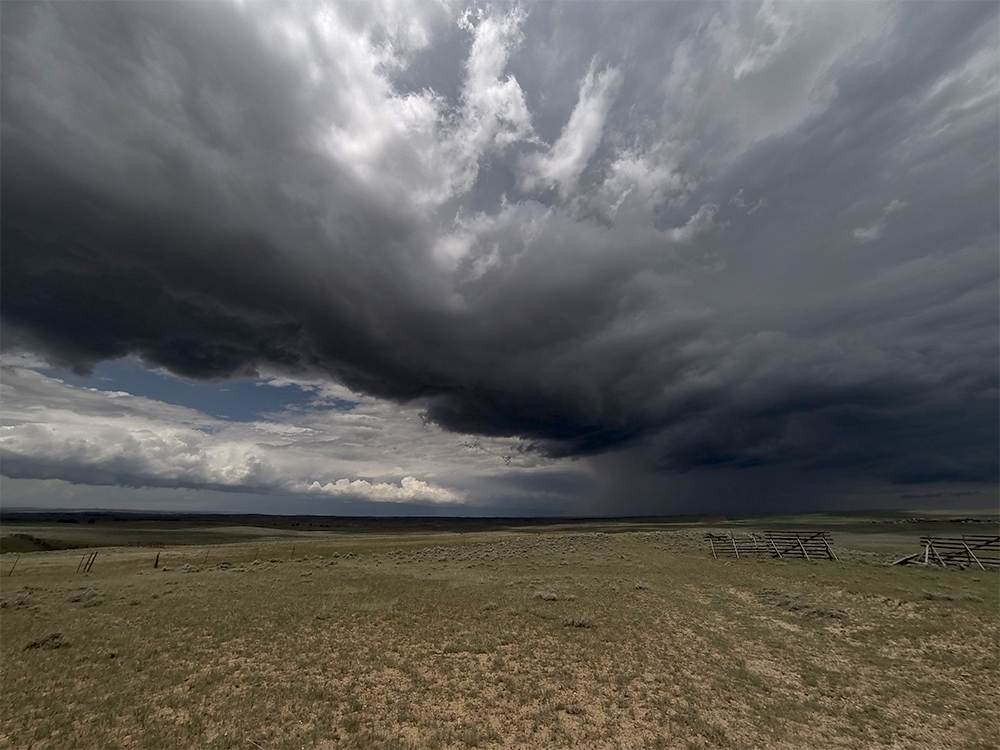
1:52 PM MDT: First storm is dying. We've been drifting east with it for the last 2 hours in some sparse Wyoming landscape. Now I'm watching a new cell to our south, but it's gonna take some work to get there - blasting east to Lusk and then south on Hwy 85.
3:05 PM MDT: Ugh, well that didn't work out very well. Hwy 85 south of Lusk went into a little river valley for most of its length - meaning no cell service and no visibility to the west for about 40 minutes. We're in Lingle, WY now, with cell service but no storm. Our target storm fizzled over the last hour.
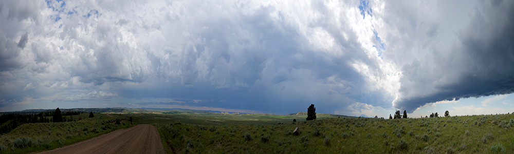
3:21 PM MDT: Not sure how to salvage the rest of this chase day - nothing remotely nearby has any potential anymore. It's so early though - maybe we should drop into Colorado for some DVCZ action. There is a tornado watch over all of eastern Colorado.
3:55 PM MDT: Colorado it is! Gassing up in Torrington for the long drive south.
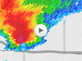
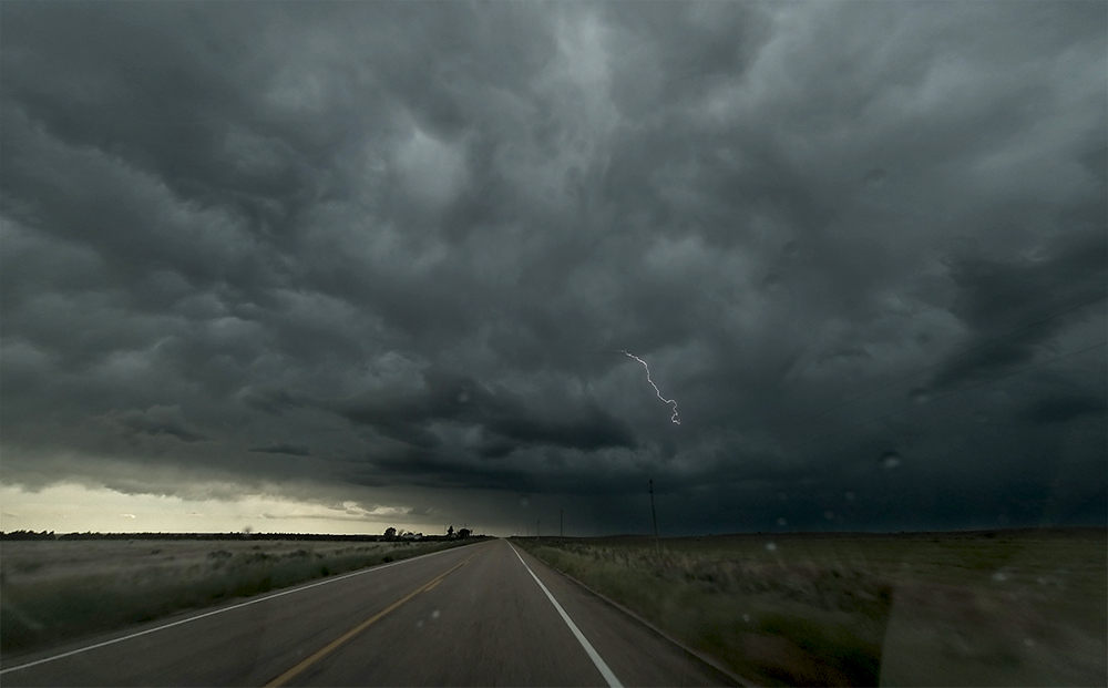
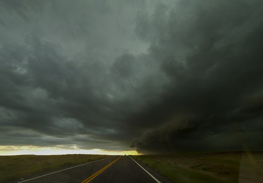
5:27 PM MDT: It's been a long haul, but maybe this will pay off. A cell coming out of the Denver area just got TOR warned as it approaches Ft. Morgan, CO. We are currently about 35 miles due north of it, heading east so we can cut south ahead of it. Maybe we can get there in time.
5:59 PM MDT: I played it safe and dropped south on Hwy 71 instead of 52 (about 10 miles further east). Should have a view of the base in the next couple minutes.
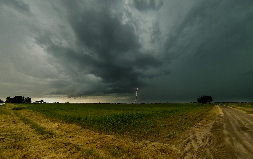
6:10 PM MDT: Well dang, instead of a tornado a wall cloud, we were greeted by the arcing bulge of fresh outflow. We got here too late and the storm is gusting out.
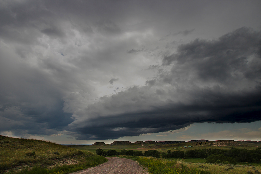
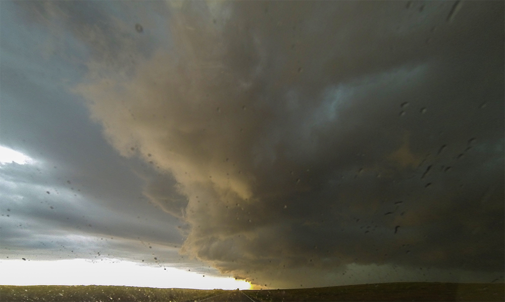
6:43 PM MDT: Tornado threat is definitely over for this storm, but it's evolving into quite a potent little micro-MCS.
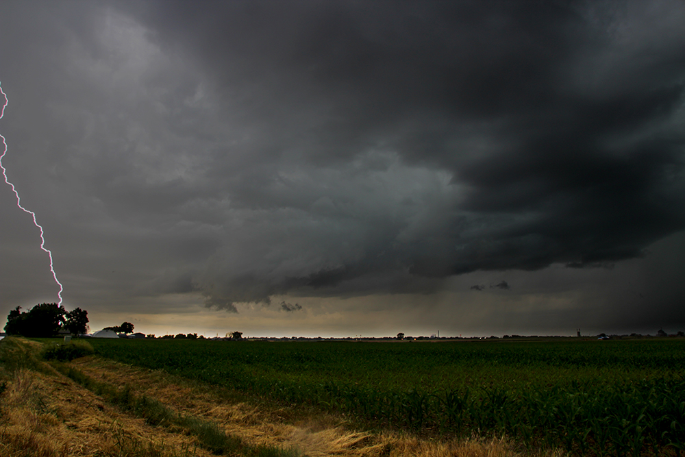
7:03 PM MDT: Dropping south on Hwy 63 towards Akron - right across the bow echo's path. Stunning, ominous shelf cloud presentation. We are about to get absolutely broad-sided by west winds on the gust front. A nice way to end the chase day!
7:09 PM MDT: 60 MPH winds and blinding horizontal rain blowing right to left across the road!
7:15 PM MDT: We're at the bottom tip of the bow echo now - no rain and perfectly calm winds here. You should hear the hail roar coming from our north. It's almost loud enough to make me think there's a tornado buried in there - definitely isn't though looking at doppler. Quite an interesting finale to our Montana/Wyoming chase.
8:53 PM MDT: Kind of a surreal moment, we're passing through Wray again on our way to Colby, KS for the night. Still can't believe what happened here just over a month ago.
9:45 PM MDT: Stopping at what is quickly becoming our Colorado post-chase tradition - Burlington Denny's. Chase live-streamers Daniel Shaw and Kelley Williamson are at the table across from us sharing stories about the day - doesn't sound like we missed too much. No sign of the Flogging-Molly-hobo-kid who joined us for our last meal here - to Toni's relief.
11:40 PM MDT: Safely in Colby for the night after quite a long chase day.
Recap, Filmmaking Notes, and Lessons Learned
- The tornado of the day actually happened way out of my target - down in the Texas Panhandle! There was also a nice one off the Raton Mesa in southern Colorado. And even our Ft. Morgan supercell got a preliminary tornado report - though I haven't seen any pictures or footage from that one.
- Today has taught me to have a little better plan and discipline for high-plains days. I stuck around near Douglas for far longer than I should - given the parameters storms were moving into. It would have been much smarter to play the DCVZ from the onset - but sometimes these high-plains days seem so random that it makes more careful forecasting seem so pointless.
- Sometimes when the day is getting long and the footage hasn't been that great, I lose motivation to do the extra work for slider shots. But those are the times I need the slider most - to snag something memorable for the day memorable. Even bland stuff looks pretty neat in slider-lapse. I always need to remember this.
- The lowest scan of the Cheyenne Nexrad always seemed artificially weak. We ended up using the second elevation scan, as it seemed much more consistent with what we were observing. Not sure if this was a temporary problem, or a well-known issue that we just stumbled upon.