Date: September 27, 2013
Time: Late Afternoon
Place: Amarillo, Borger, TX
Distance: 719 mi (281 positioning, 80 chasing, 358 to home)
Camera: T3i, GoPro
Warnings: SVR
Rating: S3
Forecast and Set Up
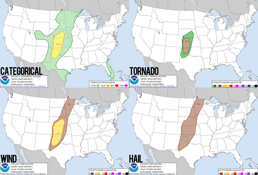
After our somewhat botched attempt at a fall chase last October 12, I was ready for some autumn redemption. This setup had been signaling itself in the models for most of a week with an amplified trough digging into the central plains, rich moisture transport, lee cyclogenesis, and decently curved hodographs. Most of the right ingredients seemed to be in place. The primary concerns were lack of CAPE (~1000 at the most) and diffuse boundaries for initiation. But there did seem to be a brief window of opportunity for a tornado or two before storms congealed into lines and gusted out.
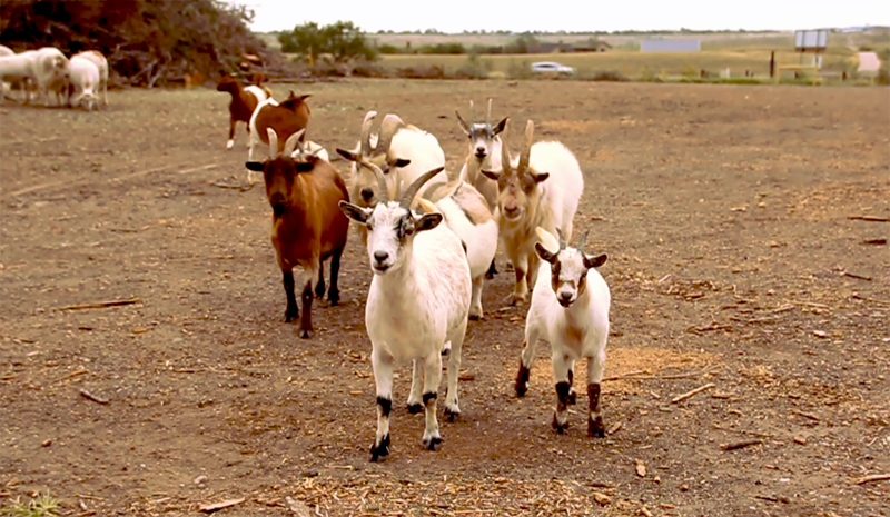
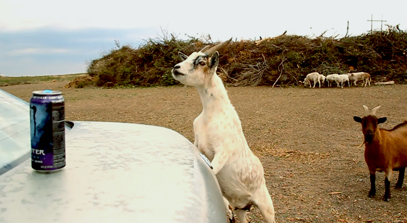
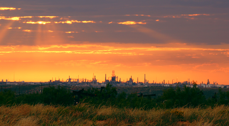
With this hope in mind, we left ABQ mid-morning and arrived in our target of Amarillo just after lunch time. There were still a couple hours before storms developed, so Toni visited the usual Starbucks while I hopped onto a work TCON while we waited. Around 3PM, we drove to the northwest side of town and parked in some sort of tree/brush dumping ground. This not only gave us a great 360-degree vantage point, but it was also home to a large flock of goats who were eating whatever goats eat in a brush dumping ground.
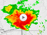
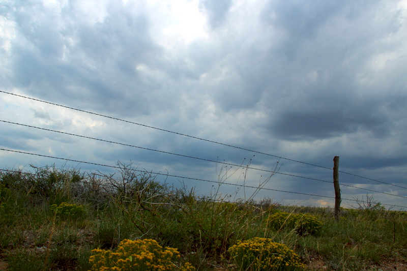
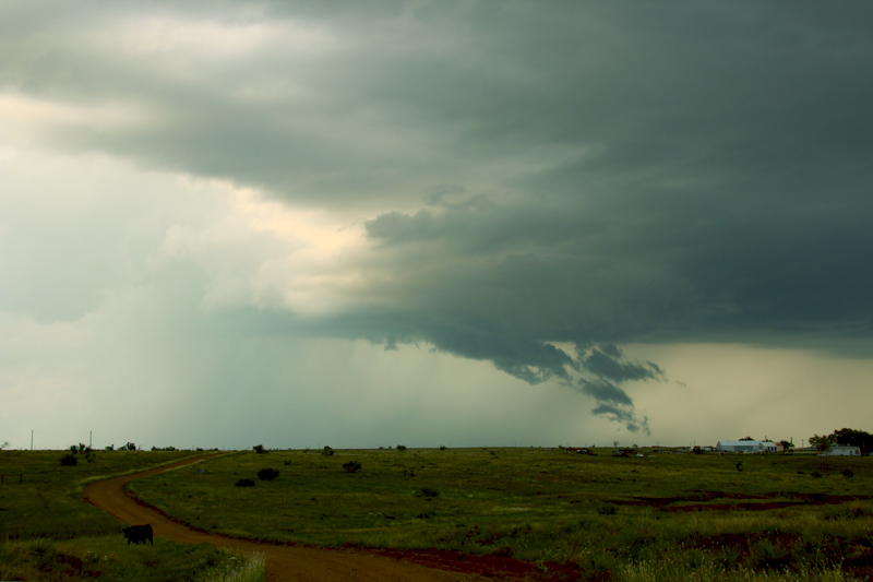
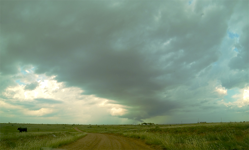
After watching the goats for a while, we noticed a splotch on radar to our southwest near Hereford. Initiation was underway. Over the next 45 minutes, this cell organized and strengthened as it moved directly towards us. We packed up our camera gear as the first sprinkles of rain began to fall. The chase was on.
The Chase
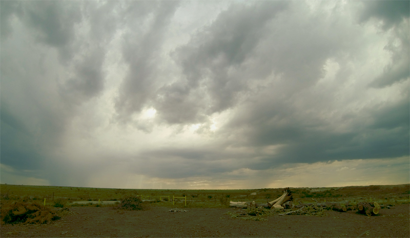
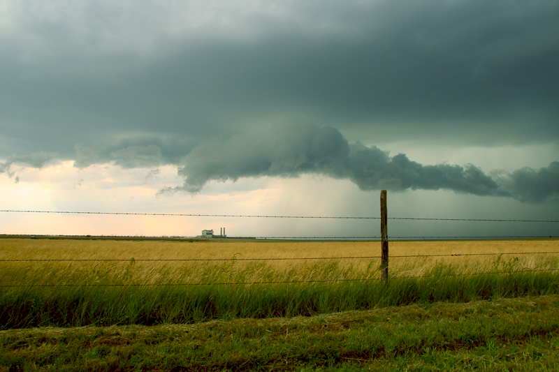
Following Hwy 335 that loops around Amarillo, we stopped on the northeast side of town by the ASARCO refinery and Harrington-Nichols power station to watch the cell slide by just to our west - with a good vantage on any possible wallcloud development. No warning had yet been issued on the storm, but it was starting to display some ragged scud on its southern flank with some nice rising motion. At this point, I made a pretty noob-ish mistake and got directionally confused by a diagonal road thinking we were looking west as the storm slid by instead of north. This meant we fell behind the storm more than I meant to, and we had to rush up Hwy 136 to catch up.
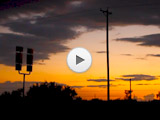
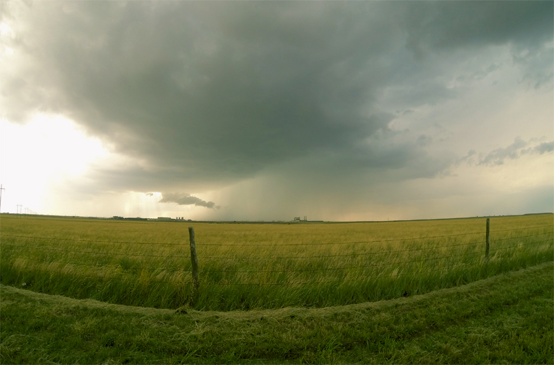
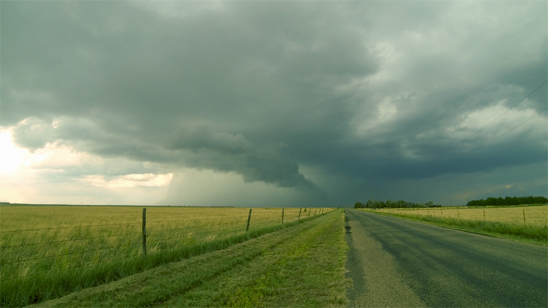
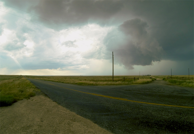
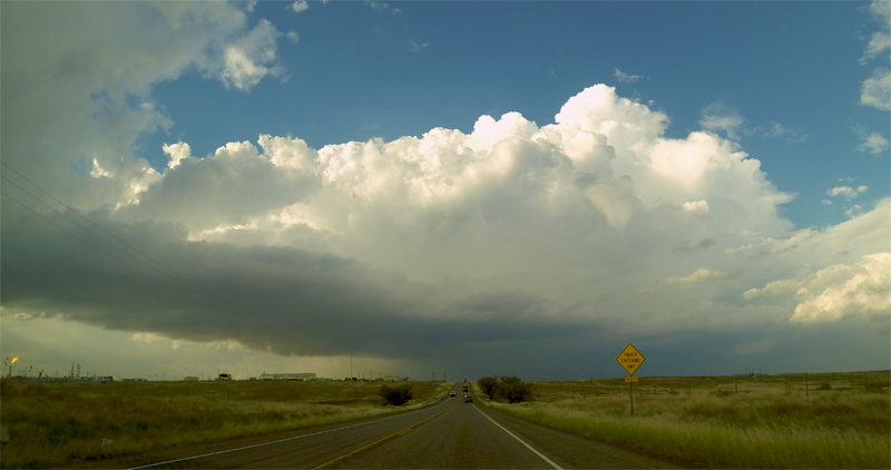
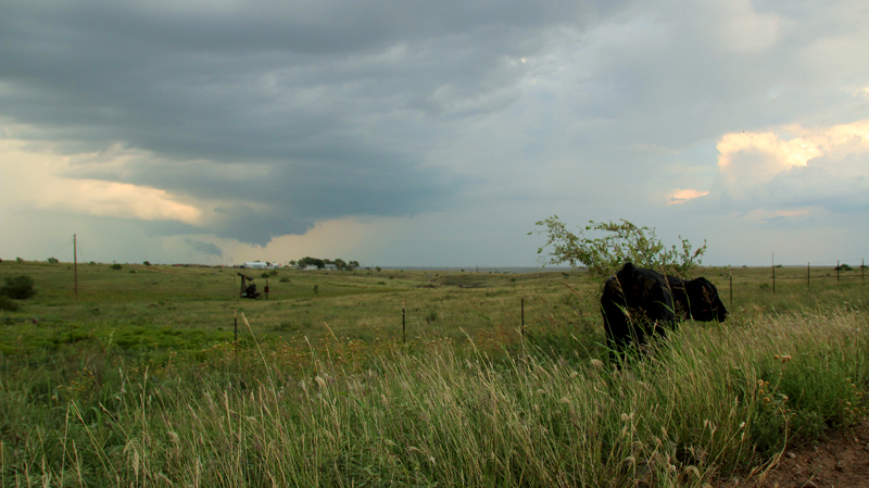
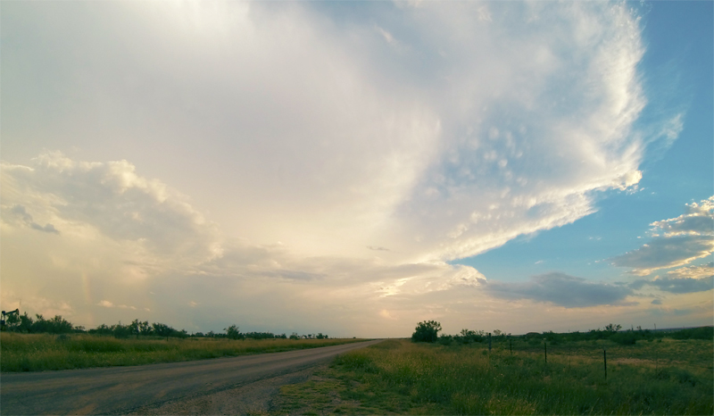
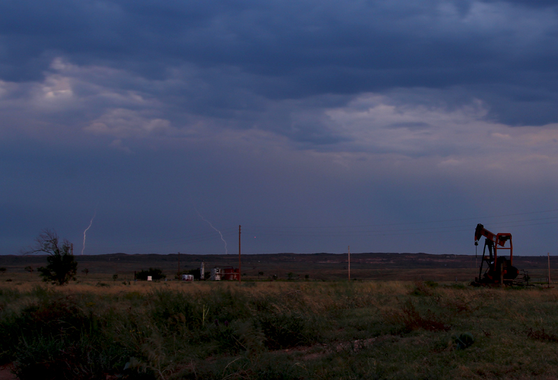
About 15 miles northeast of Amarillo, the storm finally got a severe warning. It was at this point that we caught back up and observed some very slow rotation on a ragged lowering. Unfortunately, just as the cell seemed to be ramping up, the road network stopped cooperating and we had to make a long detour east to Panhandle TX, before we could blast north again to catch up. During this time, another cell blew up on the southern flank of the original storm and quickly became dominant. It was this new cell that we intercepted in Borger. There was again some rising scud and maybe a hint of some RFD wrapping around as the storm cruised northeast. And once again, the roads failed us - giving no viable path northeast out of Borger. Thus, we decided to call it a chase, and watched the sun set before heading back into Amarillo for the night. Before we left our final observation point, an unseen pack of coyotes decided to howl hilariously at us for a few minutes. Toni thought they were sheep at first.
Recap, Filmmaking Notes, and Lessons Learned
- Diagonal roads make it easy to lose directional awareness, especially when youre used to chasing on a grid.
- The roads north of Amarillo are really tricky, especially for NNE moving cells.
- Borger is pronounced with a hard "G," not a soft one.
- The Konovo slider belt can develop kinks if it sits in the tightened position for too long. This can cause uneven motion when sliding as the kinked part rotates through the gears. Always release tension on the slider belt when not in use.