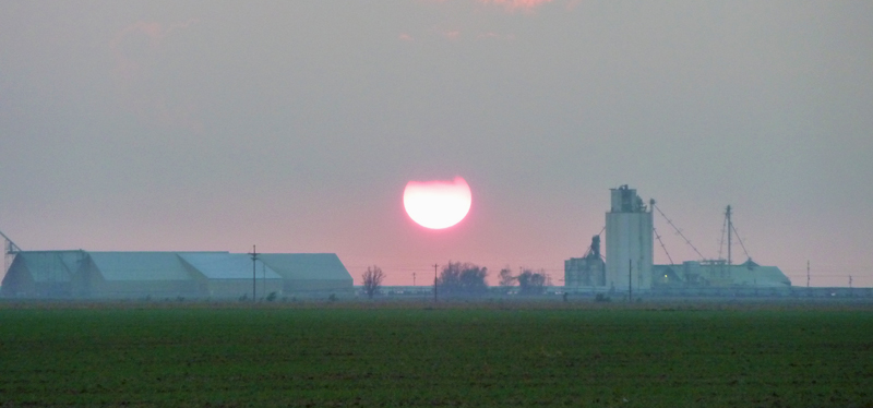
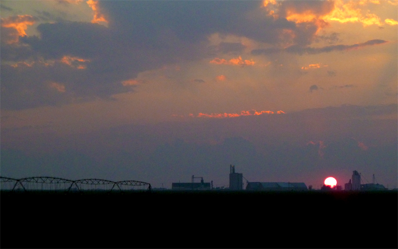
Date: October 12, 2012
Time: Sunset
Place: Friona, TX
Camera: T3i, Lumix
Warnings: SVR, TOR
Rating: S5
A nice finale to my first year of plains storm chasing. For several days, weather models had been converging on the possiblility of a late fall severe weather outbreak in the panhandle. Being only a few hours from the potential action, we got a late morning start out of ABQ and headed east on I-40. I was a little worried about the cool air and dense cloud cover over eastern New Mexico (not good for storms), but there was plenty of wind shear if any storms did pop up.
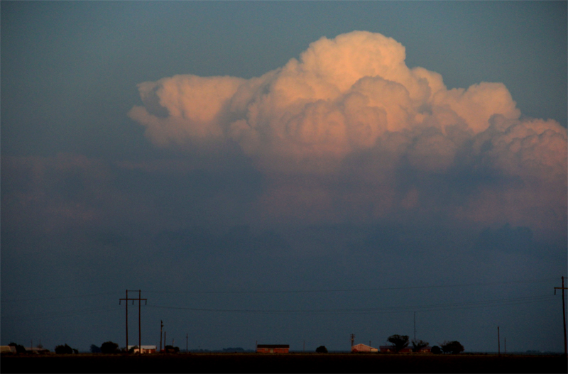
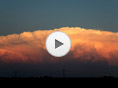
We left the interstate at Vega, TX and dropped south to get under the warm front, which was not moving as far north as anticipated. Instability just didn't seem to be cooperating, though. Skies over eastern NM (where I was hoping storms would build and move towards us) cleared up and stabilized as we made our way to Hereford and then Friona. Then, just as the sun was setting, awesome towers shot up just north of Lubbock, about 70 miles to our southeast. We pulled off into a field near Friona and shot some really neat timelapse (some of my favorite ever)! During the timelapse, the storms went tornado-warned, and even but down a very brief tornado or two.
Driving back to ABQ during the evening, we also saw some really impressive lightning south of Clovis. Finally, the eastern NM storms I'd been hoping for had fired. Toni didn't want to get in a night-time storm (after the Wichita debacle), so we blasted east from Clovis to avoid what looked to be a really intense hail shaft. Lightning was nearly blinding as we dodged just out of the storm's reach. I was really anxious to get to a safe vantage point and then shoot some lightning photography. But literally the minute we got safetly out of the cell's way, the storm collapsed epically. This thing went from near-constant lightning to nothing in the span of 3-4 minutes. Never seen anything like that.