Date: May 27, 2017
Time: 3:00 - 7:15 PM MDT
Place: Trinidad, CO to Clayton, NM
Distance: 688 mi (270 to target, 145 chasing, 273 to home)
Camera: T3i, GoPro3, GoPro5, Sony RX100ii
Warnings: SVR, TOR
Rating: S5
Pre-Chase
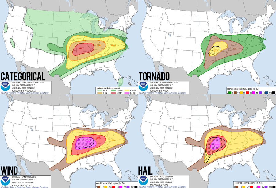
11:30 AM - 3:10 PM MDT: Saturday in late May. Moderate Risk. 10-hatched tornado probabilities. Obviously we're gonna be there, right? Well...
Today a broad, positively-tilted trough is oozing down into the middle of the country, bringing a long fetch of strong ESE 500mb winds from New Mexico to Virginia. Along this corridor of upper-level winds are plenty of embedded shortwaves disturbances, the primary of which is forecast to kick off a significant round of severe weather from southern Oklahoma into Missouri (where the moderate risk and 10-hatched probs are). But I had some major doubts. Many of the CAMs suggest an insta-squall-line and after-sunset initiation. Combine that with chase terrain we really try to avoid, and you've basically wiped out the main reason we chase - good timelapse opportunities.
But the main play isn't the only play; extreme SE Colorado hinted at the possibility of a nice upslope day. Shear wouldn't be a problem, as 50 kts were available along the northern fringe of the main 500mb fetch. Daytime discrete initiation also looks likely via upslope winds combined with a shortwave swinging into Colorado. Moisture is the main issue, with dewpoints barely eaking out 50 degrees. But seeing some nice, consistent helicity tracks over beautiful terrain was enough to get me out for the relatively short drive to Trinidad, CO -- even if that meant high-based supercells with little tornado potential. We left home at the leisurely time of 11:30 AM, grabbed the usual Chick-fil-A, and were over the Raton Mesa and in Trinidad by 3:10 PM.
The Chase
3:10 - 4:00 PM MDT: Two areas of interest were apparent as we left Trinidad. To the northwest a discrete storm was rolling off the mountains towards Walsenburg. To the southeast, new blips were strengthening near the CO/NM border around Trinchera. Since we were behind these new blips, and I thought any tornado chance would be related to interactions with the Raton Mesa along the CO/NM border, we decided to head east along Hwy 160 to keep these new cells within striking distance. We could always shoot west to the Walsenburg storm if we needed to.
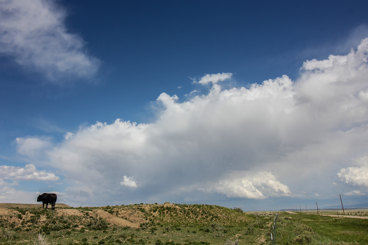
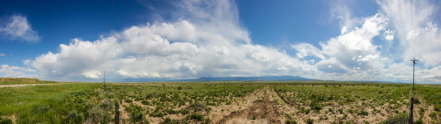
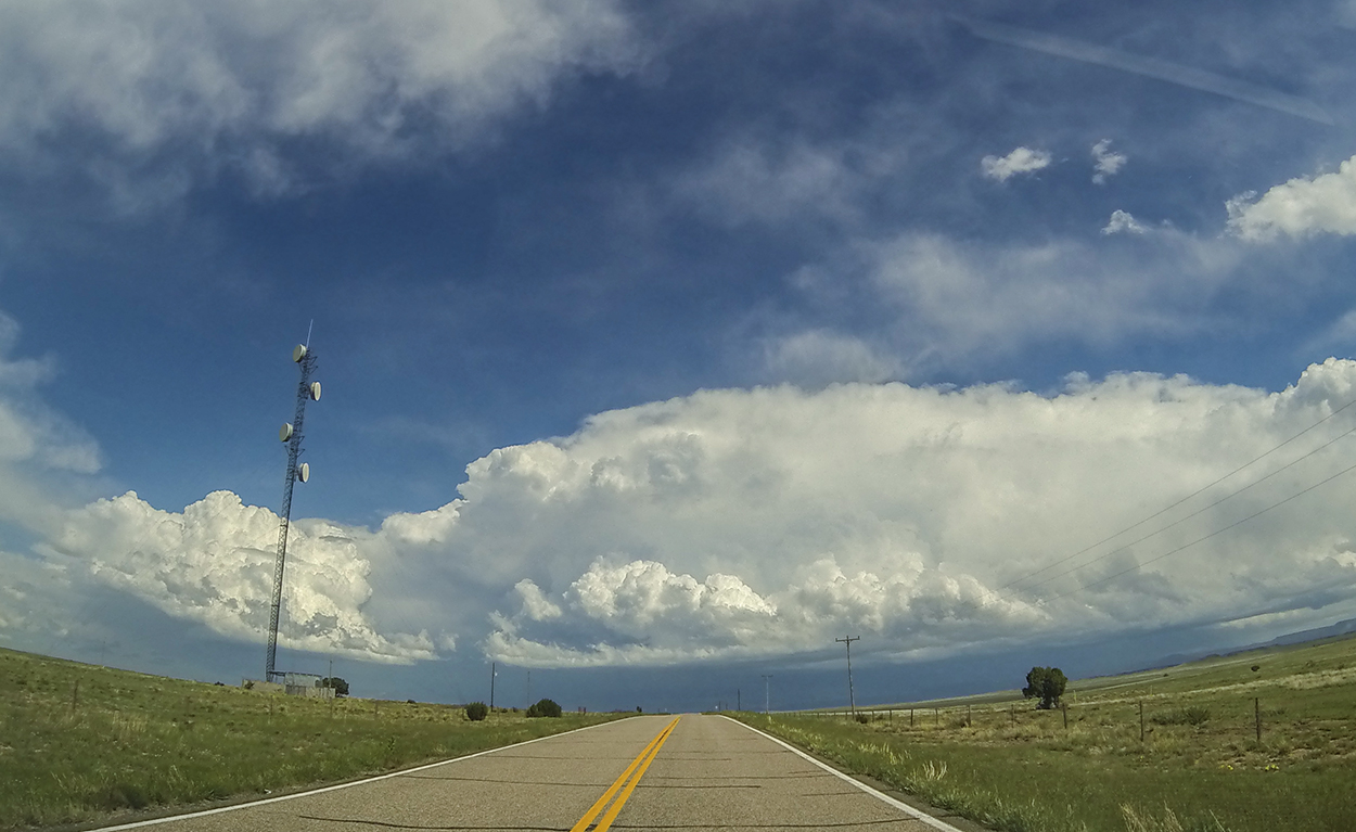
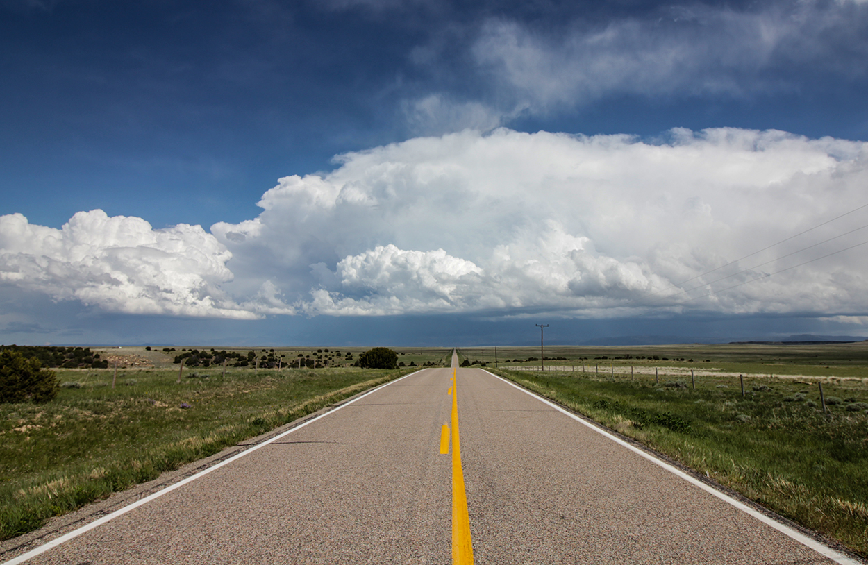
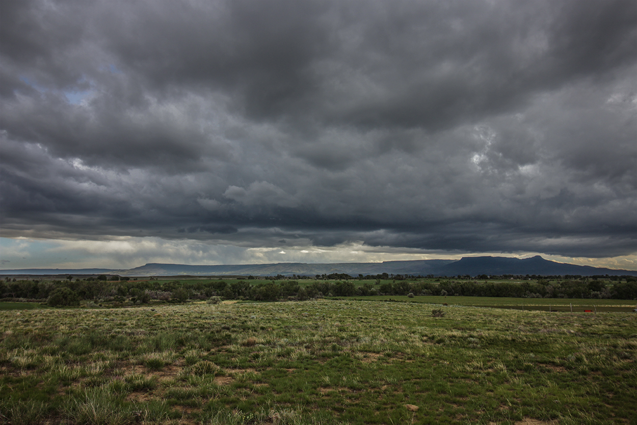
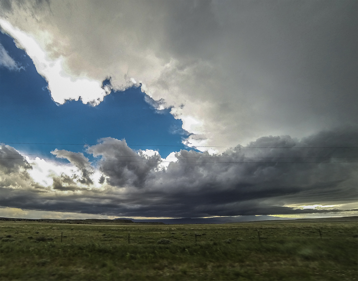
The rolling plains east of Trinidad are one of the most gorgeous and desolate locales we've chased. To the north and east, the flat horizon of the plains stretches endlessly for thousands of miles; to the south and west, the Raton Mesa and Rocky Mountain foothills bound the skyline. This is the true western fringe of tornado alley (at least, IMO), and I'm always excited to chase here. We stopped several times along 160 just to soak in the crisp white cumulus, deep blue mountains, and bright green grasses.
We tracked east all the way to the 113/160 intersection, but the young storms we were following didn't appear to be exploding into supercells. This far from Trinidad, we'd lost cell service as well, so I decided to head back a few miles just to reassess radar. After 5 minutes driving back west, Radarscope updated with a new red box. At 3:53, a tornado warning had just been issued on the Walsenburg storm!
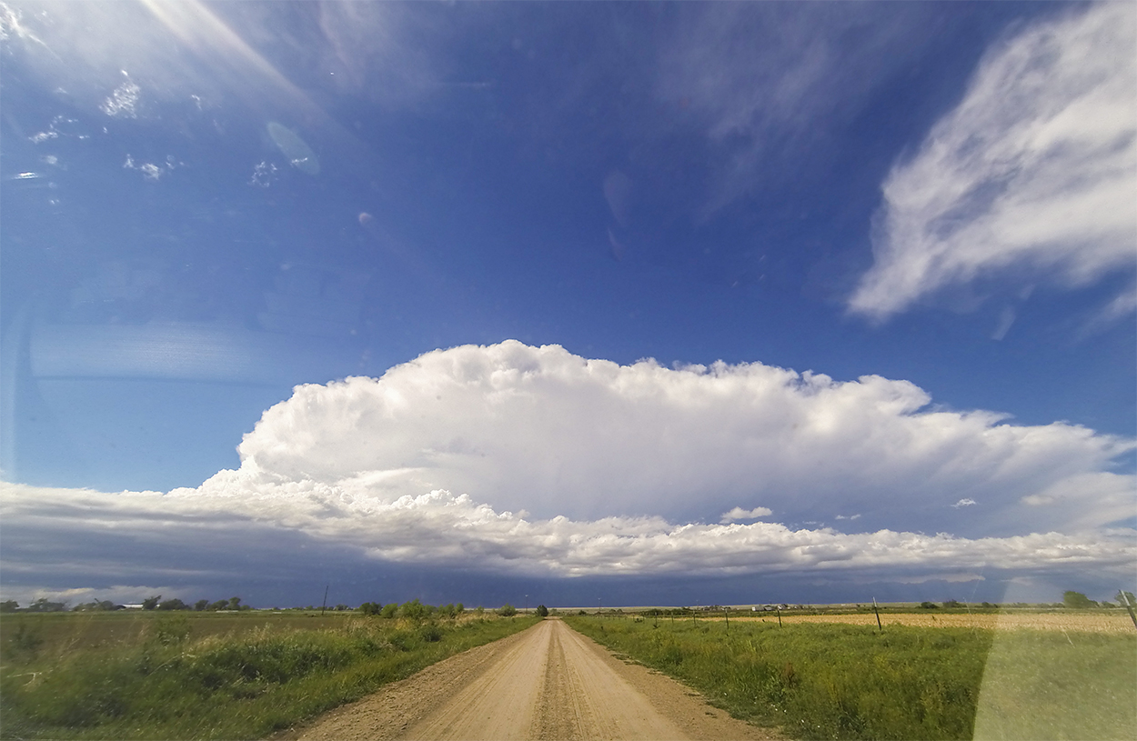
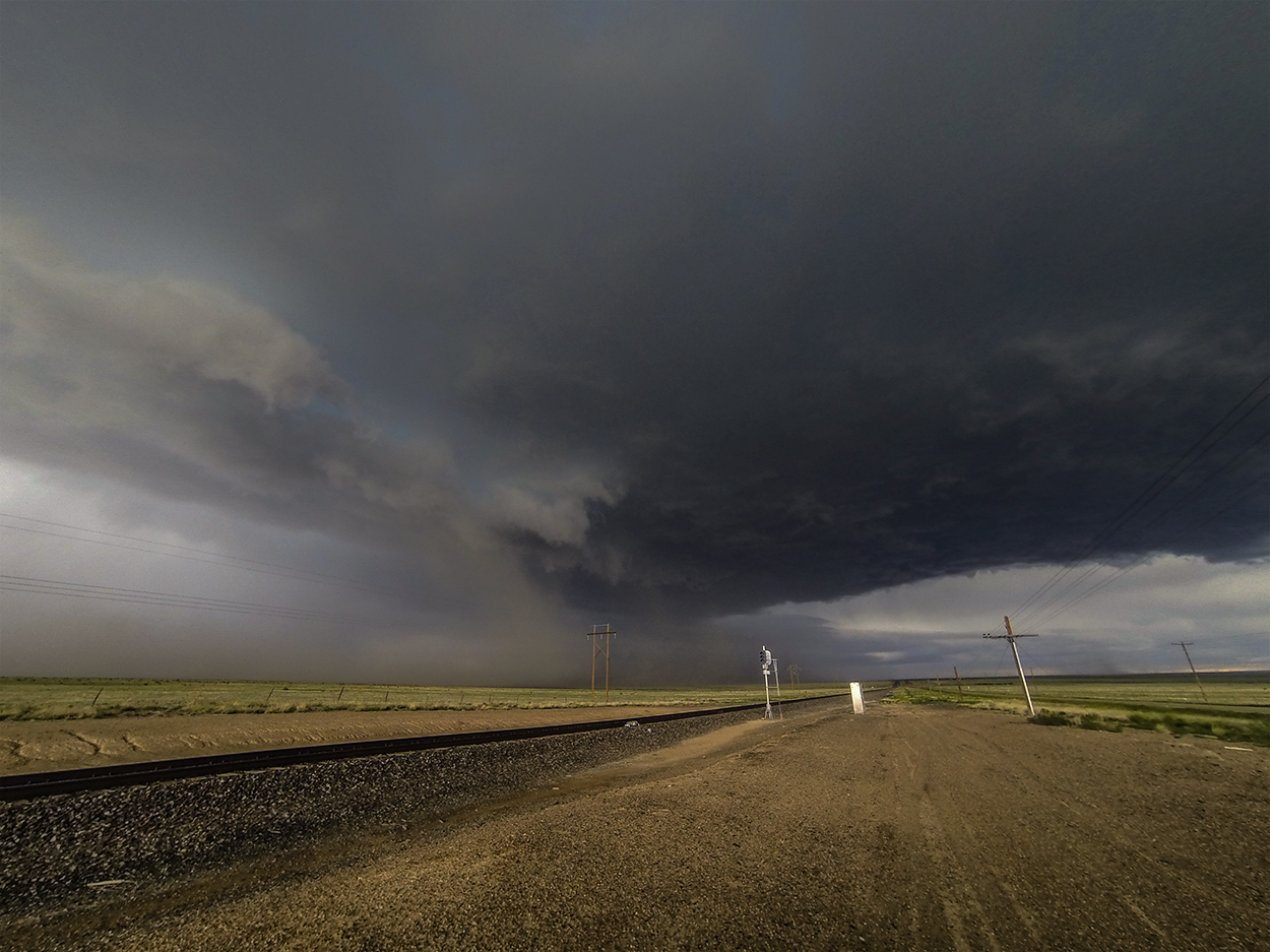
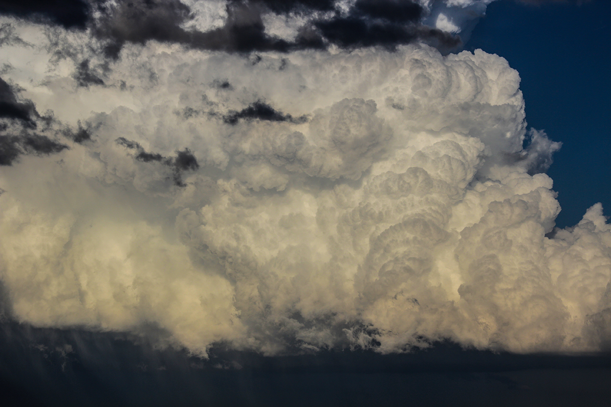
4:00 - 4:50 PM MDT: It's a great feeling when you're looking at the updraft tower and anvil of a newly-tor-warned storm dead ahead. Cutting the corner from Hwy 160 to Hwy 350 on some dirt roads, it only took 15 minutes before we were downstream of the incoming supercell -- setting up halfway between Model and Tyrone. Unfortunately, instead of looking at a classic supercell, we were instead greeted with a high-based outflowy-looking storm -- not surprising given the dewpoints. Still, it was great to get a front-row seat on a surging hail core. I set up some timelapse (making the classic blunder of not doing a final focus check and ruining a slider shot) and we awaited arrival.
As the hail core neared, we heard the growing roar of stones impacting the open grasslands to our west. A trio of antelope was dashing towards us in a panicked attempt to outrun the oncoming onslaught. As the first quarter stones started falling, I threw all the camera gear into the Crosstrek and we sprinted south to dodge the core. Some nice golf-ball hail began slamming us on Toni's side of the car, and I was a bit worried about her window. But it was only a minute or two before we were free of the core's clutches -- windows intact. From the ghost town of Model, we watch the storm continue past on it's southeastwardly path with a bright white hail shaft gleaming in the sun.
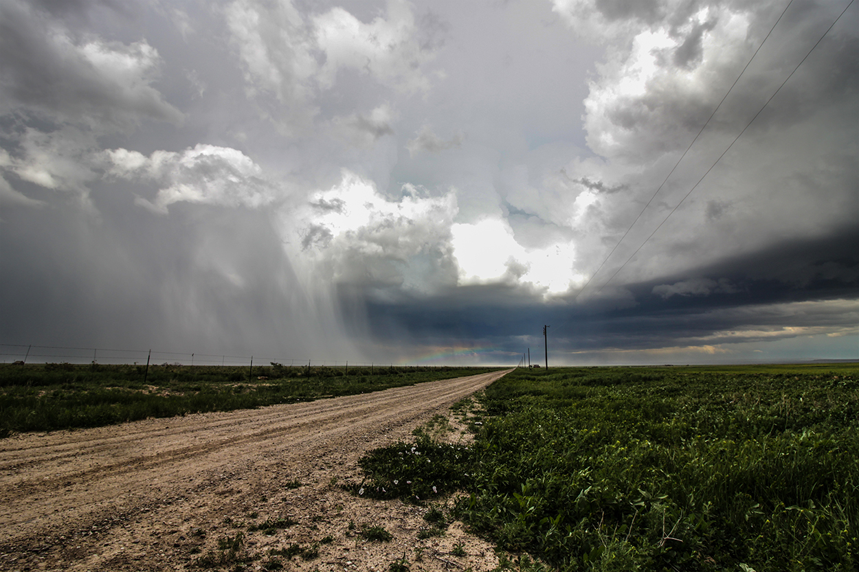
4:50 - 7:15 PM MDT: On good upslope days near the foothills, when one storm gusts out there's often another fresh storm rolling off the mountains. And by 5PM, this was the case as a new cell was just rumbling over Trinidad 15 miles to our SW. We retraced our steps SW on Hwy 350 then east again on 160 -- now about 5 miles northeast of a storm developing marginal supercellular features. My plan was to get ahead and then drop south in front this easterly-moving storm. Along the drive, I snuck some brief glances out the right side of the car and noted a stubby inflow tail and short-but-fat wallcloud along with a nice southern appendage on radar. Unfortunately, instead of pulling over to immediately get some steady timelapse, I became even more hopeful that the storm would continue to mature and we needed to get ahead of it. Sadly, this cost us an in-person view of a brief tornado that spun up along the side of the Raton Meso, likely enhanced by circulations associated with the terrain. (We did catch it on GoPro timelapse. See my 2nd recap note for more info).
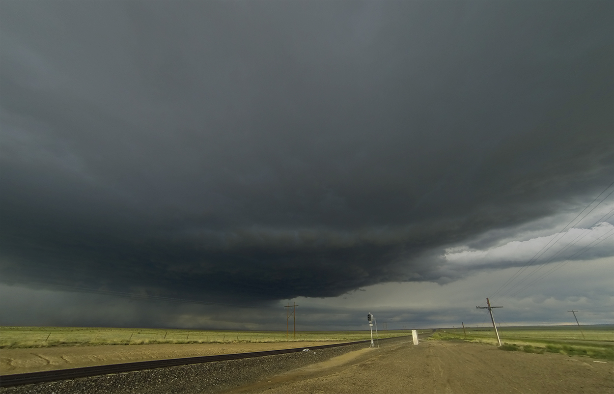
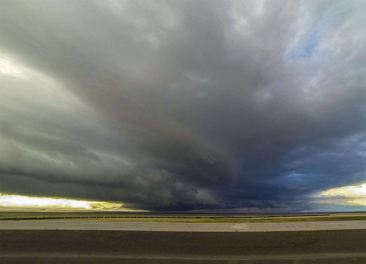
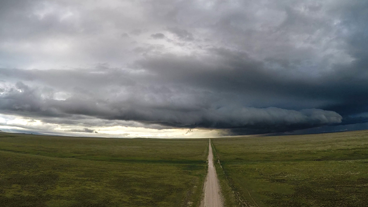
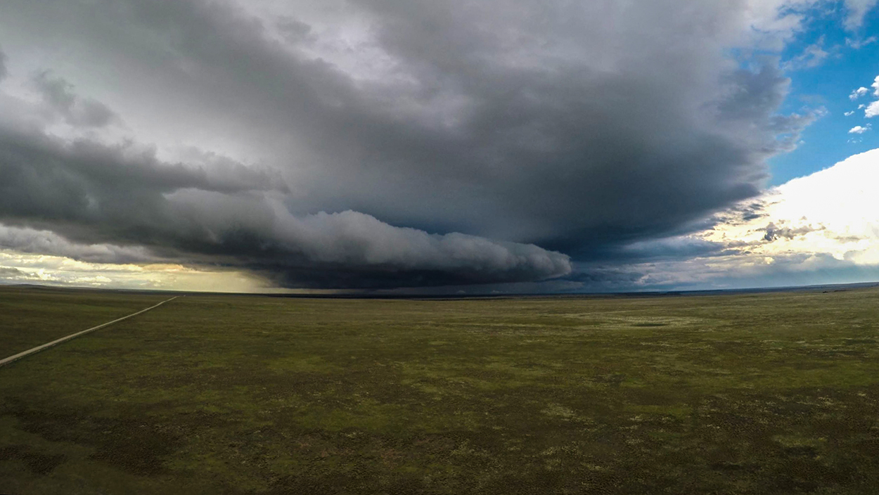
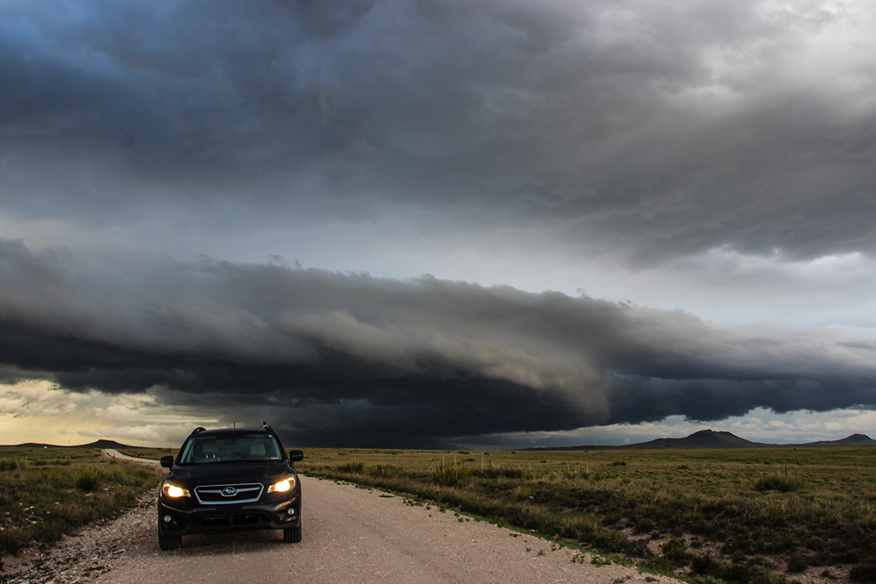
It wasn't long before cold air from the old Walsenburg storm blasted us from the north and choked off the nascent supercell. We've been here before. There's just no stopping air this cold and dense, and any storm in its way has a very limited life expectancy. So over the next couple hours, we dropped south through Branson, CO, through the eastern fringe of the Raton Mesa canyons, past the town of Des Moines, NM, and towards Clayton. Along the way, we stopped a few times to get drone shots and timelapse of the pursuing wedge of cold outflow air kicking up a pretty shelf cloud over the New Mexico plains -- our first time in this particular corner of our home state. We did observe some crisp new storms just moving into the Texas panhandle about 25 miles to our east. But as darkness started to fall, we decided to lazily watch those storms withdraw towards the horizon. We'd had enough chasing for the day, and we were hungry. A nice New Mexican dinner was on tap at the Rabbit Ear Cafe in Clayton, before we began the 3.5 hour trek back to ABQ -- arriving just after midnight.
Recap, Filmmaking Notes, and Lessons Learned
- There were a few pics of tornadoes in southern Oklahoma today, but the night-time, linear bust I (and many others) feared mostly came true. Nothing particularly memorable came out of the hyped-up moderate risk, and I'm happy with our decision to chase the marginal Colorado play.
- Only upon inspecting and archiving our timelapse for the day did I notice the little ground swirl and overhead funnel of the Raton Mesa tornado. This spin-up lasted for 110 seconds starting at approximately 5:14 PM MDT. The parent storm was unwarned (either SVR or TOR), and the speed of organization and collapse of the little tornado makes any kind of warning basically impossible. Unsurprisingly, the brief tornado went un-reported since there were only a few other SpotterNetwork dots out in the area that day. As far as I can tell, no one else caught this little spin up.
- If you see even marginal supercell structure in Colorado near terrain features like the Raton Mesa or the Palmer divide, STOP FOR A MINUTE and take a closer look. If we'd done that, maybe we'd have seen the little tornado IRL rather than after the fact.
- Double and triple check focus through the viewfinder before starting a T3i slider lapse.