Date: May 22, 2016
Time: 4:30 - 8:00 PM CDT
Place: Clarendon, Lakeview, TX
Distance: 879 mi (307 positioning, 230 chasing, 342 to home)
Camera: T3i, GoPro3 Black, Sony RX100ii
Warnings: SVR, TOR
Rating: S5
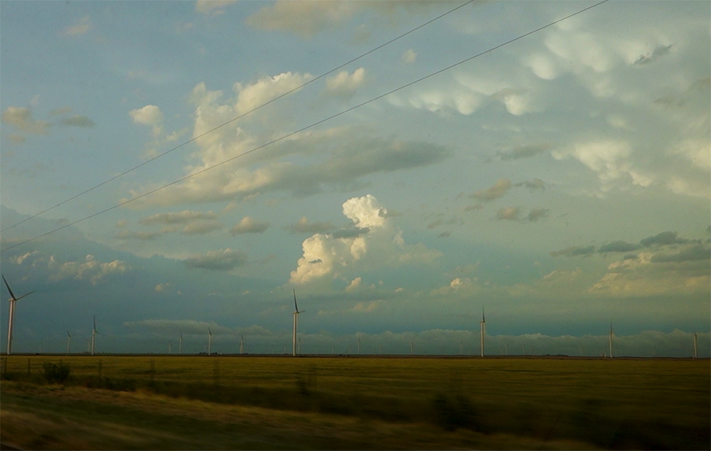
The Chase
7:51 AM MDT: I'm kicking myself this morning. I decided not to chase yesterday and we missed the amazing Leoti, KS supercell - a timelapse dream. To make up for that, today we are targeting the western TX panhandle where a sharp dryline should kick off some storms under nice SW shear. This whole week will probably feature some good chasing, with a big western trough sending shortwaves out over the plains. But today is our only chance since I have work travel coming up this week.
8:03 AM MDT: Being a Sunday morning, we can't grab our usual Chick-fil-A breakfast. This better not jinx our chase day! What-a-burger, you have a lot riding on this :)
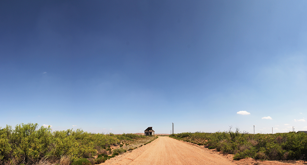
10:49 AM MDT: Taking a picture stop at the ghost town of Taiban, NM. Been wanting to film here for a while! The stark, abandoned Taiban church is amazing. I didn't spend too much time inside though - there was this really intense sickly-sweet smell inside. No clue from what.
11:57 AM MDT: Toni found a nice little coffee shop (The Java Loft) in Clovis. The dryline is right here on the NM/TX border - so we're having a leisurely coffee break before the chase begins.
2:41 PM CDT: I'd never been to Dimmit, TX before, but the name has always stuck with me from watching old storm chase videos (i.e. the Vortex 1 success on June 2, 1995), so we're sitting here just east of town in the muggy unstable air putting a fresh coat of RainX on the windows.
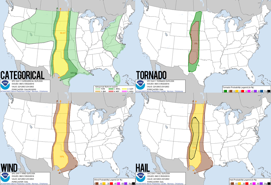
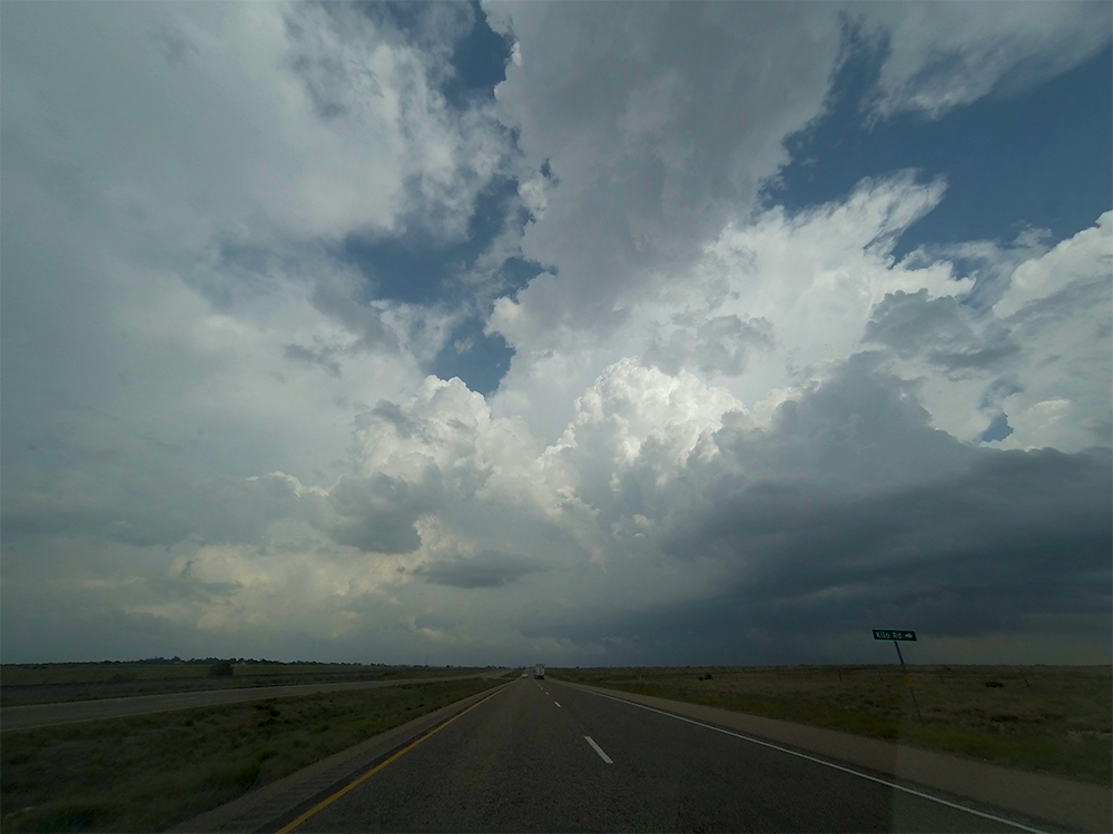
3:00 PM CDT: Some towers have been going up about 70 miles to our east near Turkey along some kinda ill-defined convergence zone. We are holding our ground here in Dimmit for now - waiting for the dryline to pop to our west. 60o dew points that far west impressive with CAPE over 3K! Oh yea, and a Tornado Watch just went up for the panhandle about 10 minutes ago!
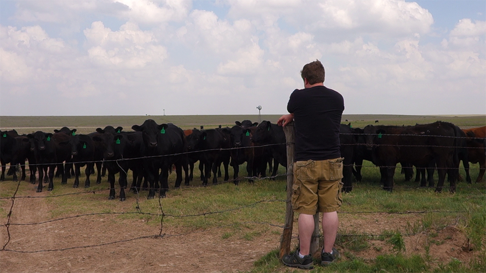
3:33 PM CDT: When you move off the main highways, cows are always excited to see a parked car. I have quite the audience right now.
4:19 PM CDT: Well crap, it looks like the Cu field is thinning out to our west. Meanwhile supercells in the eastern panhandle are getting organized. I'm not sure yet if the dryline mixed out and jumped east, or if there's subsidence behind that convergence zone to our east. But whatever the case, it looks like we need to play some major catch-up now. :/
5:07 PM CDT: Gassing up on the west side of Amarillo now. We made pretty good time. Storms near Clarendon and Memphis have been severe-warned for a while now, but no TOR warnings yet. Still have a ways to go, but we haven't missed the show yet.
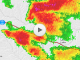
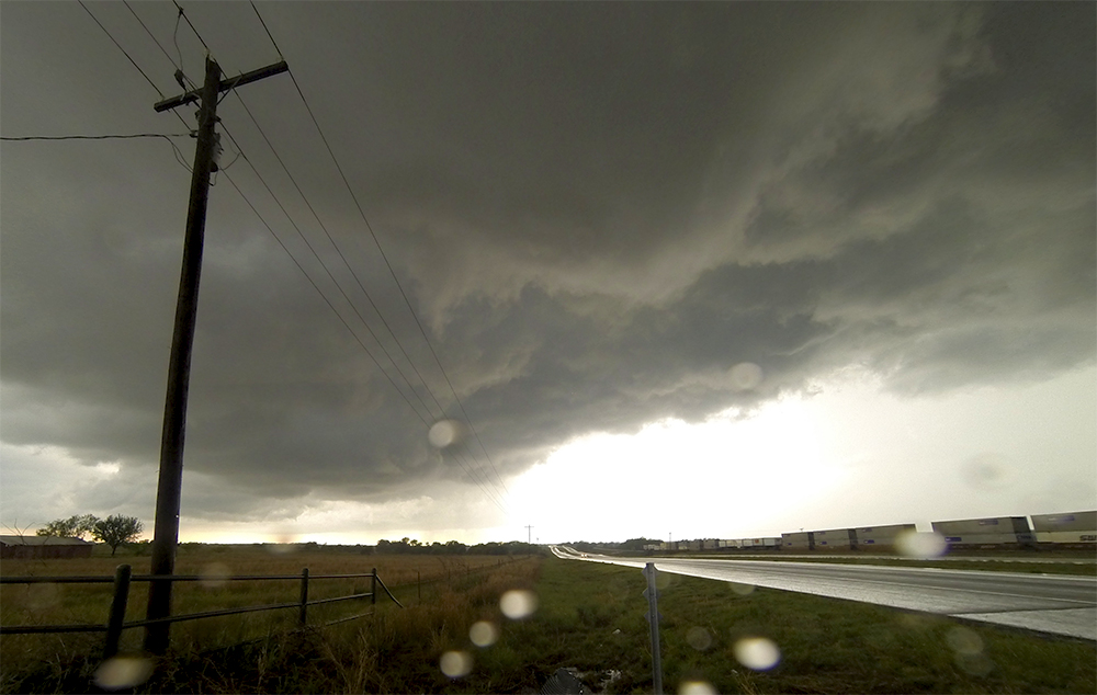
5:35 PM CDT: There's the first tornado warning of the day! About 15 miles ahead of us near Howardwick, TX. Don't have a view yet from here along Hwy 287 near Goodnight.
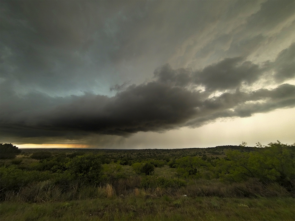
5:49 PM CDT: We are on the west side of Clarendon now. A new cell is blowing up between us and the Horwardwick cell, so I think that tornado is probably over as it gets rained on. Cells have been very crowded all day, but we will stick here and see what happens with this new storm.
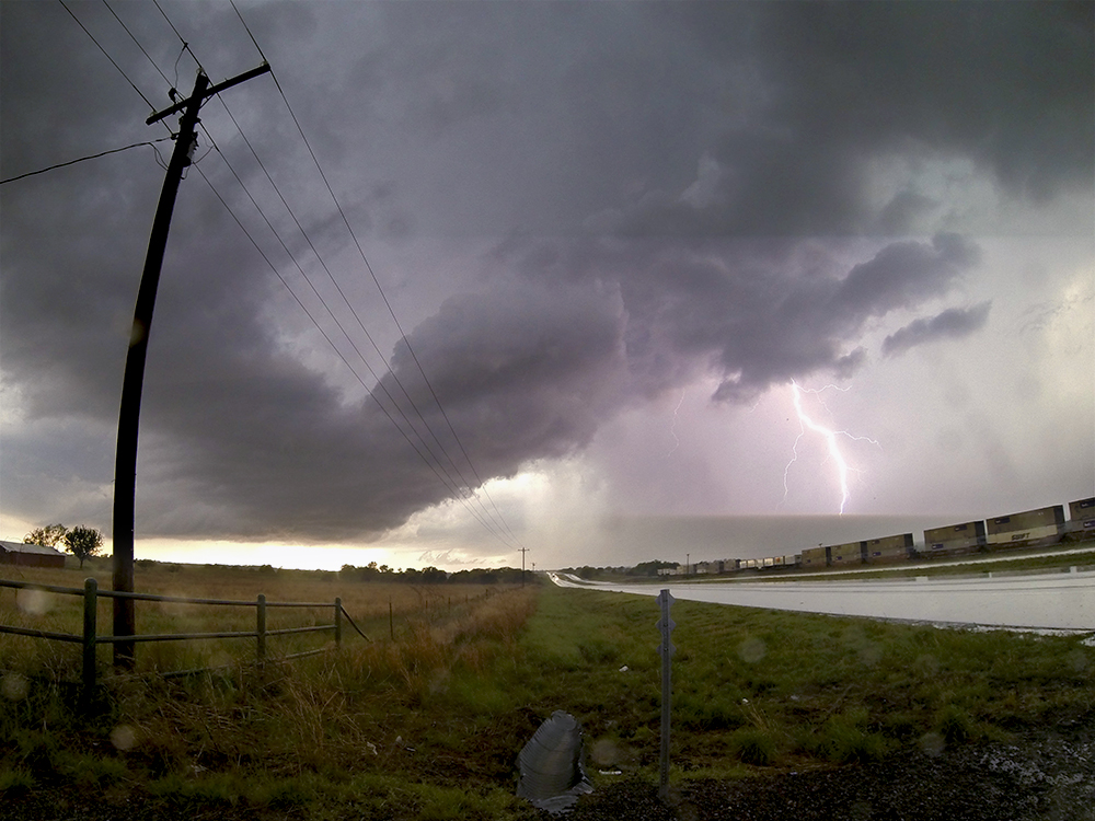
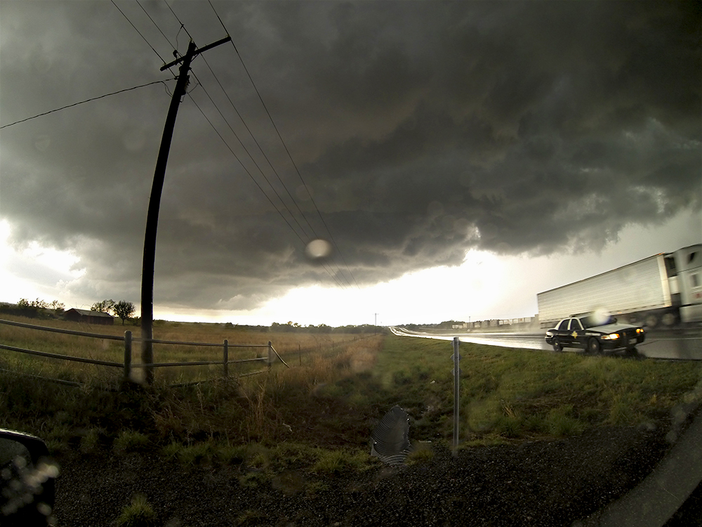
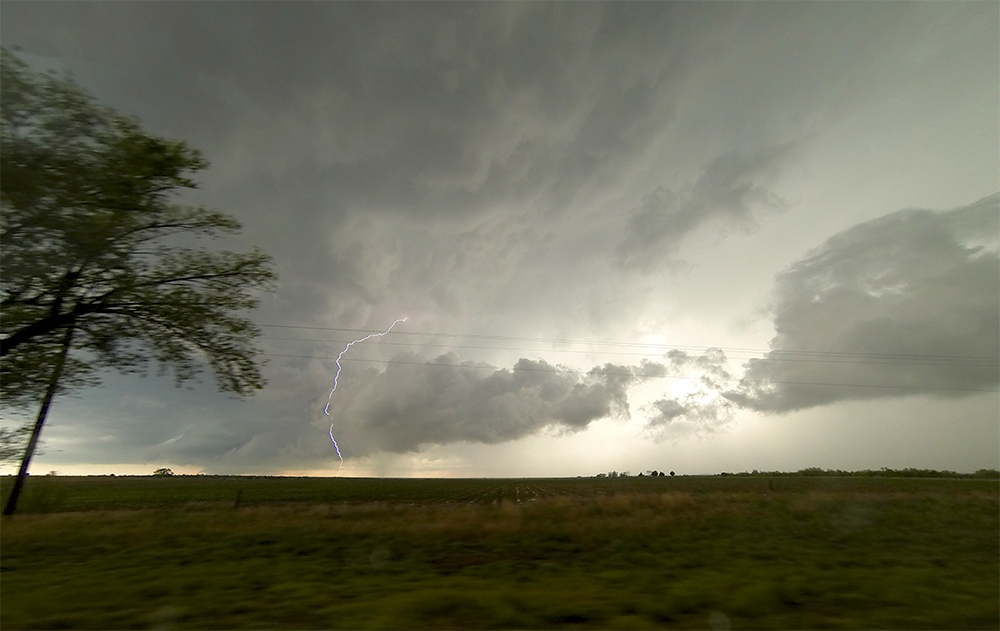
6:01 PM CDT: Lightning has been crazy - keeping me in the car. A Texas highway patrol pulled up behind us and I gave him my guess as to what was evolving. All our police encounters on chases have been very pleasant.
6:18 PM CDT: Had a strong area of rising scud just to our north - but our view got cut off as yet another cell blows up just to our south and is impinging rain on the updraft. Turning our eyes back south again on this new storm.
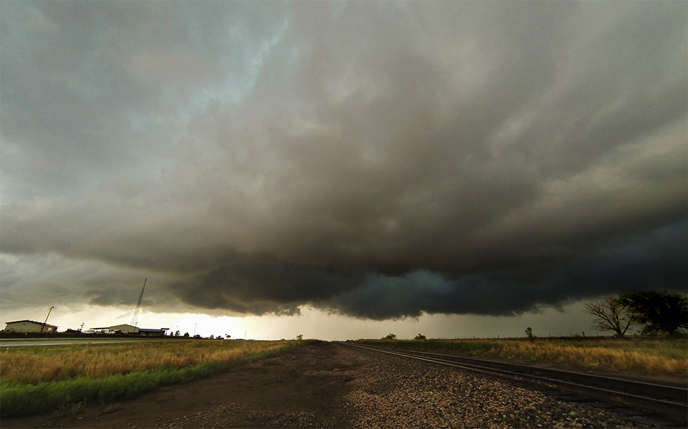
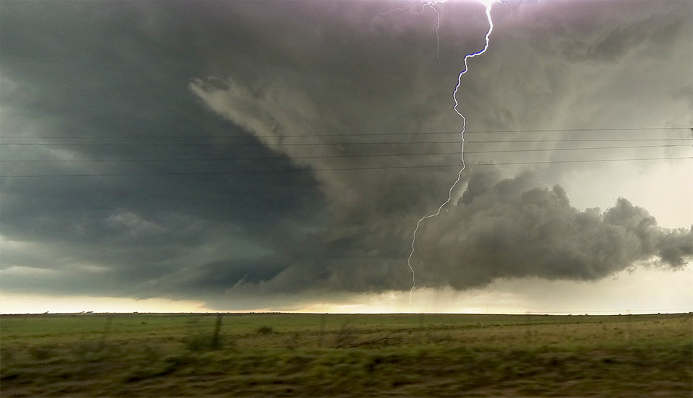
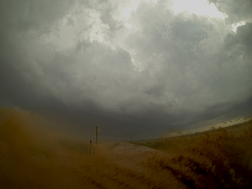
6:37 PM CDT: Dodged south of Clarendon to get out of the way of that new cell. Quarter-sized hail was beginning to pelt down as we passed through town. There's a beautiful little marshy area about two miles south of town with a great view west at the storm. Most intense lightning barrage of the day though - I'm not even getting out to stick the GoPro to the car.
6:41 PM CDT: So far storms have been moving NNE, but it appears this one is drifting SE. Hard to read what's going on, but maybe this cell is a right-turner and will have better SRH.
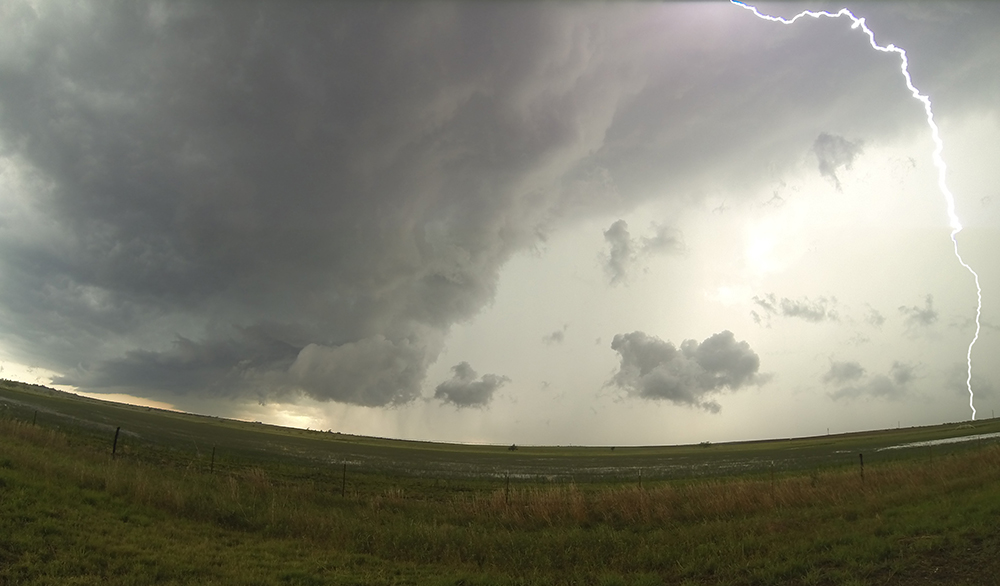
6:47 PM CDT: Stunning view from the top of the caprock escarpment on Hwy 70! Unfortunately it looks like I was completely wrong about our storm. It's not right turning - it's gusting out :(
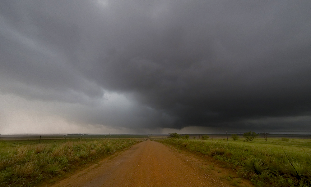
6:55 PM CDT: We're turning our attention to another storm that's had a persistent tornado warning the last hour. It's currently about 13 miles southeast of us between Lakeview and Memphis.
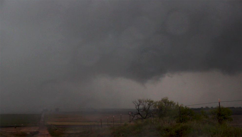
7:01 PM CDT: Dang it, no cell reception down here in the river valley - that'll really limit our options. About to turn east on Hwy 256 to approach this storm from behind. Never an ideal strategy even with signal.
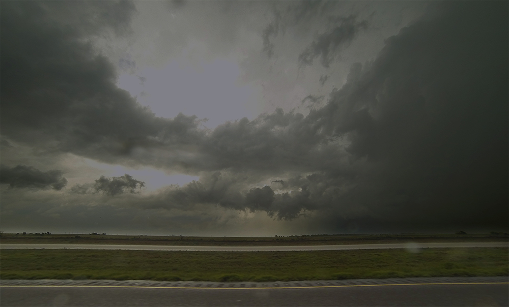
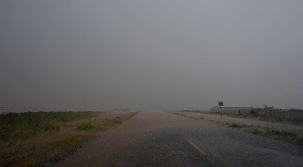
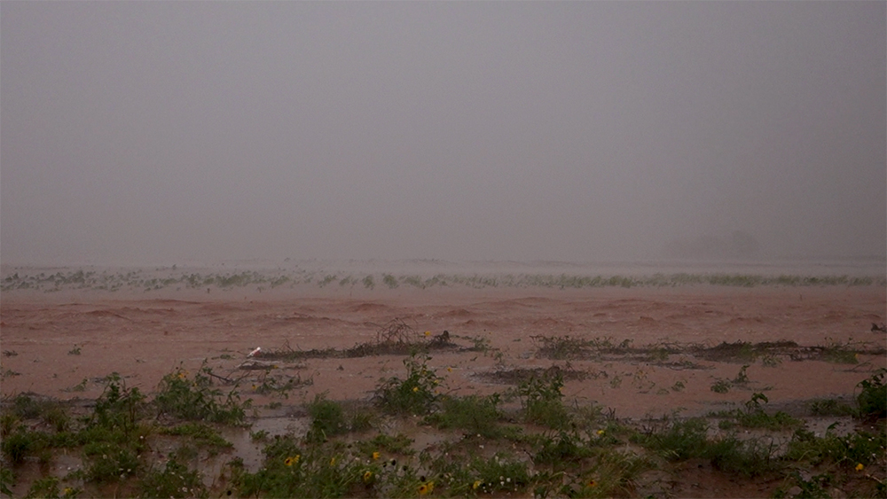
7:18 PM CDT: Well, it looks like our chase is pretty much done. There's some pretty significant water covering 256 and the grid roads - we actually passed a spot that might have risen even more and trapped us in. I wasn't thinking about how much rain has fallen here, but storms have been training over for quite a few hours.
7:40 PM CDT: We made it back out of the flooded areas and are now backtracking towards Clarendon.
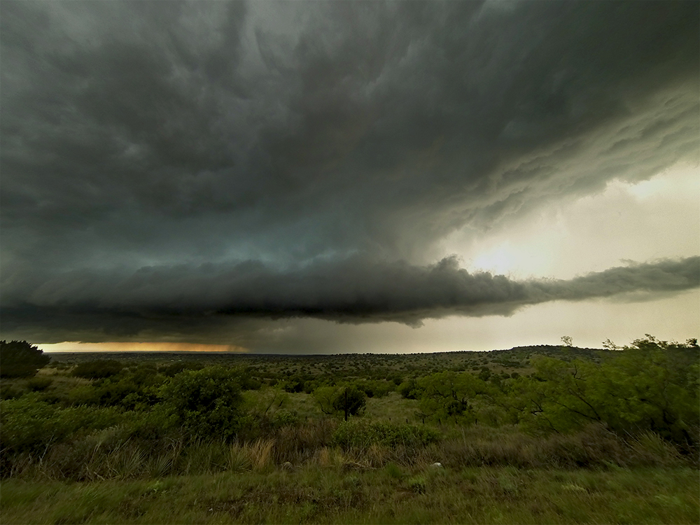
8:09 PM CDT: I was thinking we were gonna head to Amarillo for the night, but I'm making one last effort to get some lightning shots before we call it a day. Just cut north out of Goodnight. There's a raging supercell between Spearman and Canadian that I bet is putting out some amazing lightning - given the barrages we've experienced today.
8:51 PM CDT: Ugh, we just got to Pampa, where I was thinking about setting up for pictures, but there's a layer of low clouds pushing west in the cold outflow from all these storms. No view on the Canadian supercell. Heading back to Amarillo in defeat.
10:19 PM CDT: Just got in to Amarillo and we're trying out the 7 Bar and Grill - great because they're open late on a Sunday. Today was basically a comedy of errors from a chasing standpoint, but even on the fail days it's still such a special treat to see and hear all those sights and sounds.
Recap, Filmmaking Notes, and Lessons Learned
- There were plenty of tornadoes to be had today. We just missed a stunning Horwardwick ropeout by a few minutes. We never really had a great chance at seeing the rain-wrapped tornado near Memphis. Further north near Spearman, a very beefy tornado touched down. All in all, there were 49 preliminary tornado reports captured by the SPC from North Dakota down to Texas. Of course, some of those were not confirmed or were duplicate reports, but still it stings to come up empty with all those tornadoes seemingly ripe for the taking.
- I really need to figure out what happened to the dryline itself and why my targeted area of the panhandle failed to initiate. Mixing out (pulling down dryer air from aloft) seemed to happen in the northern panhandle, but not further south where we started. Despite the great dew points and CAPE, the Vega-Dimmit corridor just completely failed and there were clear skies by 5PM.
- I need to do a better job capturing thunder audio during a chase.