Date: June 5, 2015
Time: 12:30 - 6:45 PM MDT
Place: Elizabeth, Byers, Last Chance, CO
Distance: 800 mi (384 positioning, 232 chasing, 184 to hotel)
Camera: T3i, GoPro3 Silver & Black
Warnings: SVR, TOR
Rating: S4
The Chase
10:21 AM: To catch you up a little bit, yesterday we missed one of the nicer tornadoes of the year in the Simla, Colorado event. Now, there's a perfectly good reason we weren't there: it was Toni and my 10th anniversary. But today is a new decade of marriage, so let the chasing commence :)
10:49 AM: We are currently leaving Trinidad, CO - targeting basically the same location as yesterday's. There's a persistent trough over California that's brought nice upper-level SW flow over Colorado. Coupled with moist SE winds at the surface and we have the classic upslope scenario. Will it yield the same kinds of magic as yesterday?
12:07 PM: Sitting at the I-25 rest stop just north of Pueblo not sure if we want to keep going north to the Palmer divide or stick close to Pueblo with fast highways going east.
12:17 PM: Well that was an easy decision. Cells are strengthening near Castle Rock - heading that way now.
12:55 PM: Crap crap crap. We just passed the Air Force Academy, and left the interstate angling NE on Hwy 83. The cells near Castle Rock consolidated into a lone supercell that just went tornado warned. We may miss the show!!!
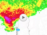
1:15 PM: I'm going way faster on these 2-lane roads than I should. Chasing down a storm from behind is such slow progress. On radar, the storm's hook is looking really good just east of Parker, CO. Tornado could be ongoing.
1:36 PM: Old cell dying; new southern-flank cell taking its place just to our north. We could be in great position for this one.
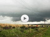
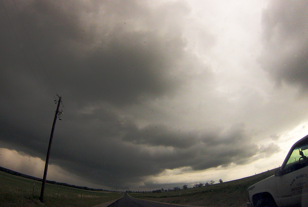
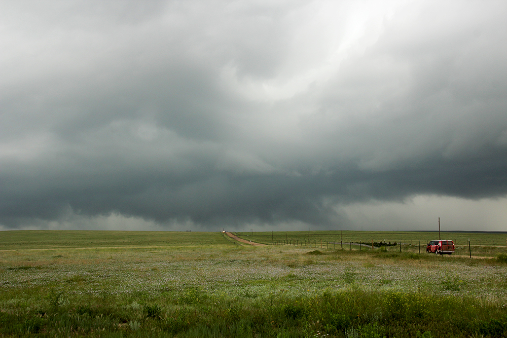
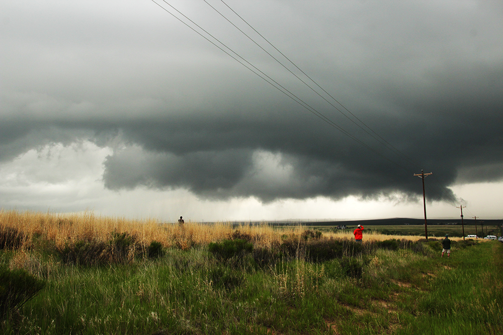
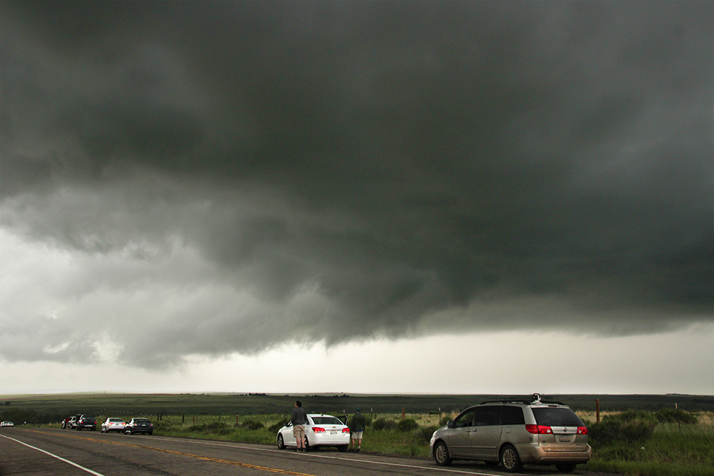
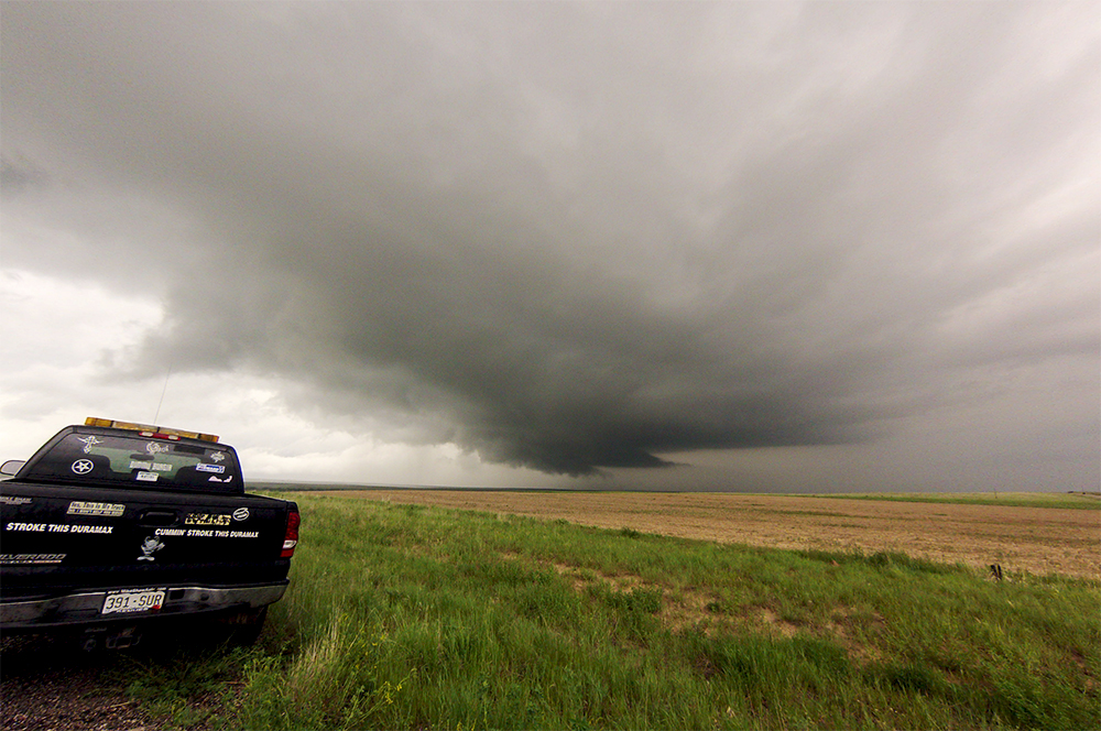
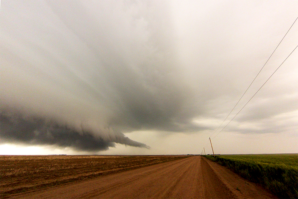
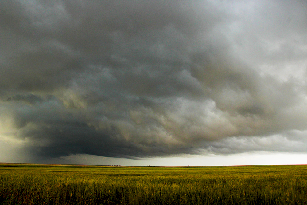
1:56 PM: This new supercell is rapidly strengthening! We are stopped just a mile or so east of it as it moves north - getting first timelapse of the day. There's broad rotation and great upward motion. Also, an antelope just snorted angrily at me from across the field.
2:12 PM: Repositioned north to keep up. We are now in the inflow notch near the E.Quincy / Kiowa Rd intersection.
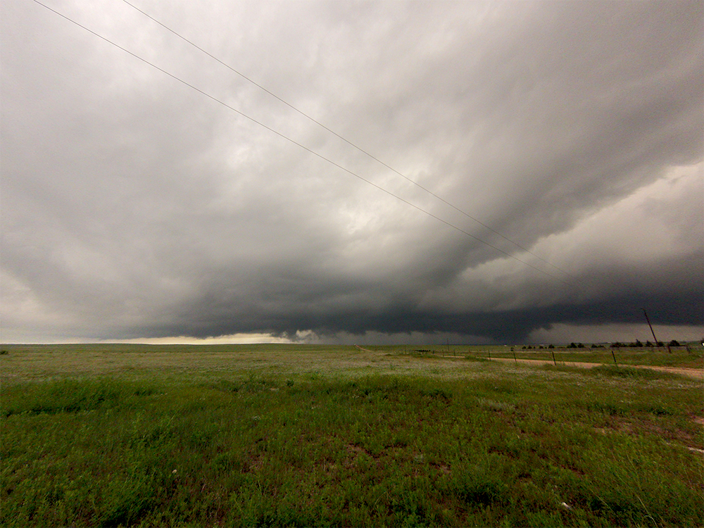
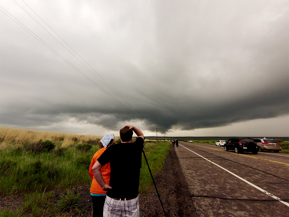
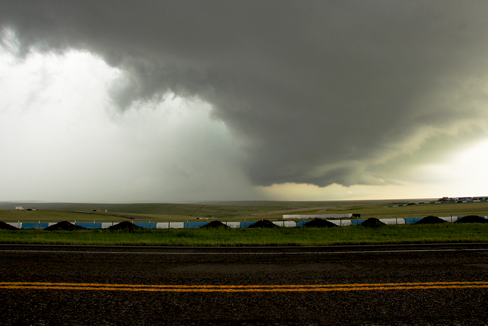
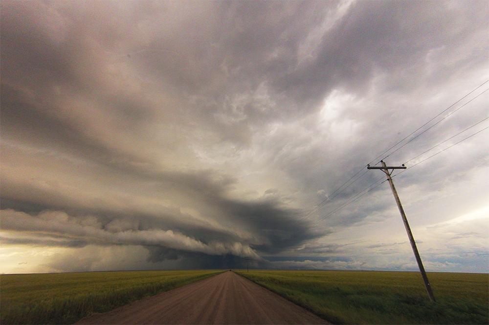
2:17 PM: TORNADO WARNING!! We are in prime position and this thing looks beautiful on radar. There's a broad lowering to our east that is rotating very nicely, and the RFD cut is punching in from south to north.
2:27 PM: Well darn. Our storm went from really nicely organized to falling apart in the last 10 minutes. Now I'm eyeing a new cell just to our south. Gonna reposition back south for that one.
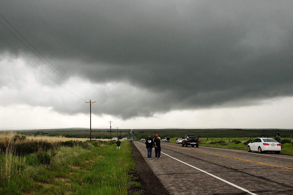
2:44 PM: Had a tough time finding a pulloff as the roads are getting more clogged. This new cell doesn't look quite as organized as the last one.
3:00 PM: The core of the new supercell is now a few miles to our north with the RFD arc overhead. Nothing looks imminently tornadic so I'm gonna pursue north.
3:10 PM: The last 10 minutes have been strange. As we were carefully driving north (into the potentially tornadic part of the storm) a tornado warning was issued. But at the same time, the storm appears to be shriveling up both on radar and visually. Not sure what is going on right now.
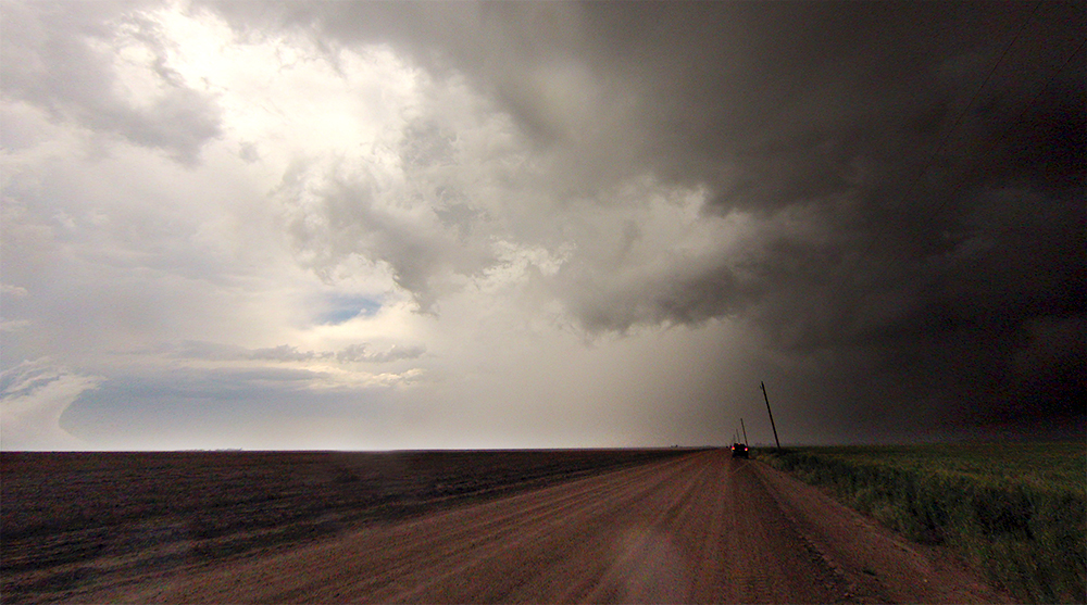
3:27 PM: Jogging east and north, we again passed under the RFD arc and updraft base and then on into the storm core to get to Bennett for gas. Despite the tornado warning, I felt pretty darn safe with this maneuver as the structure did not indicate a tornado was about to form.
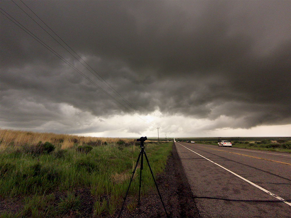
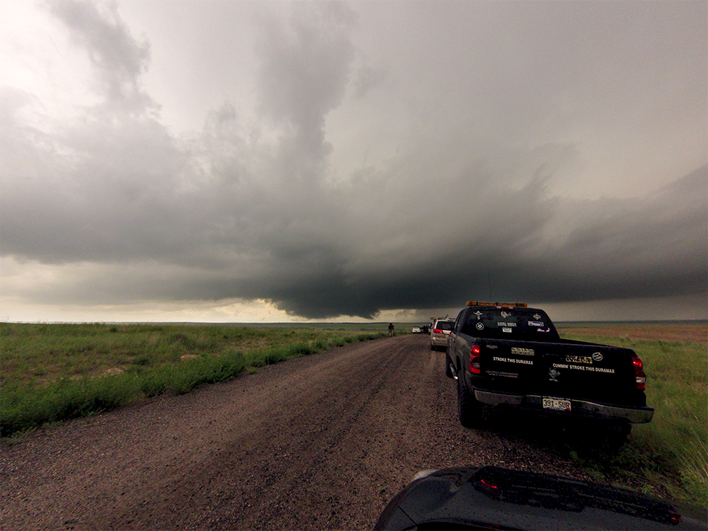
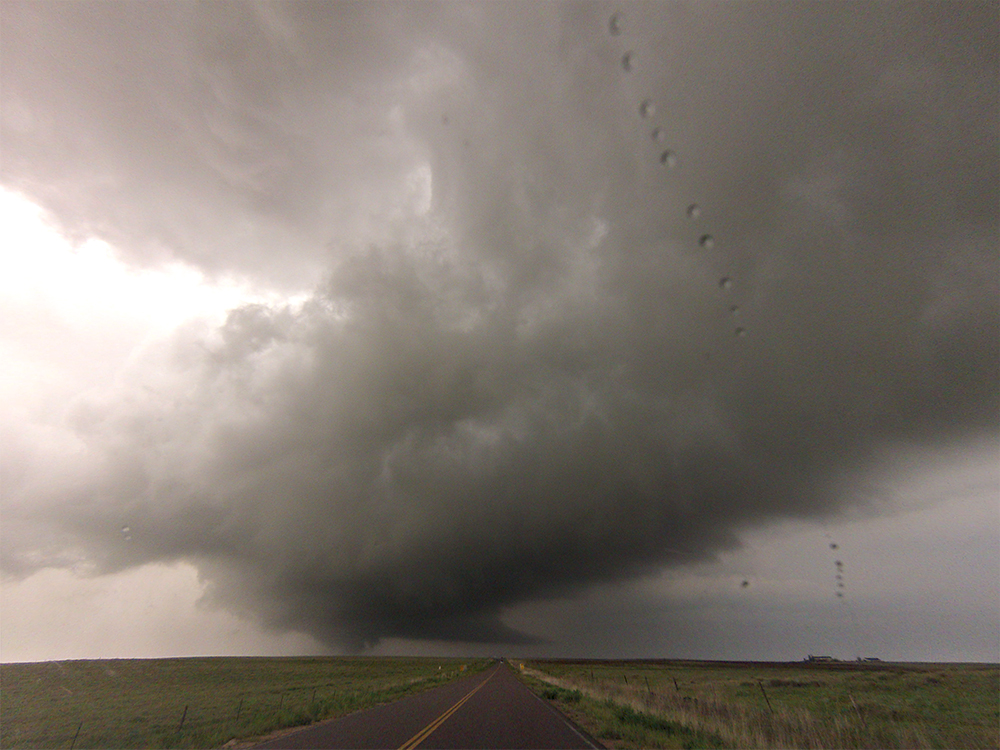
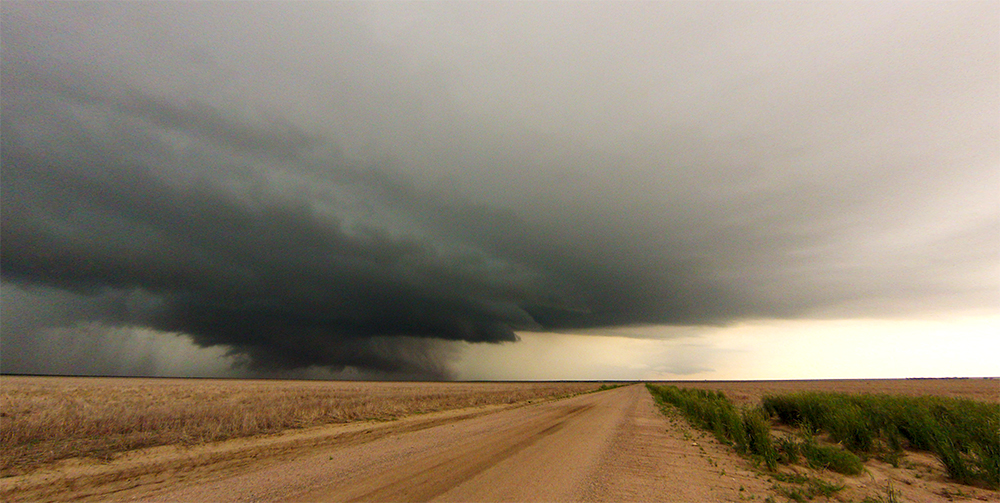
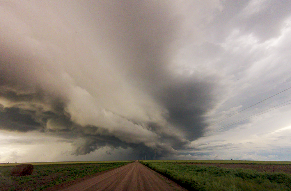
3:48 PM: We're on familiar road east of Bennett and the cell is looking better organized. About to pull off Hwy 36 and go north for the intercept!
4:01 PM: QUADCOPTER DISASTER! I rushed to get a quick aerial shot as the RFD closed in, but a big downward gust caused me to crash into the side of the Crosstrek. Broke a prop, hopefully nothing worse :( Also the storm structure is looking better, but no tornado as the RFD hook passed just to our north.
4:19 PM: Back south on Hwy 36 again, and a new cell is rapidly organizing. I'm starting to lose track of how many we've seen. Right now we are sitting in the forward flank hail core but we can still see the developing inflow region just to our south.
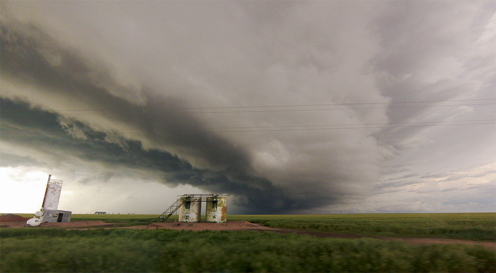
4:37 PM: Repositioned just a bit east to stay ahead of the precip. We are now in the inflow notch of the new supercell. There's a racetrack with an ongoing race beside the highway - they'll have to stop the race in a minute when this core moves in.
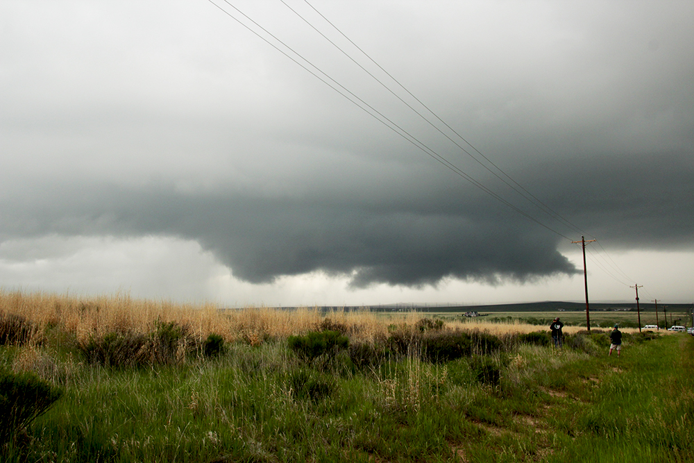
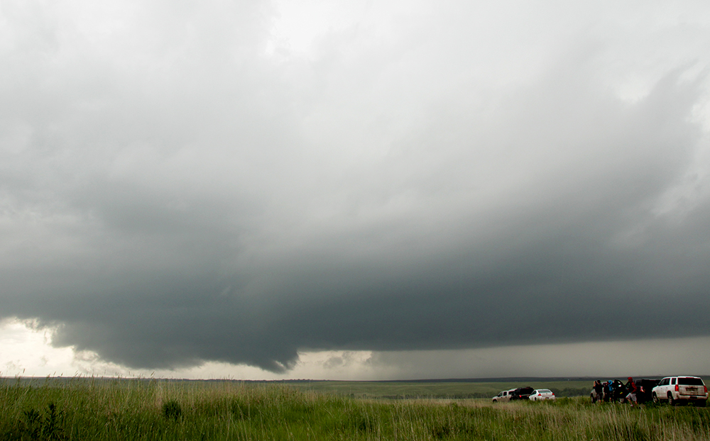
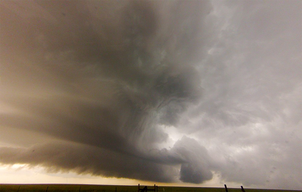
4:50 PM: Heading north again for another intercept as the cell pulls away from the main highway. Structure looks potent!
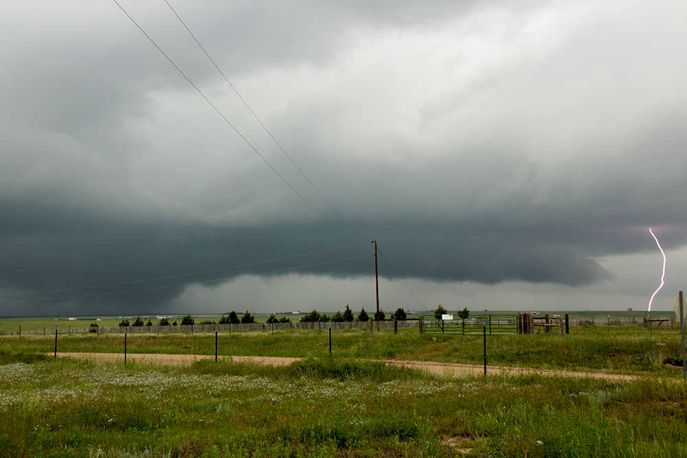
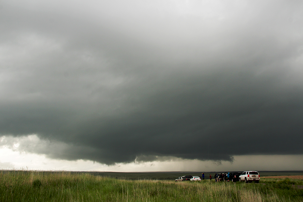
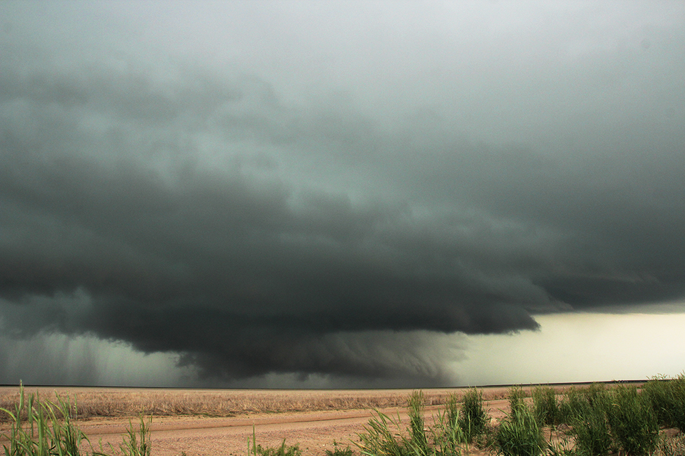
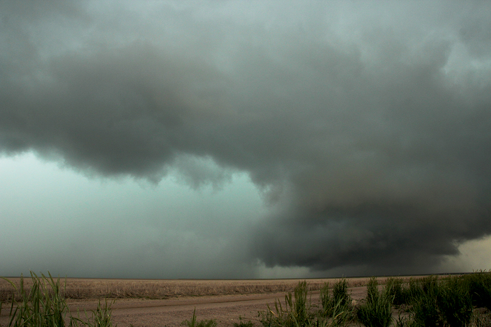
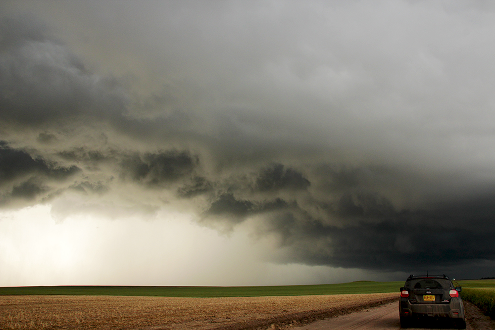
5:05 PM: A nice, tight RFD arc punched past us about a mile of the road. Lots of nice green hues up in the clouds. But once again, no tornado even though we were in great position to see one. This storm is now getting some messy convection in its inflow region - might be done.
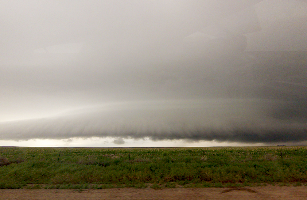
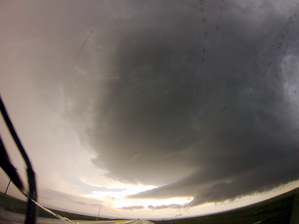
6:10 PM: We've drifted along with this supercell complex for the last hour as its gradually lost its inflow nature. Now we have a beautifully-terraced linear storm complex. No tornado chances but this is some of the nicest structure we've seen all day.
6:32 PM: Some of the most dramatic and turbulent motion (if not organized) I've ever witnessed as this line of storms appears to stall out. At one point a surging downward piece of cloud almost made me feel like I should duck!
7:11 PM: That was the closest we've ever gotten to being stuck in the mud. We spent the last 30 minutes dropping 10 miles south to get back on Hwy 36. Finally made it. Can't believe I'm saying this, but we are heading to Colby Kansas for the night, targeting NORTHEAST NEBRASKA tomorrow - the furthest we've even been from home on a chase.
8:57 PM: Grabbing a quick bite in Goodland. Just south of Colby is a very impressive tornado warned storm. It's dark now but I might have to get a little closer look before we go to bed in Colby.
9:42 PM: Toni's not too pleased, but we dropped about 6 miles south of Colby to check out this supercell near Monument. We are late to the show, however, and it's falling apart. There is little velocity couplet that is heading north towards us though.
10:00 PM: Nothing else to report as the Monument storm fell apart completely. Heading into Colby for some sleep.
Recap, Filmmaking Notes, and Lessons Learned
- Well, as has been the theme for 2015, we picked the wrong cells again today and missed some nice tornadoes northeast of Limon.
- To add insult to injury, I also crashed my quadcopter today. Lesson learned: don't underestimate the downward vector of an RFD gust. It blew the Phantom down and into the side of the Crosstrek before I could react and increase power. Other lesson learned: don't try to get in a last second flight as the RFD approaches.
- The Crosstrek can handle some really soft mud, as we found out on the dirt grid south of Akron. This was the most intense mud driving I've ever been in.