Date: April 8, 2015
Time: 5:00 - 8:30 PM CDT
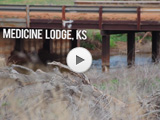
Place: Medicine Lodge, KS
Distance: 1372 mi (675 positioning, 111 chasing, 586 to home)
Camera: T3i, GoPro3 Silver, Lumix
Warnings: TOR
Rating: S5
The Chase
6:00 PM (Apr 7): This year I'm gonna try something different and keep real time notes during the chase. I feel like my old logs have a sort of "we went here, then we went here and saw this" feel that gets a little stale. Maybe this will liven things up.
6:05 PM (Apr 7): Leaving Albuquerque now for a chase tomorrow in southern Kansas!
12:25 AM: Just crossed into Oklahoma and got flashed by their traffic cam. Thought it was lightning at first -- very distracting. I didn't notice that the speed limit drops on I-40 in Oklahoma. Hope I don't get mailed a ticket before the season even starts.
1:03 AM: In Elk City for the night. Ramada Inn is NOT a 3-star motel. C'mon Hotwire.
10:51 AM: Got a free breakfast at the little diner next to the Ramada. I didn't mind it. Toni was not impressed.
10:57 AM: We're heading east towards Oklahoma City. Gonna target I-35 on the Kansas / Oklahoma border, for now at least.
11:19 AM: Dang - driving through Clinton and morning convection is going up. Even saw a flash of lightning. Not sure what this does to my forecast yet, as this junk is heading towards the general area of my target.
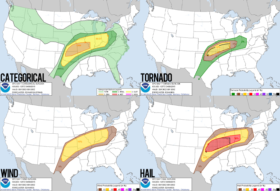
12:16 PM: Gassing up in El Reno, always feel a little creepy here. The 1630 SPC outlook just upped the tornado probs to 15% hatched. Not sure what they're seeing, I was expecting less with this morning convection throwing a wrench into things.
2:16 PM: In Tonkawa with lots of other chasers. Toni convinced me to get a gas station Cinnabon. #LifeChoices. Early convection tracking across our area now. One cell went severe warned to the northeast, but it doesn't look like anyone is biting on it. We're all waiting on the main show (hopefully).
2:50 PM: Smack dab in the middle of Tornado Watch #0036!
3:59 PM: Left Tonkawa to get north of the rain and clouds. Sitting here south between South Haven and Welling, KS (just south of the warm front) and the air feels much more like a storm chase day. Feeling optimistic!
4:41 PM: Still near Wellington (just west). I'm second, third and forth guessing my forecast. Some convection is going up way east of Wichita along the warm front, but also initiating way west as well. The dryline is tons farther west than the models were saying.
4:51 PM: FIRST 2015 CHASE IS ON!!! Decided to bite on the western storms. Alot more west than planned (should've just gone north from Elk City), but it's still early so we should be there with plenty of daylight left.
5:43 PM: Stopped just west of Anthony, KS to get a feel for what these storms are thinking. They're still a ways to our west, and still looking unorganized. Sadly, the sky looks so boring right not. Nothing inspiring any pre-storm filming.
5:58 PM: The storm furthest to the west looks promising. Gonna get closer.
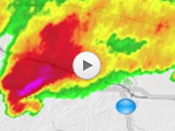
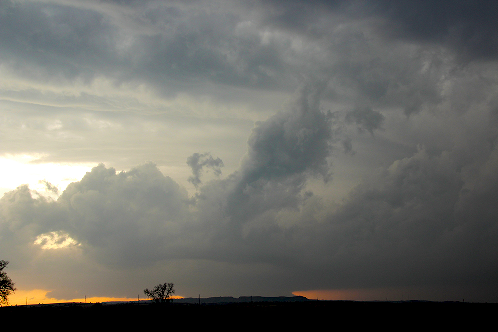
6:07 PM: TORNADO WARNING on the western-most storm!! Should have been more aggressive getting to it - we are still northeast of Kiowa, KS about 30 miles from where we need to be.
6:12 PM: Hook echo starting to look really nice. Should see the base in just a bit. Road options look tricky though.
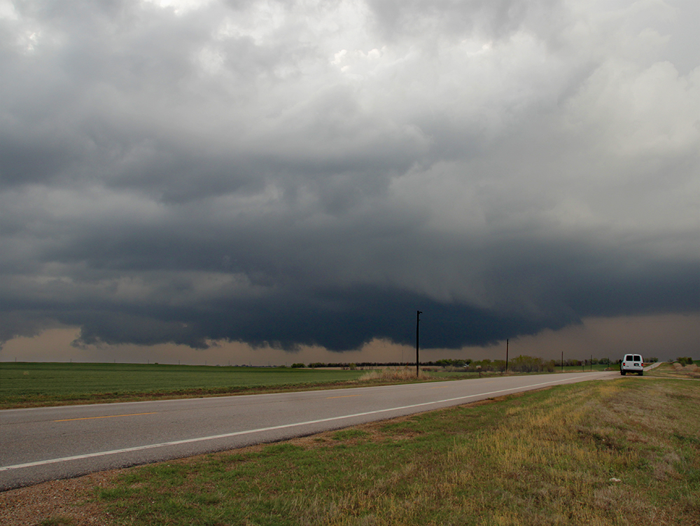
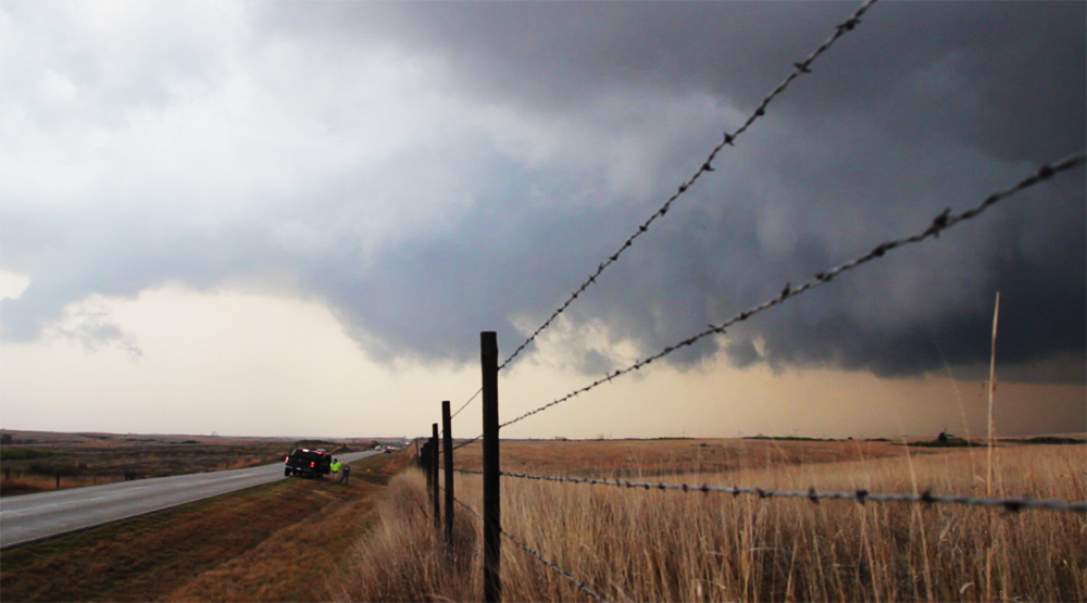
6:27 PM: Nobody can get to this storm. I just realized its in Barber county - the only county in southern Kansas without a good grid. We're setting up for an intercept near Medicine Lodge.
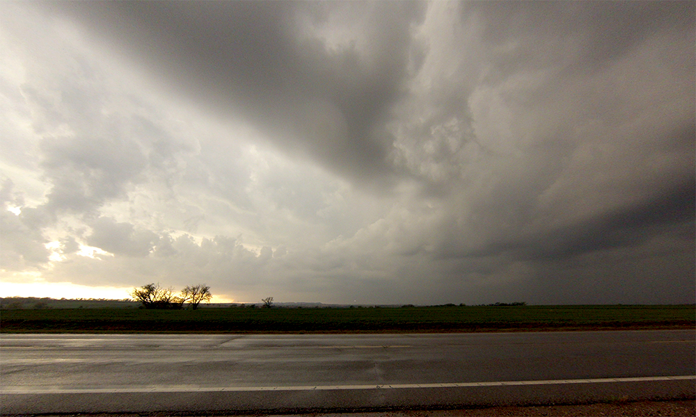
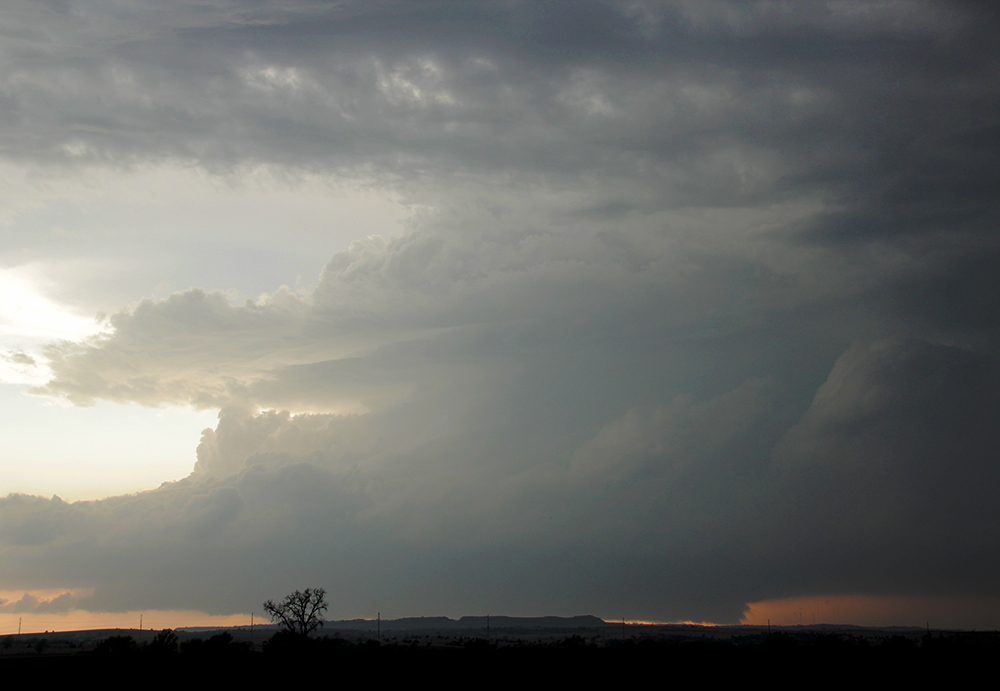
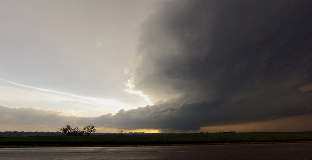
6:50 PM: Got a good vantage point about 2 miles south of Medicine Lodge. In a rain-free region with the supercell to our WSW -- barely getting a view now. All cameras are rolling!
7:01 PM: Tornado reports coming in on our storm. Crap, we can't quite see the base behind a little row of hills to our west.
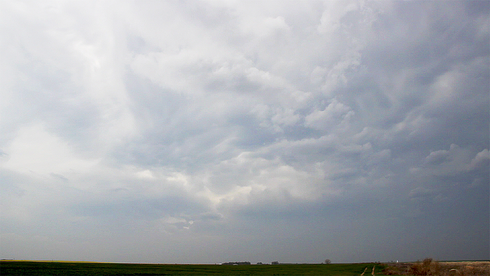
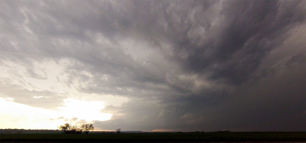
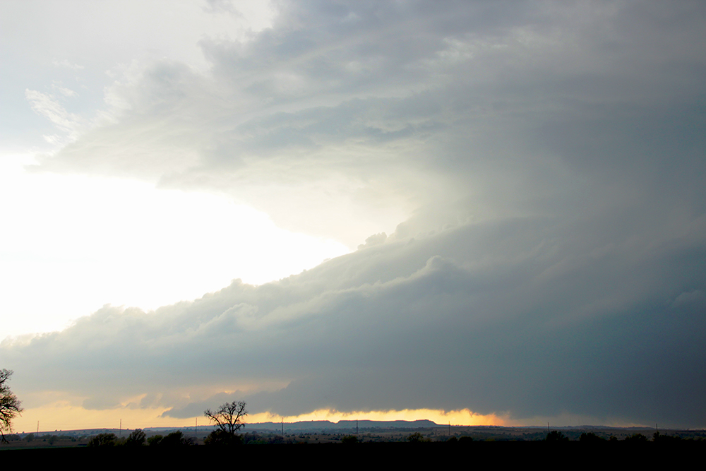
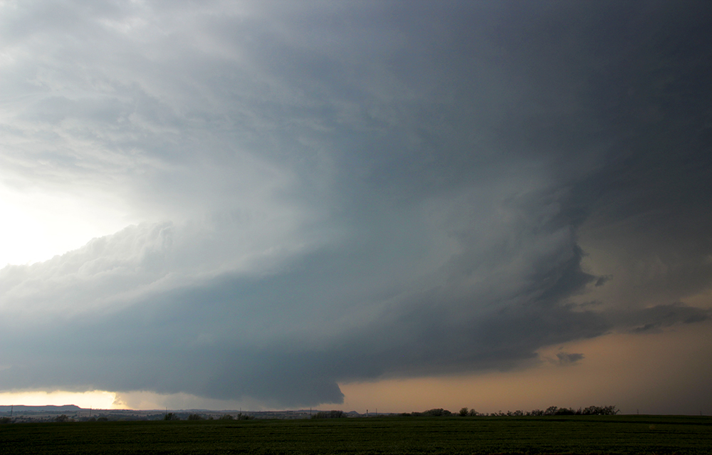
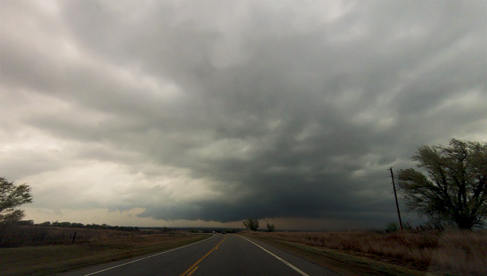
7:09 PM: Intermediate clouds have totally cleared out and we have an amazing view of the entire structure. One of the nicest supercells we've ever seen!
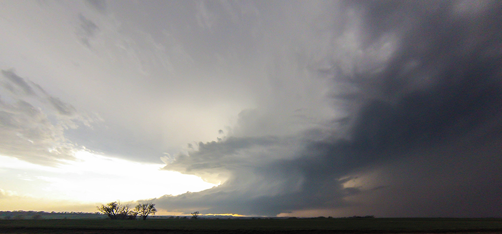
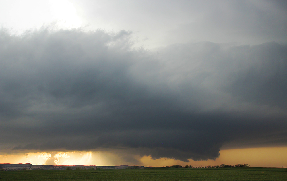
7:15 PM: Looks like a new wallcloud is trying to handoff to the east of the old one (we never really had a good view of the old one). This could be bad for Medicine Lodge. We are still sitting in the same spot. Got some epic timelapse of this structure.
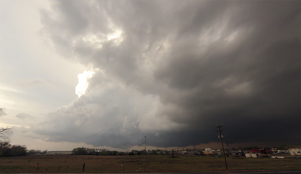
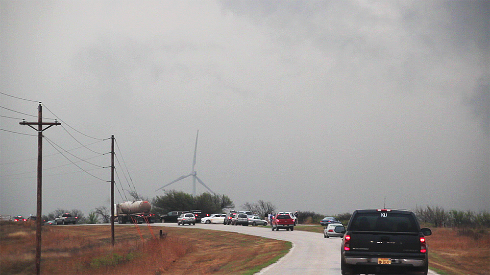
7:28 PM: New wallcloud looks messy, and it's about to pull away to the north. We're falling behind the chase hoard now. Moving cautiously through town to keep up with it.
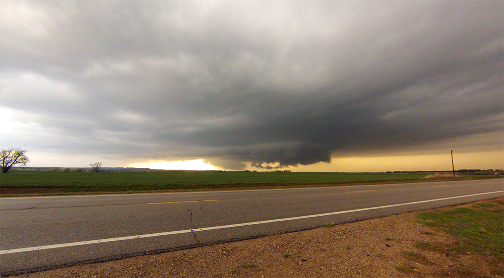
7:42 PM: Got through Medicine Lodge safely, the town will be ok. Heading north on Isabel Rd - a new RFD cut is slicing in!
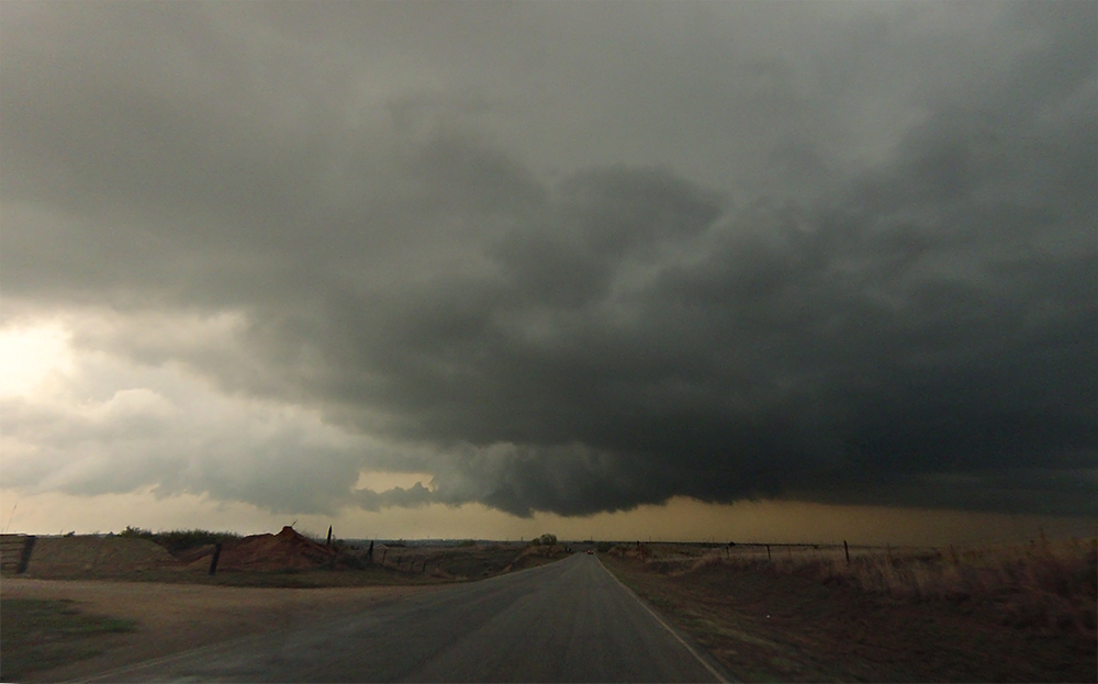
7:51 PM: This new cycle failed :( This might be it for this storm. We are really in the chase hoard now. No one is being bad though from what we can tell.
7:59 PM: Well, someone stopped COMPLETELY in the road at the intersection of Isabel and NE Ridge Rd. Jeez.
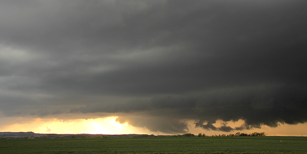
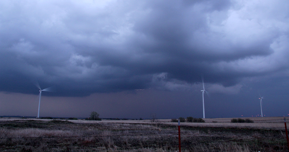
8:07 PM: Storm is looking really poor now both on radar and in person. We are tracking east on NE Ridge Rd about a mile south of its precip core. No rotation at this time.
8:25 PM: Calling it a chase. Not even much lightning to film as the storm dies.
8:32 PM: Man, we are so far from a hotel. Gonna head to Woodward, OK for the first time ever.
9:14 PM: Stopped back in Medicine Lodge for Sonic supper. Poor Toni hasn't had a good meal yet today.
11:20 PM: Woohoo, hello Woodward Holiday Inn Express. So sleepy.
Recap, Filmmaking Notes, and Lessons Learned
- We were lucky and ended up on the storm of the day, but were unlucky in missing the short lived tornadoes it produced. Some folks ventured onto the winding, muddy Barber County roads and scored the tornadoes up close. We could've actually seen the tornadoes if we were just a bit higher above the intervening hills. That stings a little.
- Another supercell south in Oklahoma looked very promising for a while, but died when it entered the worked over air from the morning convection. Not always a hard and fast rule, but something to consider when choosing a storm.
- ALWAYS scour the surface obs for the dryline position and don't just assume the models will have it about right. I know this, but if I'd paid a little more attention I might have headed west sooner.
- It's hard to have a consistent vantage point for more than 30 minutes while chasing, but when you can it makes for some very satisfying timelapse.