Date: April 16, 1998
Time: 3:30 P.M.
Place: My Grandparents' House
Camera: Minolta 35mm
Warnings: Tornado Warning
Rating: S5
A severe weather outbreak unlike any I've ever experienced ravaged Middle Tennessee today.
In Davidson county alone, 5 Tornado Warnings, 3 Severe Thunderstorm Warnings, and 2 Flash Flood
Warnings were issued. I lack pictures for the other four storms today because they either missed us,
or ocurred when it was too dark for photos.
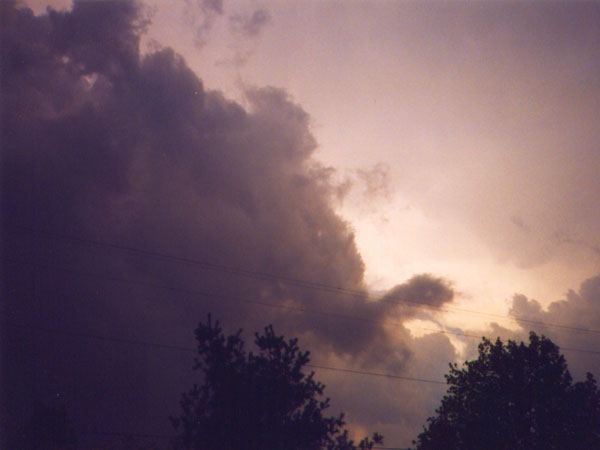
This was first and strongest of 3 tornadic cells that would hit our county witin 2 hours. I watched it from our house for about
30 minutes before it arrived. We moved to our Grandparent's house when the Tornado Warning was issued.
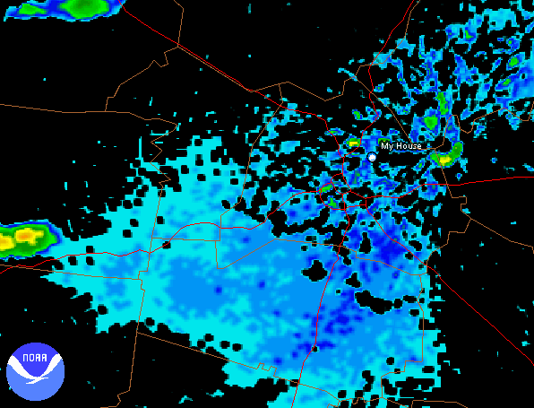
Local radars showed an incredible hook on the southwest side of the storm moving toward downtown Nashville
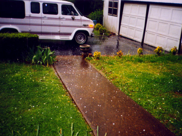
and toward us! A very intense hail shaft was located to the northeast of the hook. Hail began to fall at
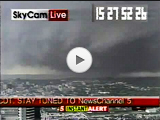
3:15 and grew to quarter size. Then, as I was watching the local news reports, downtown city cameras showed debris flying through
the air! At 3:30 Dad called from downtown reporting a huge wedge tornado on the ground and moving our way! The hail,
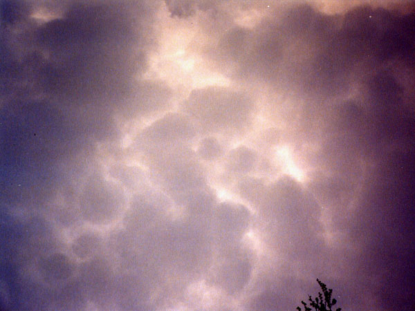
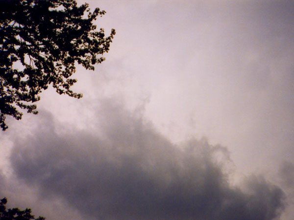
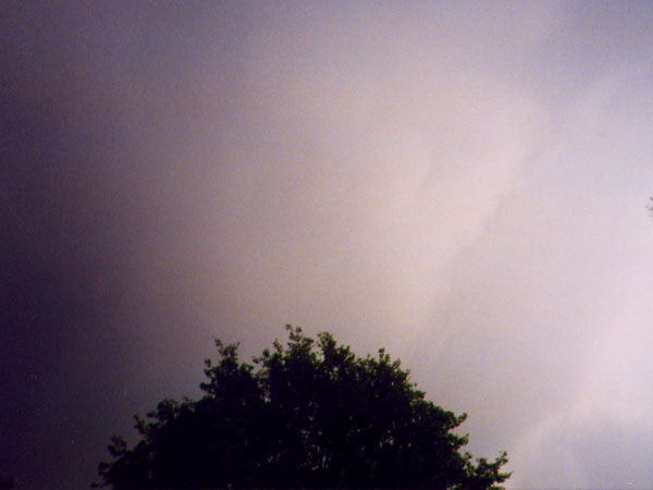
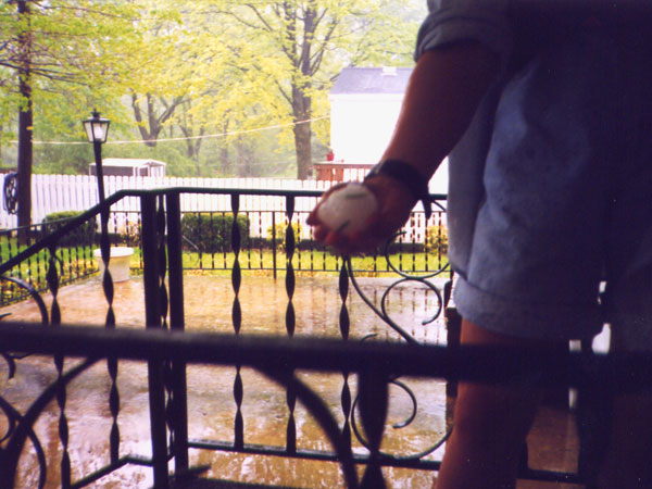
which was very large, and heavy rain slackened off into a fine mist. We could see low clouds to our south moving
extremely rapidly to the west, around the mesocyclone. Rain and huge hailstones (a few were baseball size!) pelted
down again. Then it was all over.
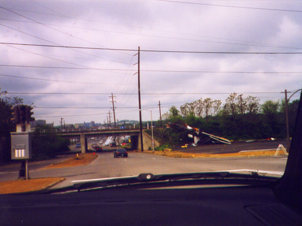
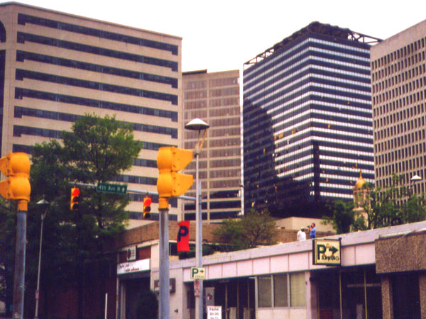
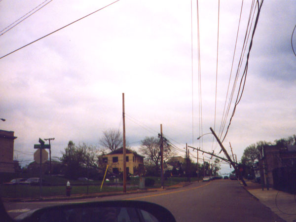
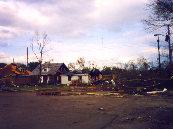
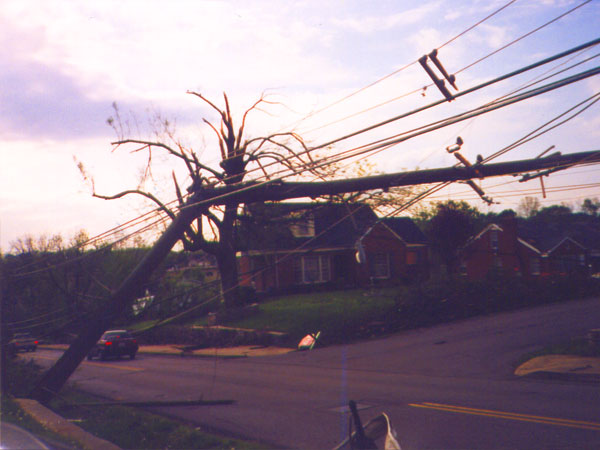
It turned out that Downtown Nashville had been directly hit by the tornado (later it was determined to be an F3).
Dad, from a TSU balcony, observed the tornado moving in from the southwest until flying billboards sent him running
for cover. The tornado was on the ground for 15 miles. It missed us by about 2 miles. Downtown was declared a disaster
area, with numerous buildings damaged, power out and debris everywhere. This storm was easily the most exciting storm
I've ever been in!